
alfalfa
-
Posts
472 -
Joined
-
Last visited
-
Days Won
2
Content Type
Profiles
Forums
Events
Posts posted by alfalfa
-
-
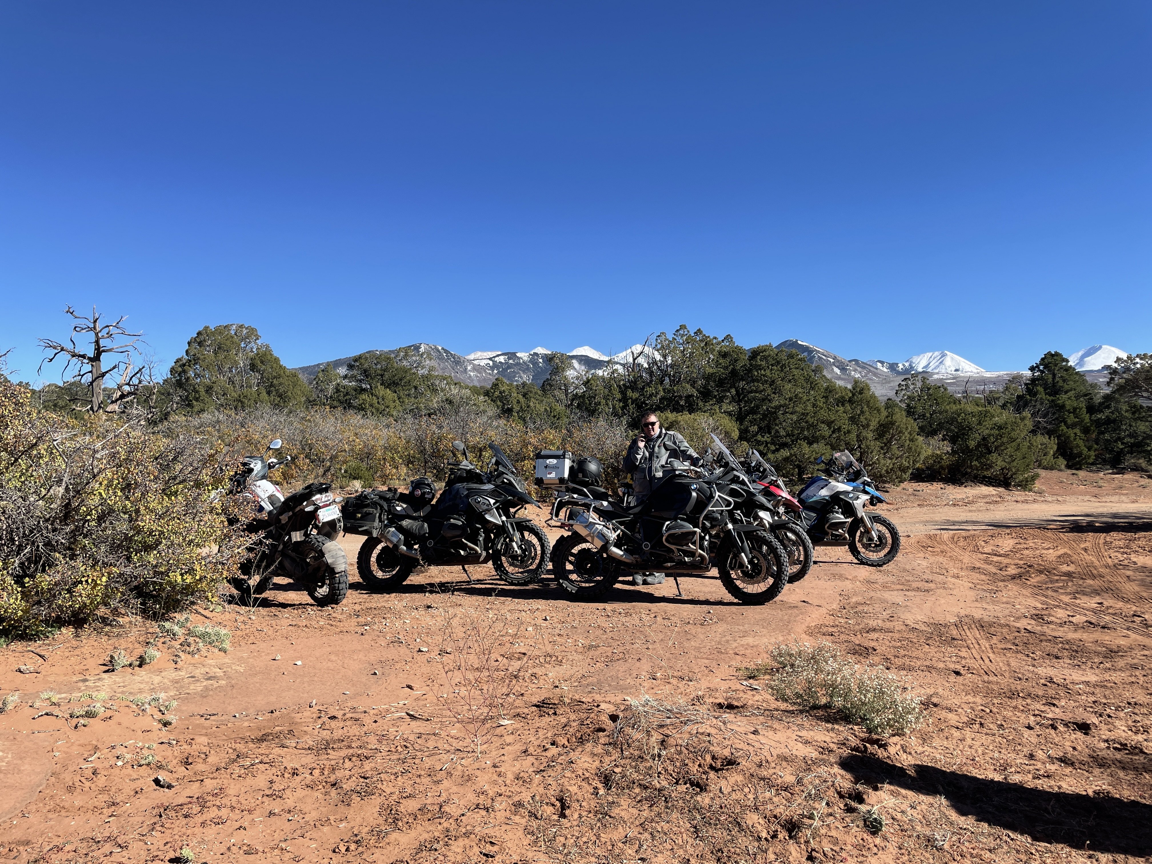
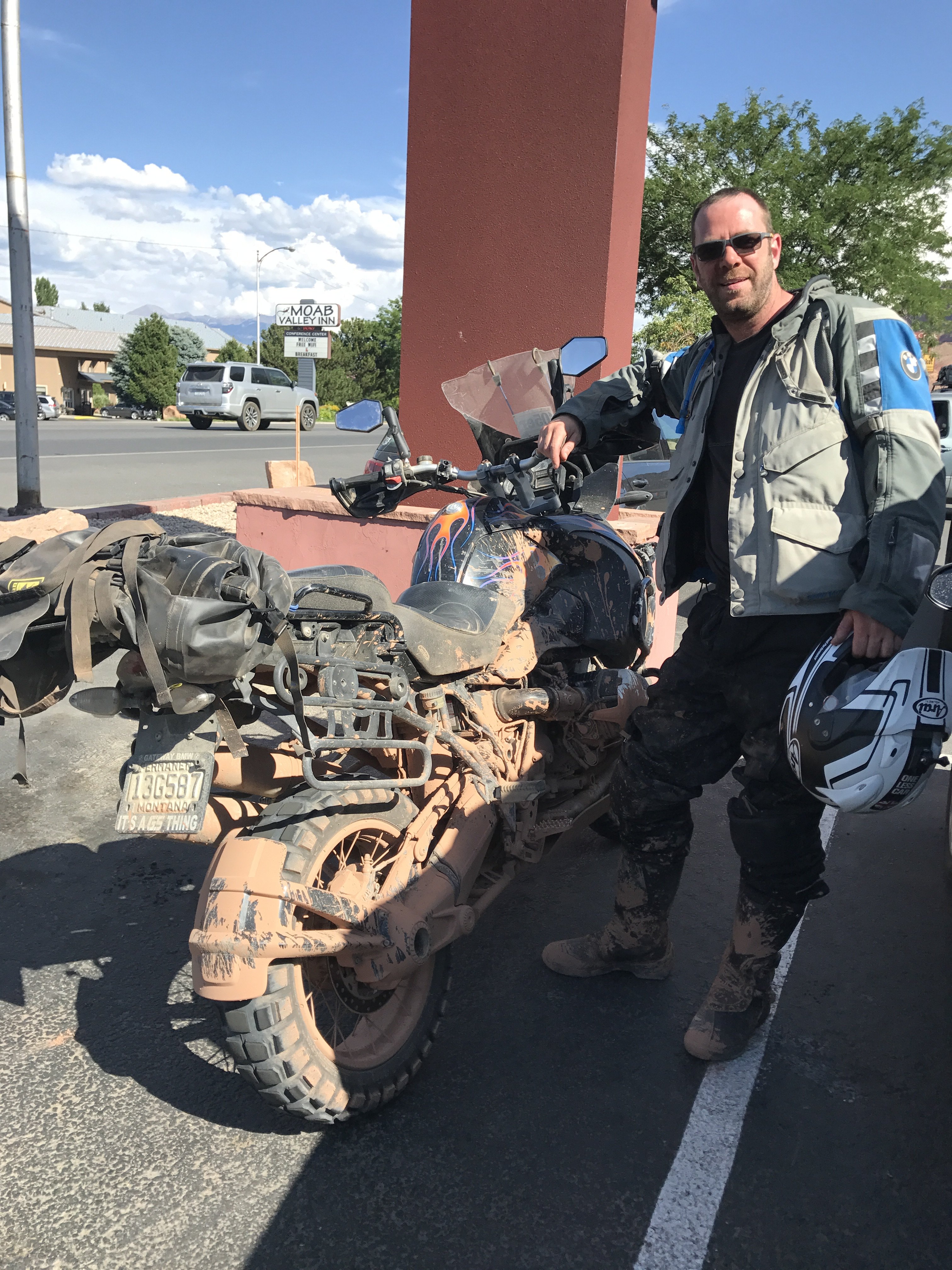
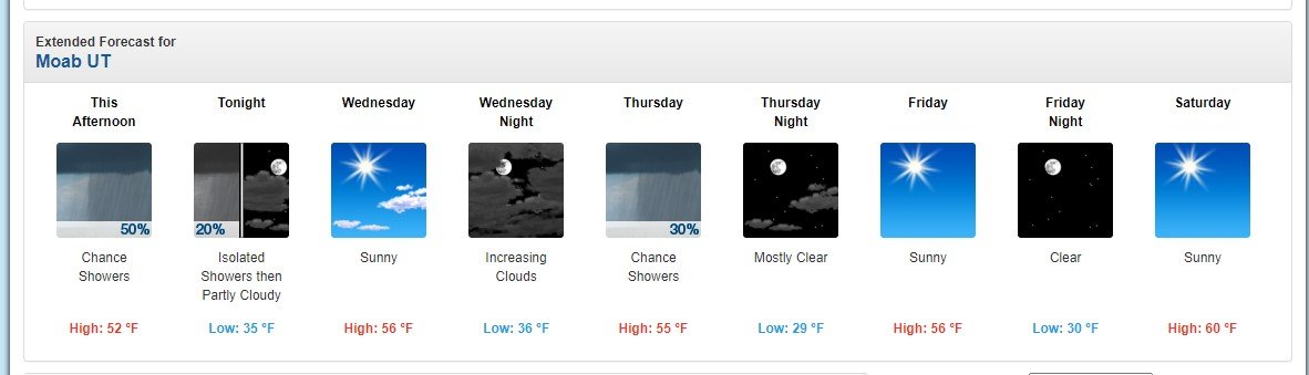
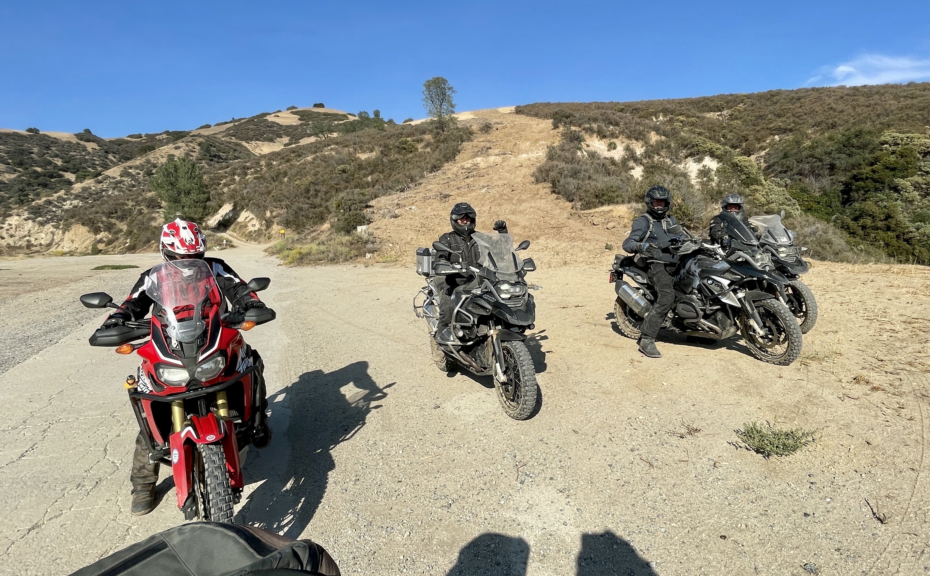
We took off from 3Step, heading to Moab for a couple of days. Waking up to snow on the mountains, we chose to stick to the pavement and try out some areas around town. I've been to Moab about 5 times now, but have spent most of the time in and around Canyonlands, especially the White Rim Trail. Gary, along this trip, knew of several other trails so we headed out for them.
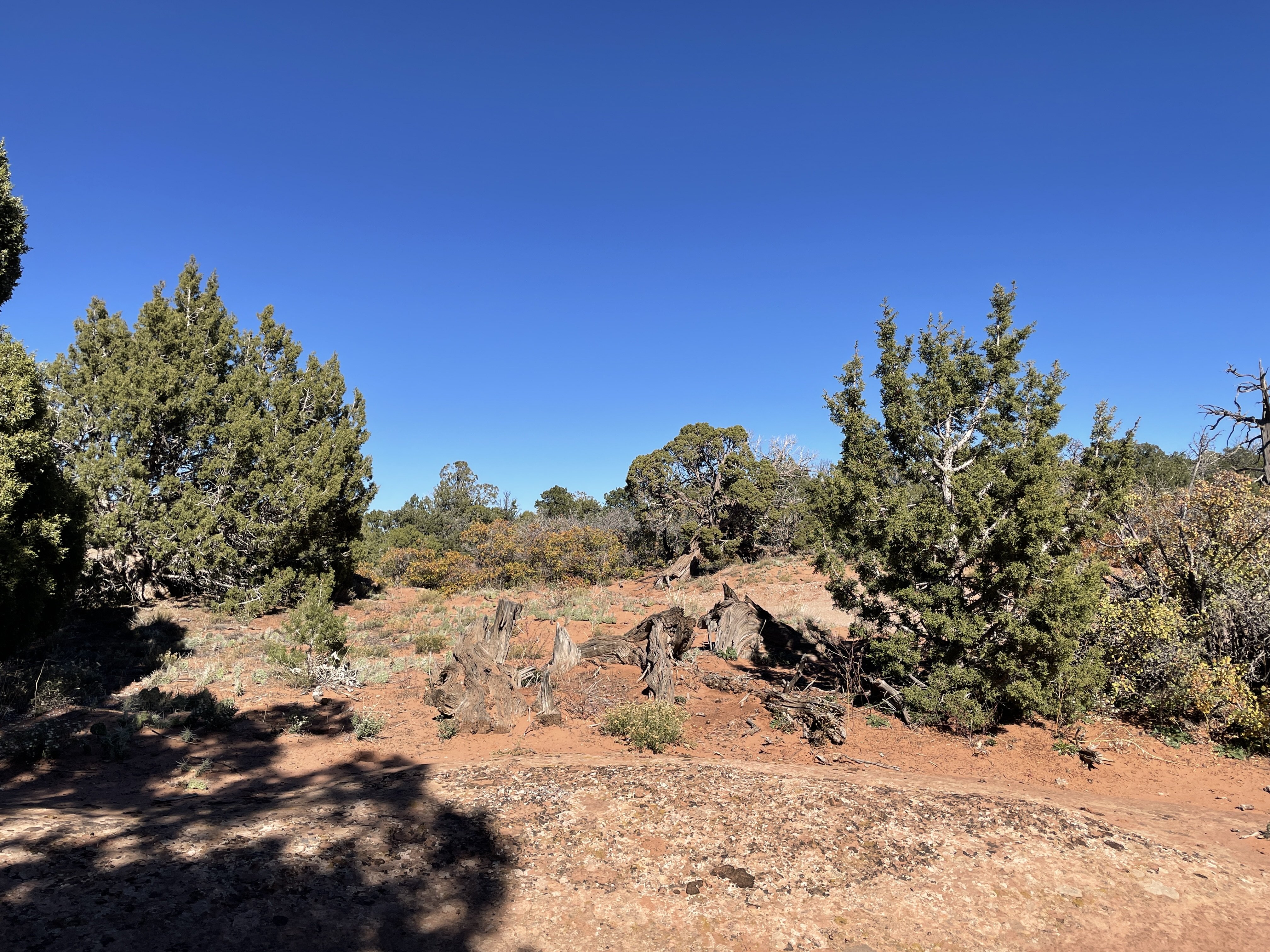
First up was an area called "Fins and Things", located in an area known as Slickrock. This area is east of Moab and characterized by smooth surfaced rock formations. You've probably seen videos of the rock crawlers that inhabit this area. Fins and Things is a one way trail complex that runs up and over large boulders, mixed with sand in between. Some steep drops and climbs make it even more interesting. We had fun for a mile or so, before encountering a steep, high rock face that caused us to turn around. But, not before entertaining the heck out of some dirt bike guys

Bailing on Fins, we headed further east into the mountains.

It was checkin time at our Bed n Breakfast, so we headed back into town.
rugged adventure riders, getting their manicure appts made.
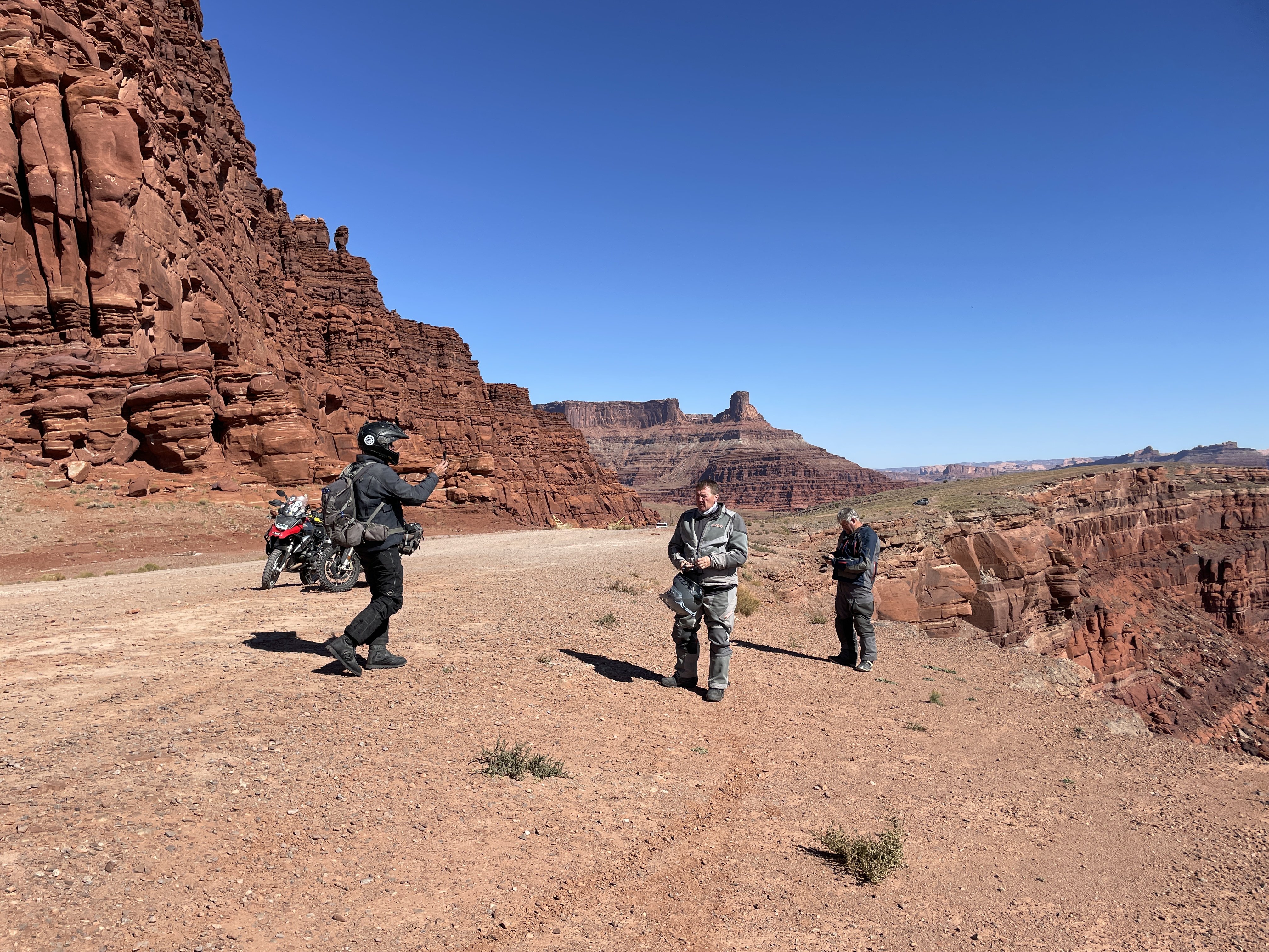
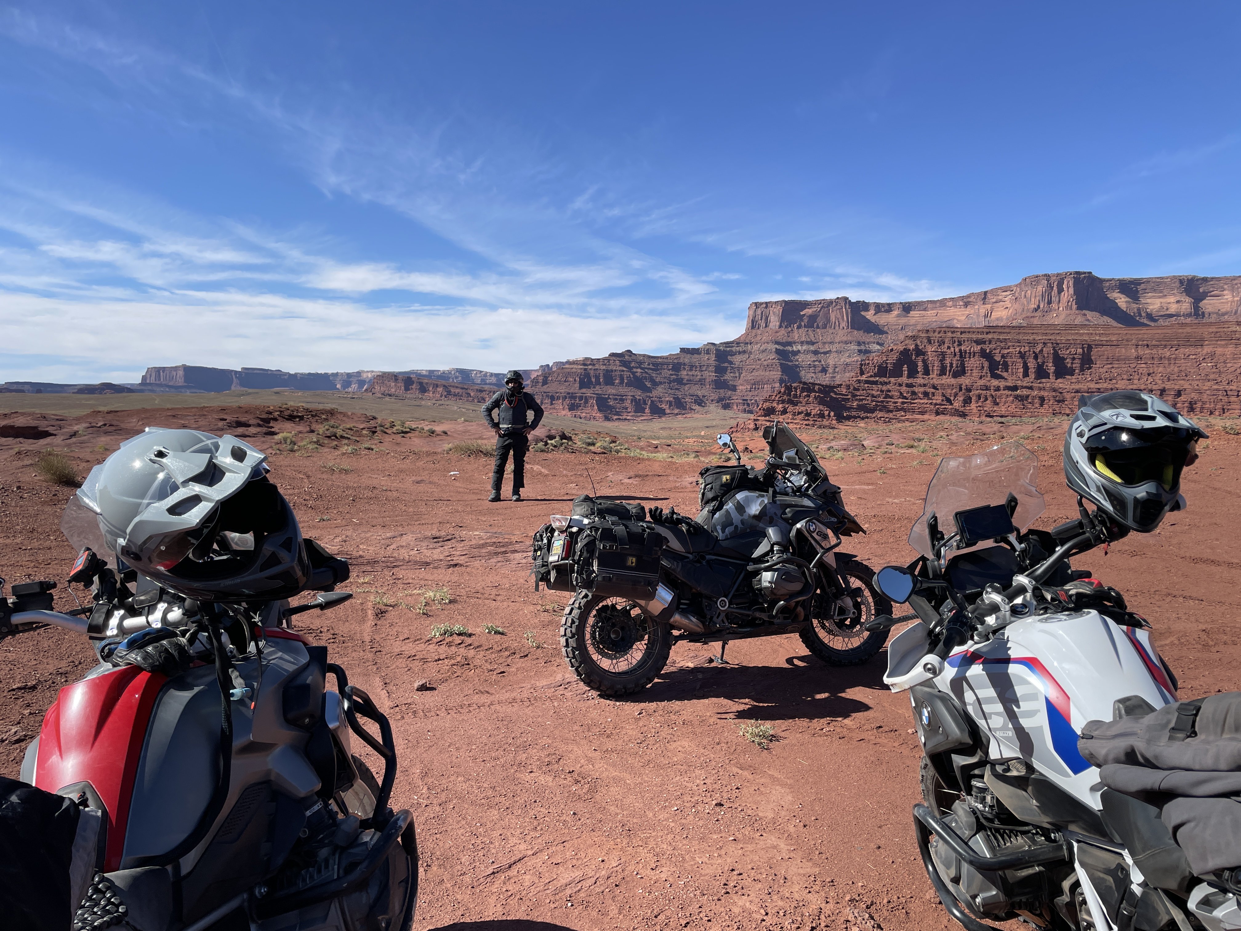
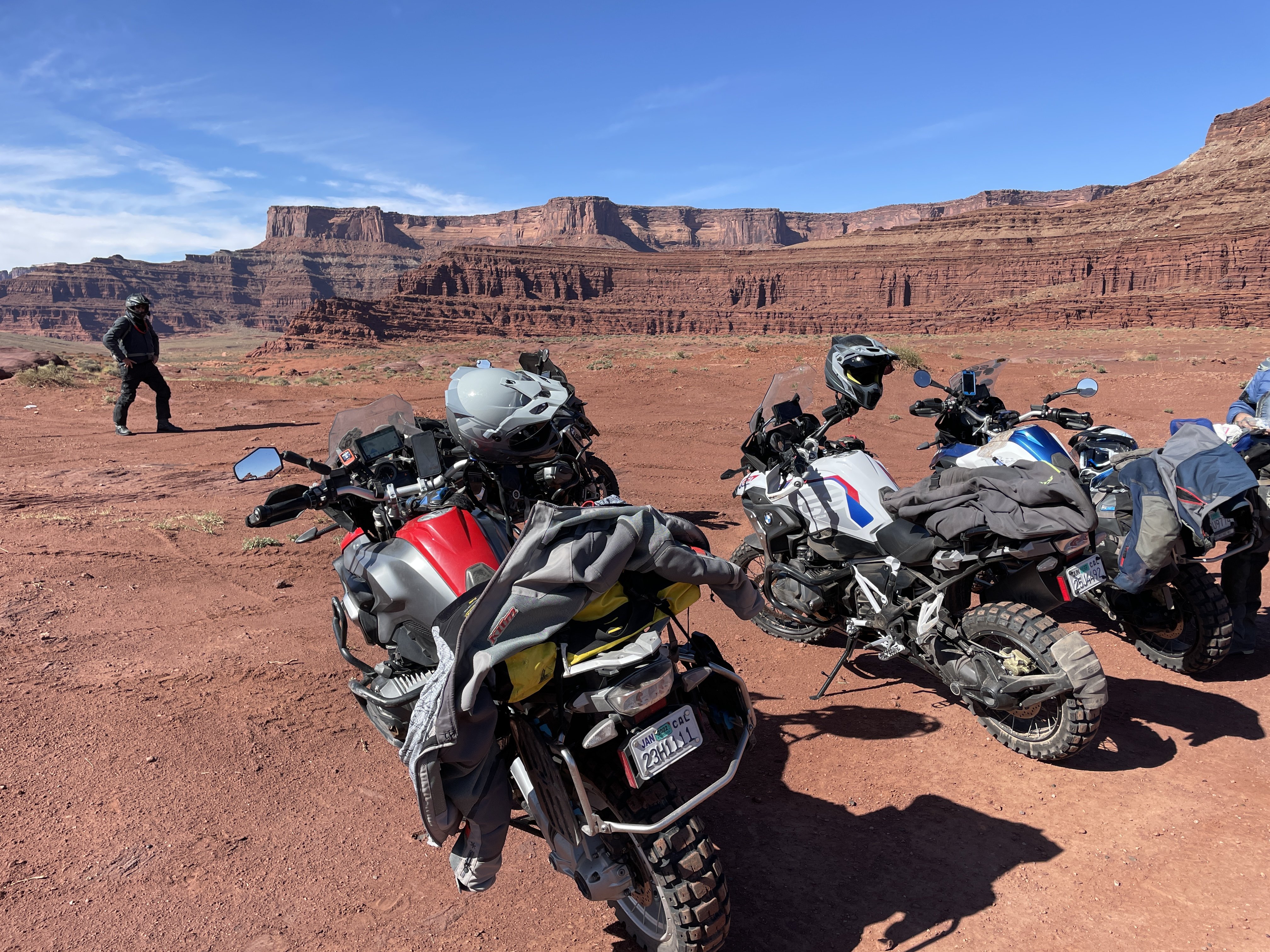
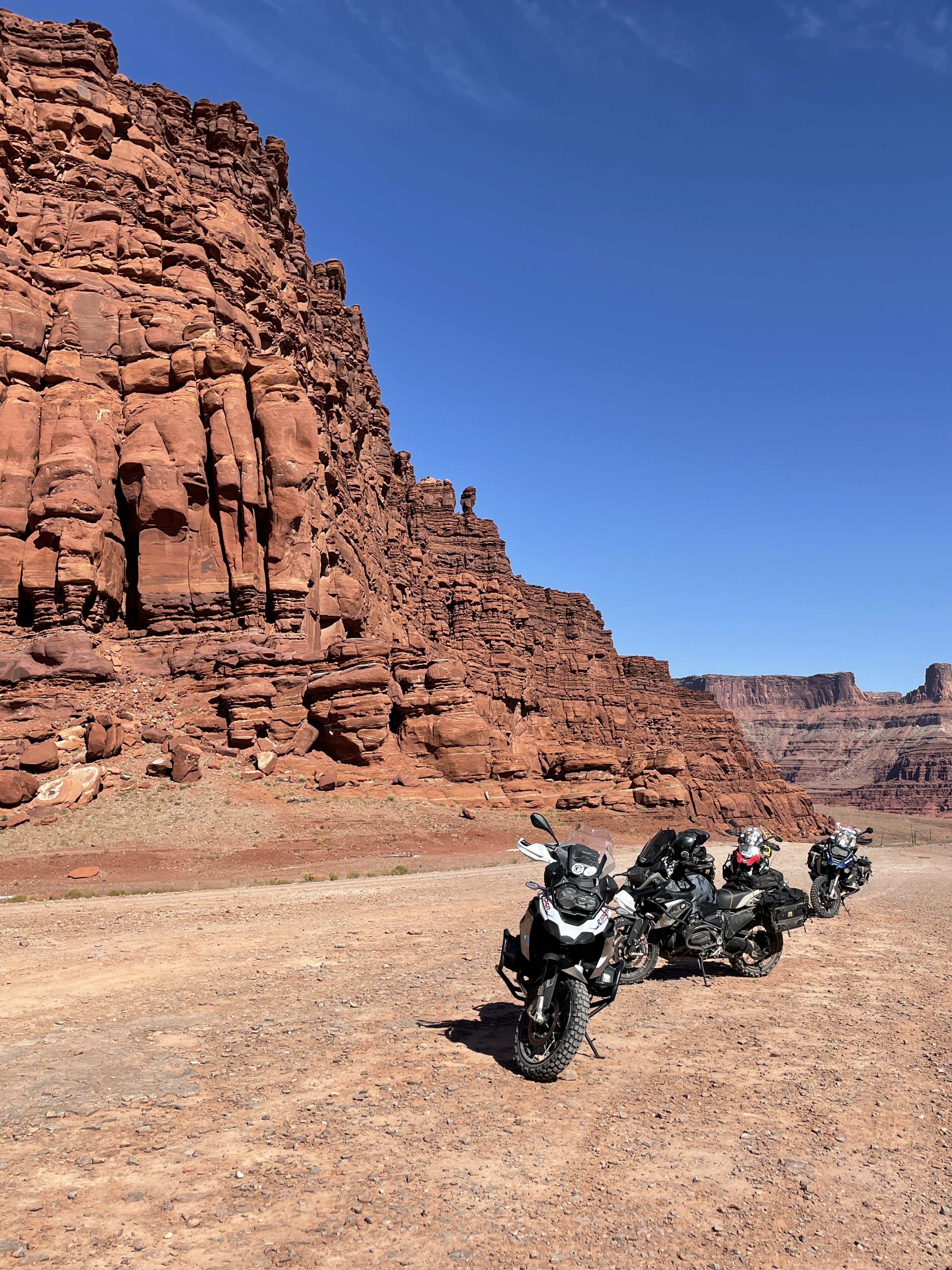
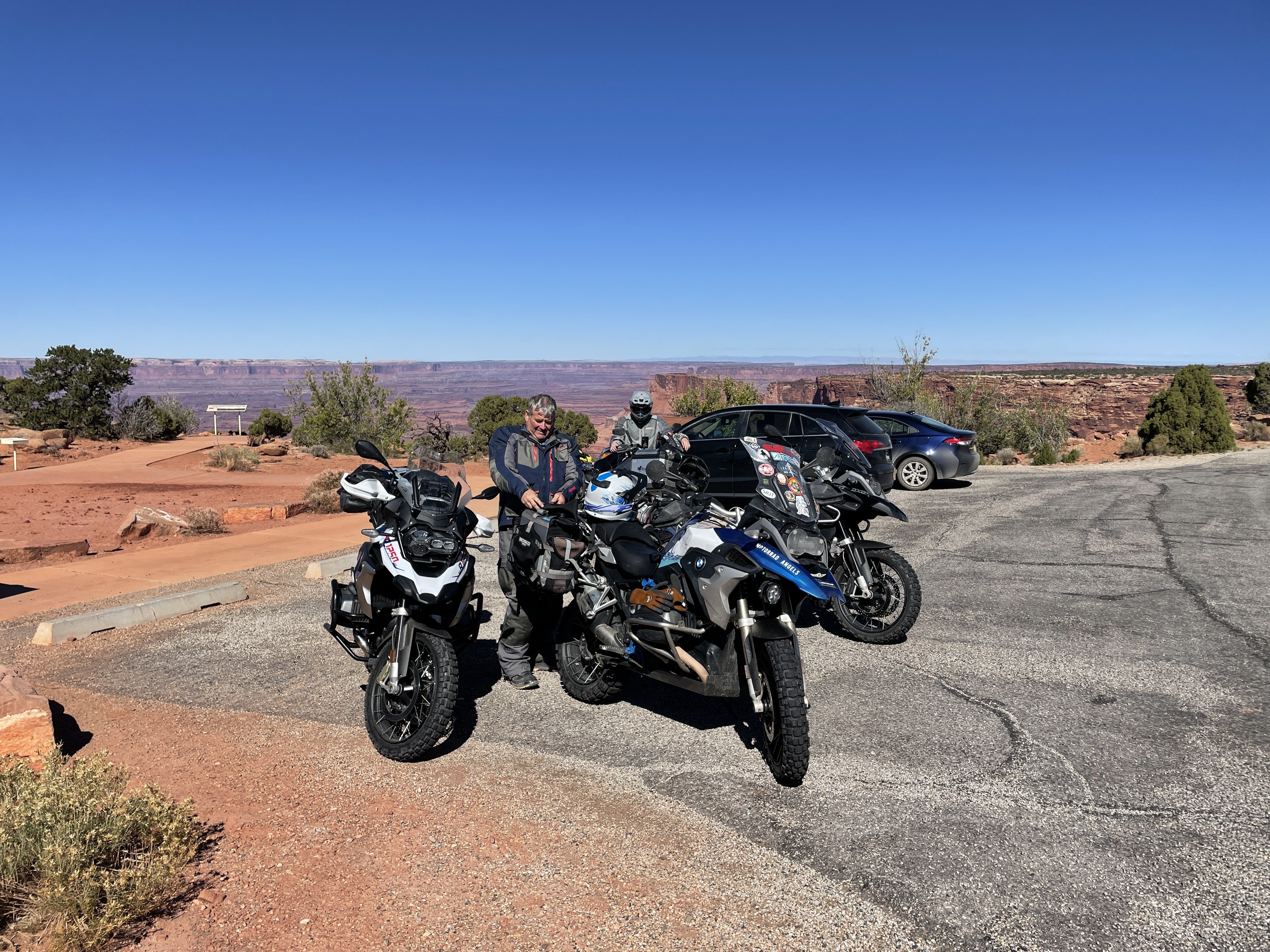
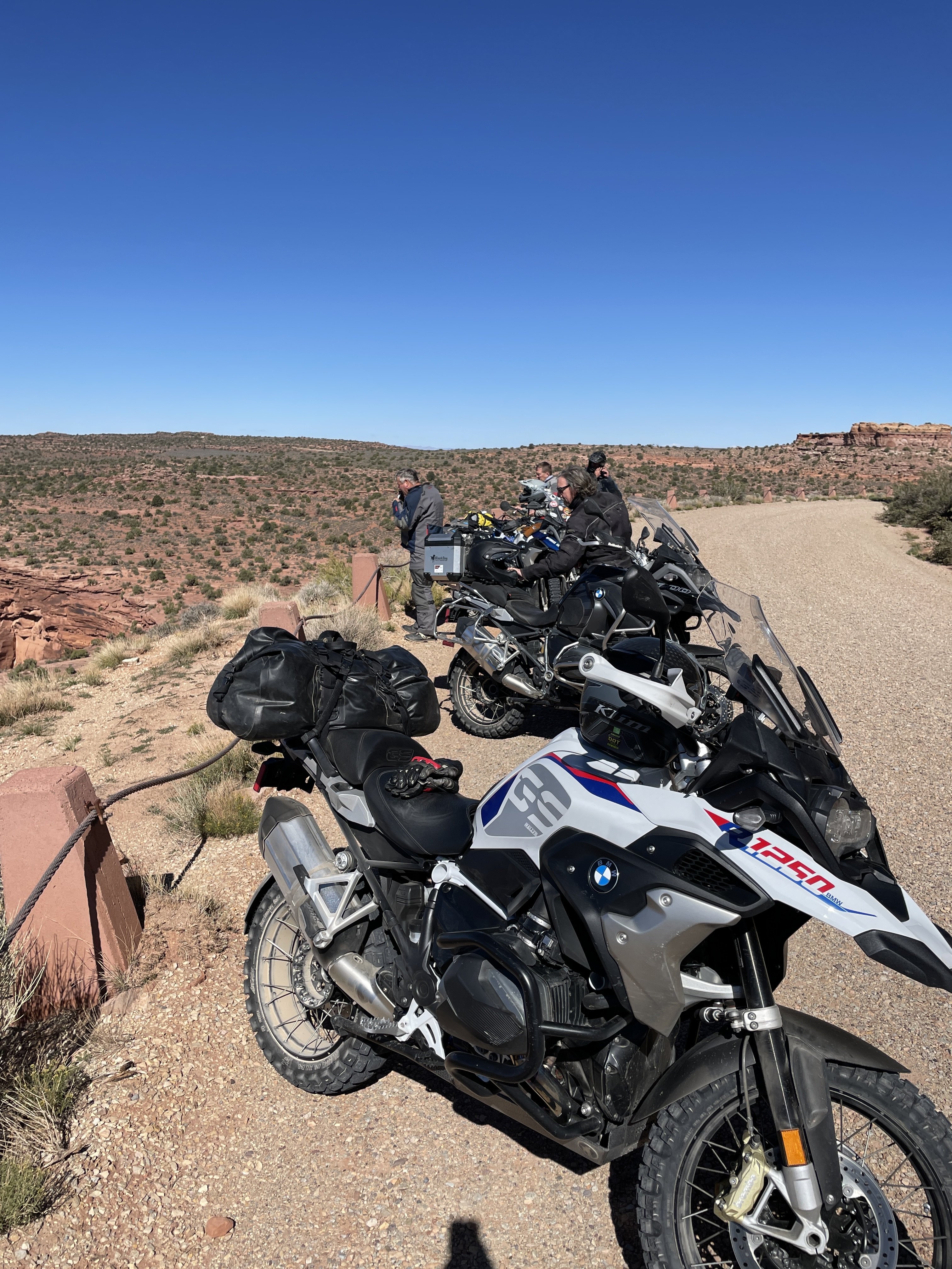
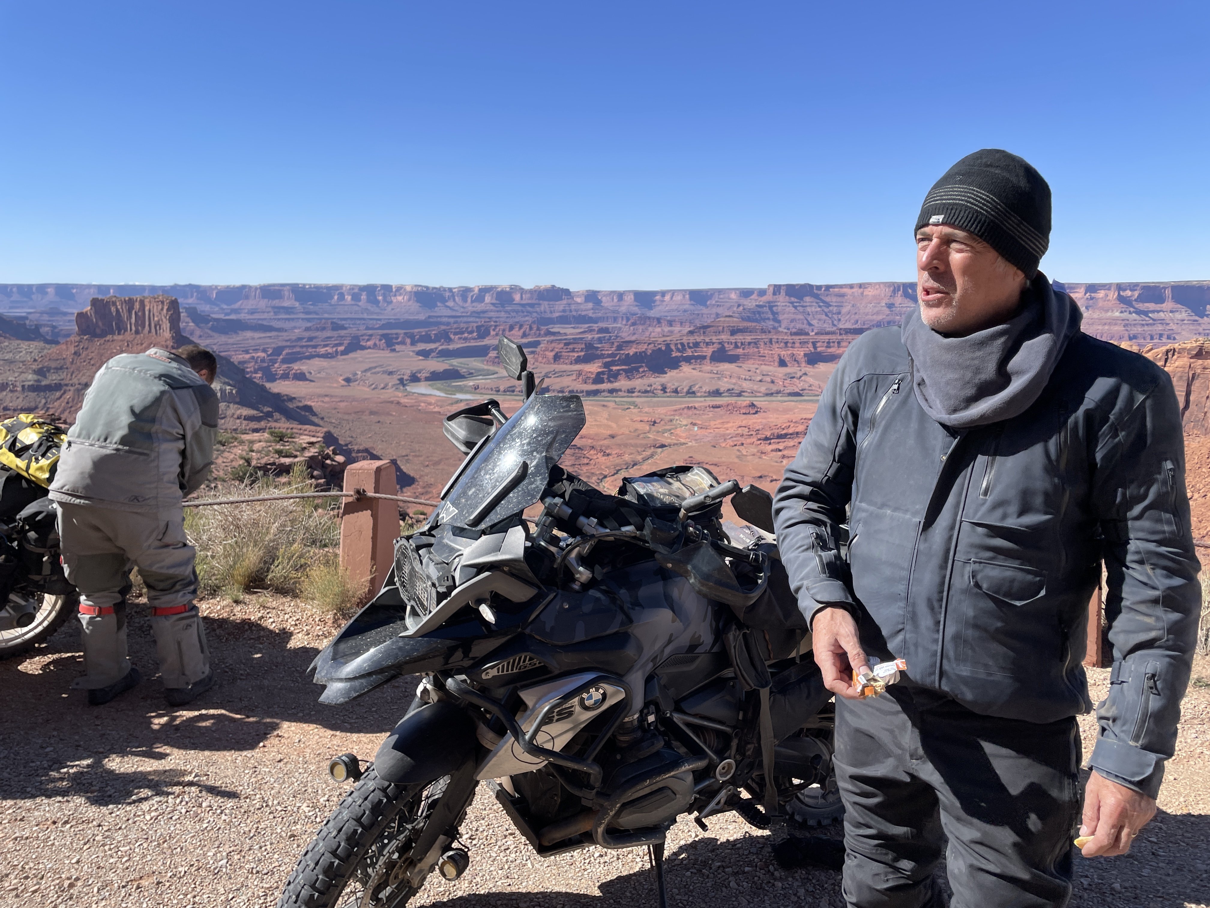
Saturday morning, it was time to hit up some of the larger canyon areas that bring us back each time. Especially since on of the group had never been here before.
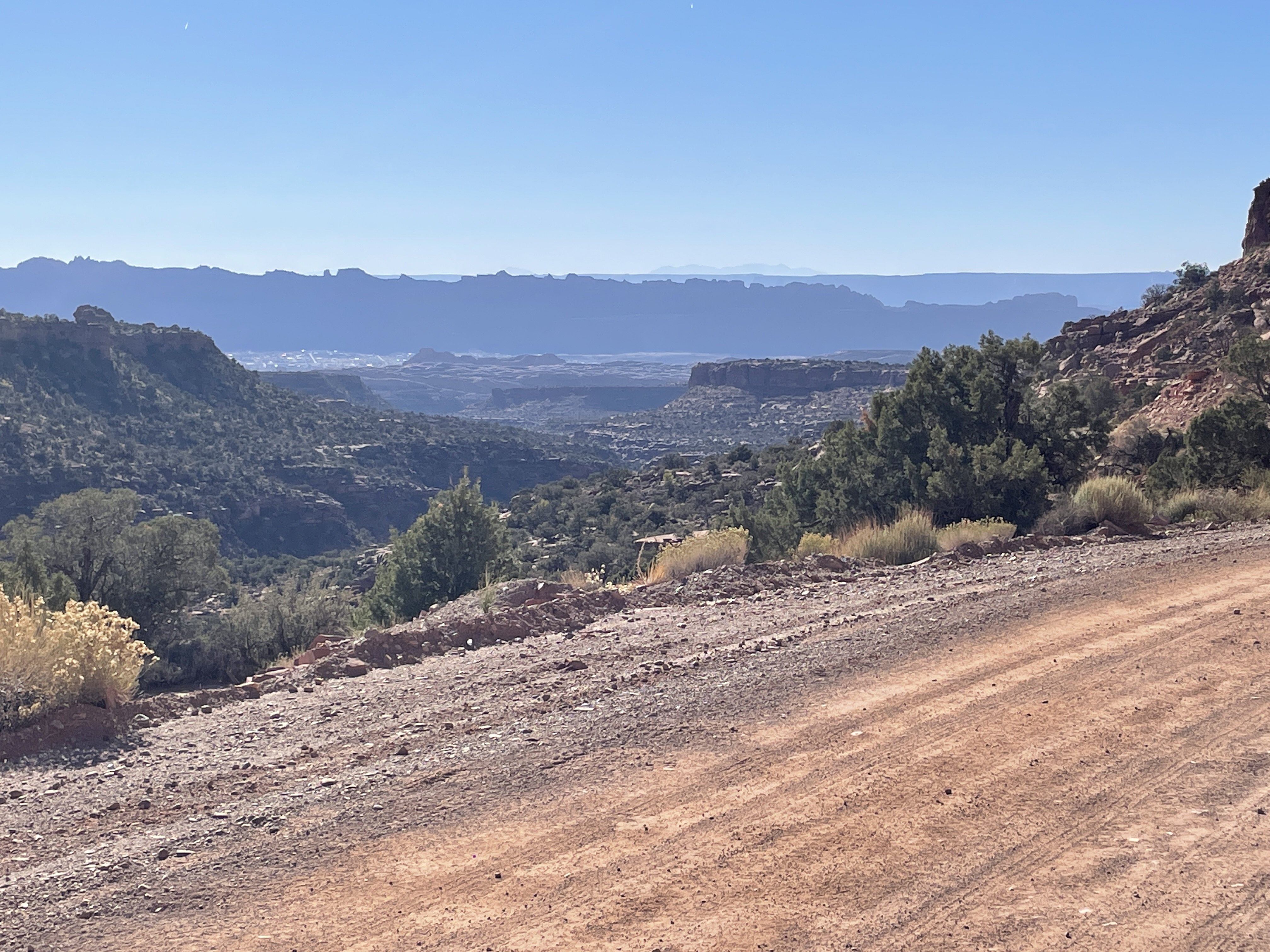
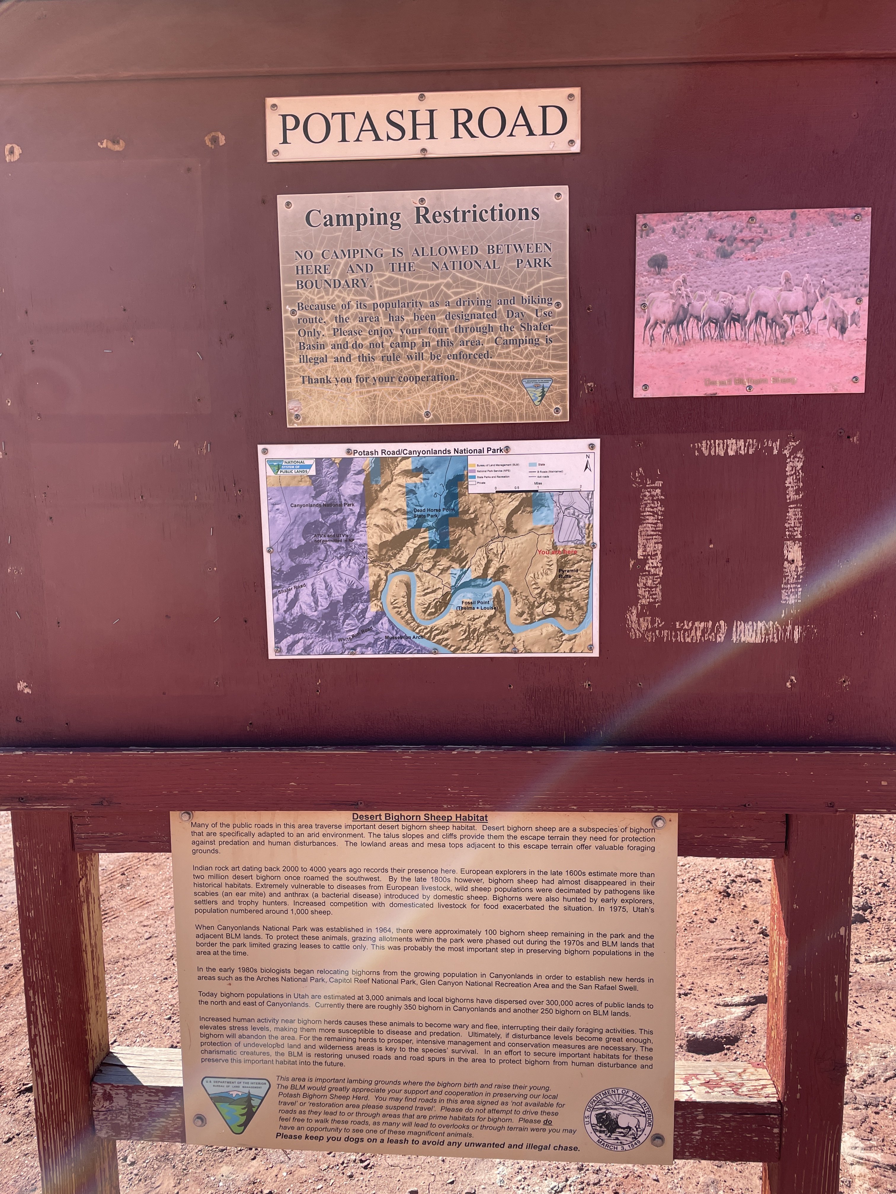
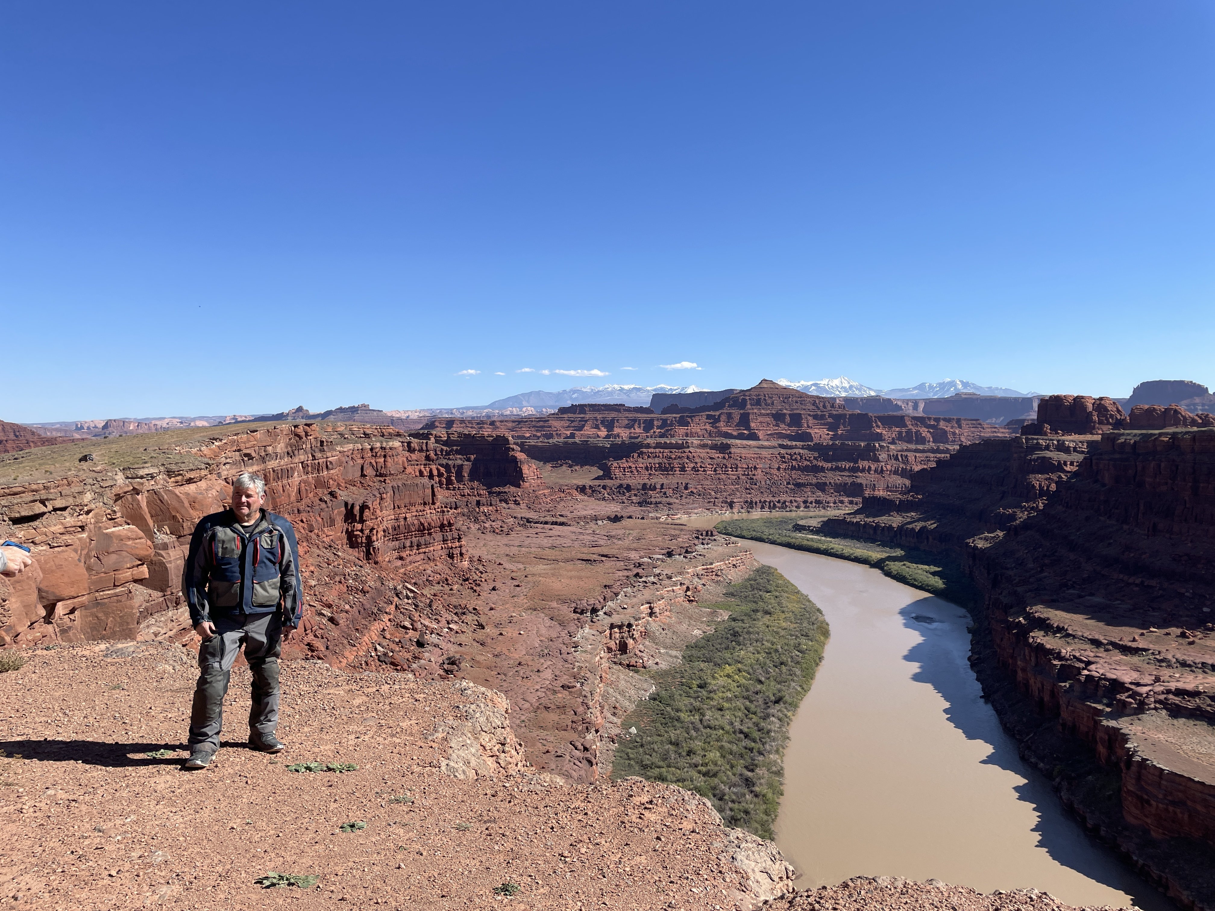
We took off out Potash Road (see the ending of Thelma and Louise, if you want to see the area in question). This road runs along the Colorado River for several miles, before entering Canyonlands Park.
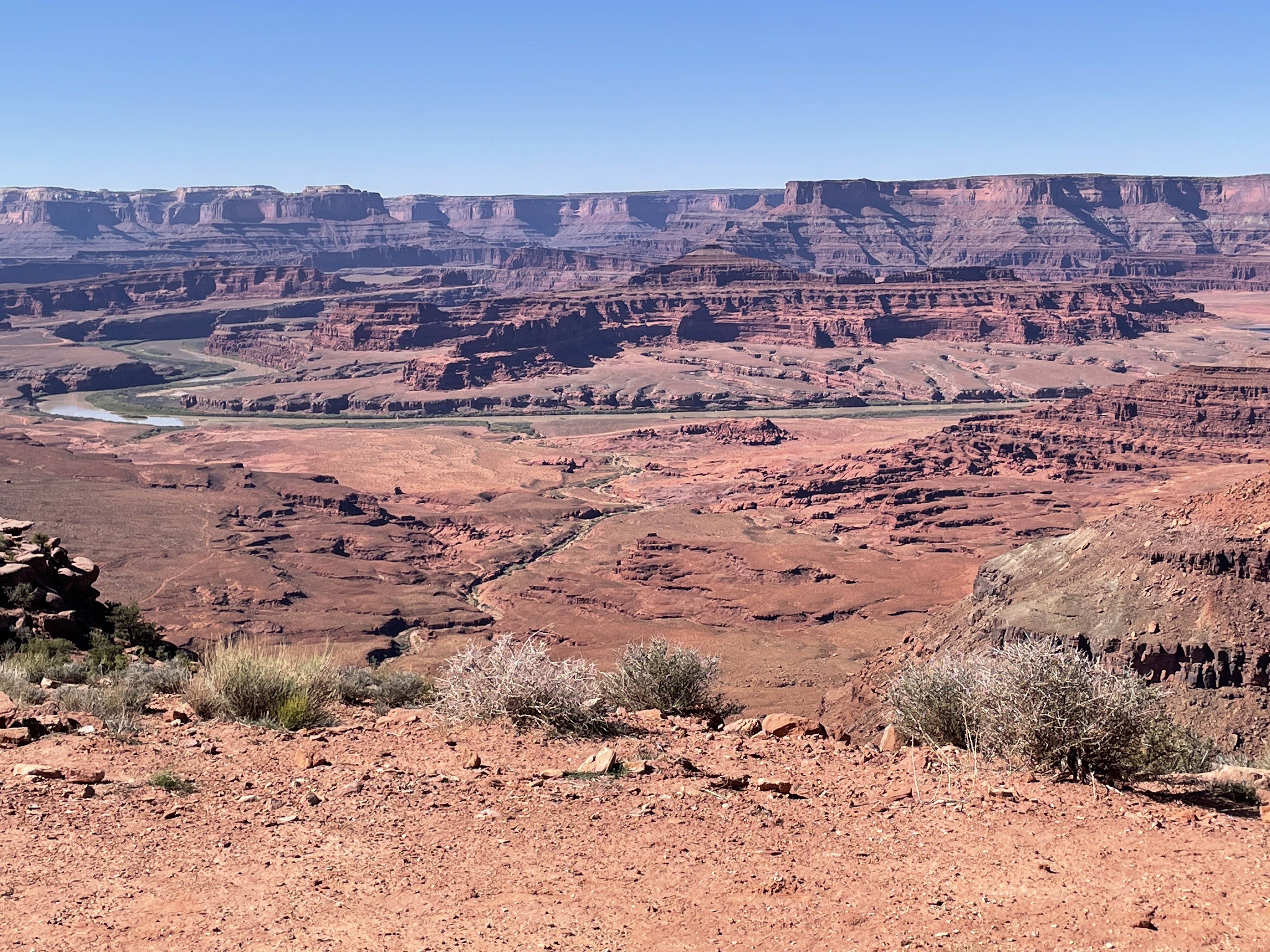
Shot looking out over the Colorado River, from "Thelma and Louise Point".
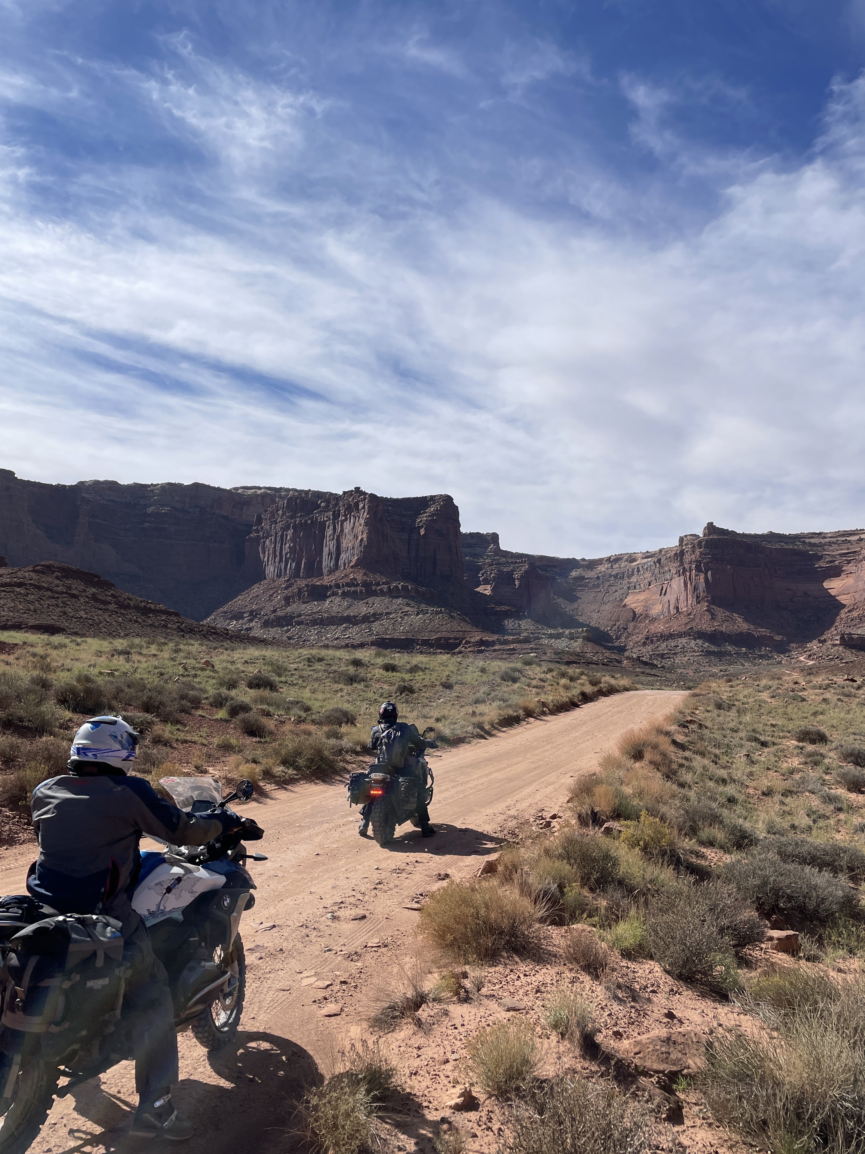
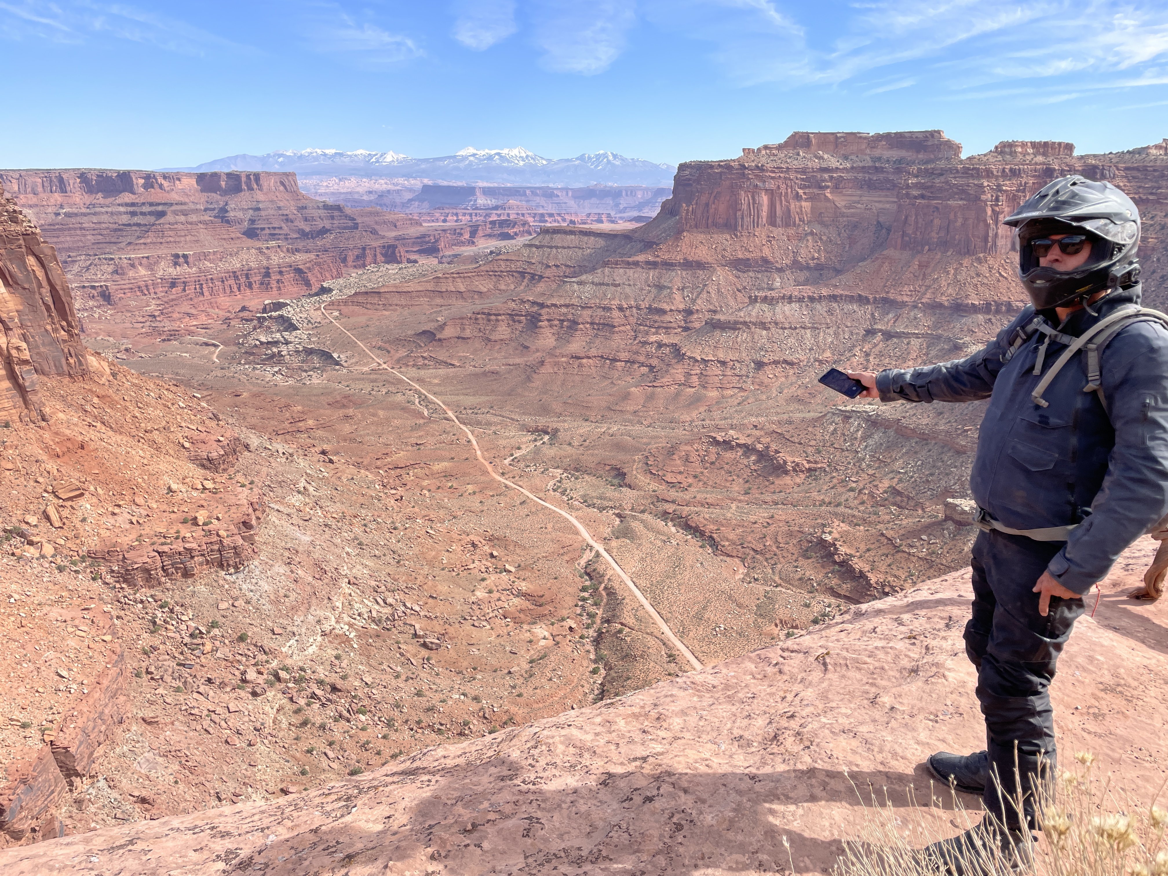
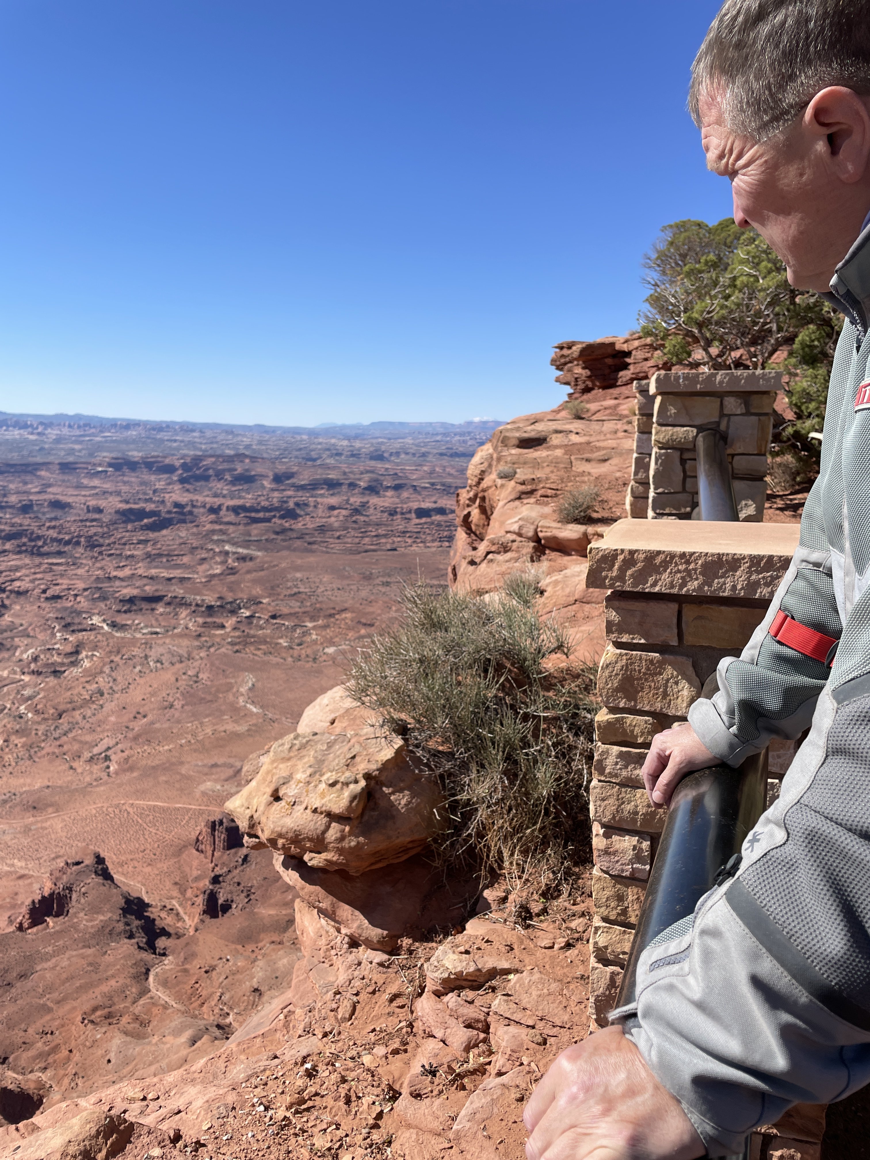
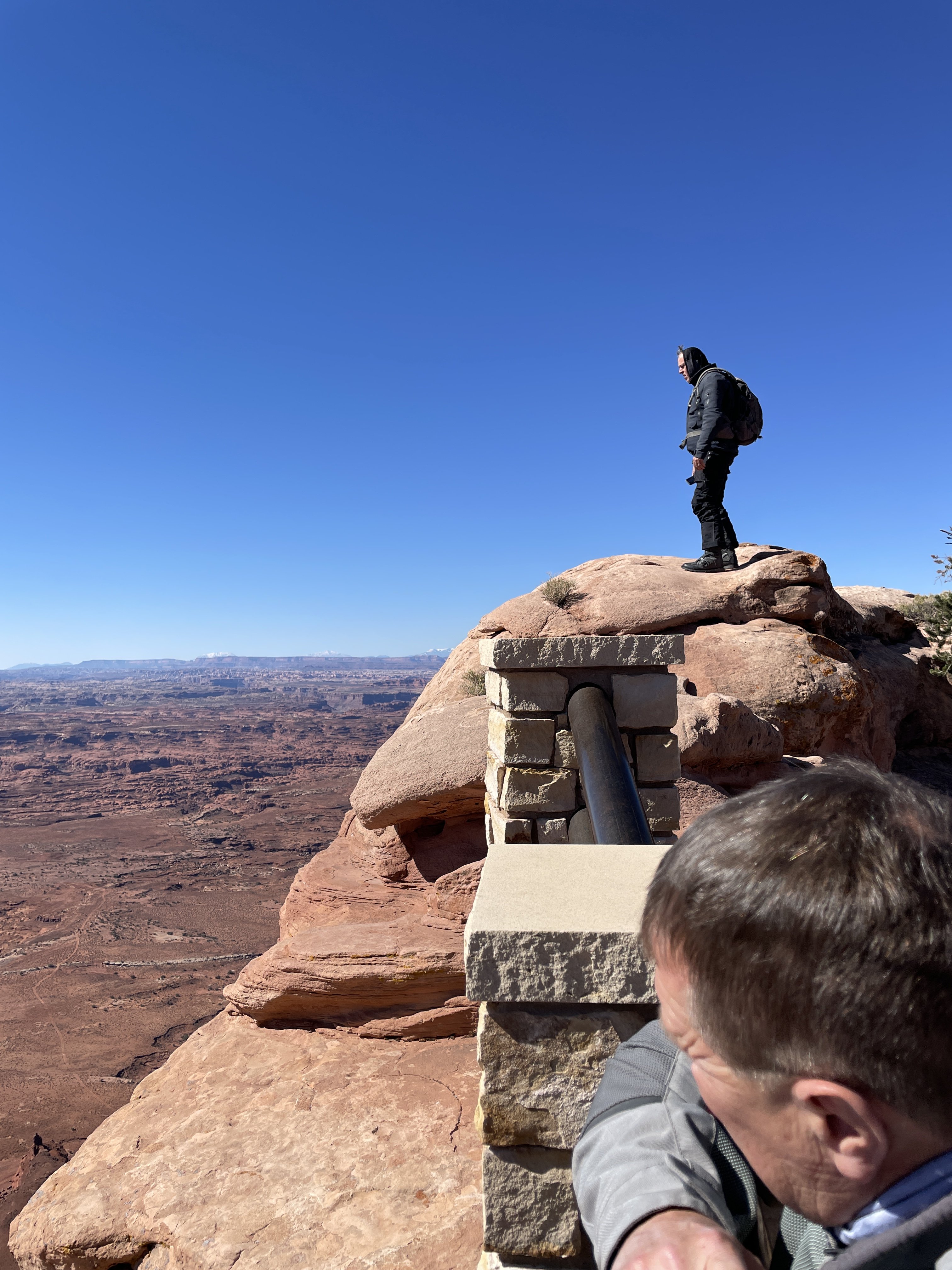
Coming into the park area from this angle, you can end up at the Shafer Switchbacks, which we intended to take up on top of the large mesa in the background of the picture above.
Looking down on the White Rim Trail, from top of Shafer Switchbacks. WRT is over 100 miles of dirt, rock and sand, encircling the mesa we were standing on in the pic above. You exit that valley on another switchback about 20 miles west of this point.
-
 3
3
-
 1
1
-
-
1 hour ago, XTreme said:
We needed something to give the impression that we're not a bunch of useless wankers Rick!
Oh, you still are. But, somehow you've attracted a real traveler

-
 4
4
-
-
Oh, damn!! this will be a good one!!
-
2
-
-
6 minutes ago, XTreme said:
What's the 4D version exactly Sofia?
aging by the minute!
-
2
-
1
-
-
13 minutes ago, XTreme said:
Work and life has always got in the way Rick......and I don't see that changing anytime soon!

Hopefully, someday then.

-
1
-
-
5 minutes ago, XTreme said:
But in Colorado it's Rocky Mountain high!

Green Cross stores on every block!
(p.s, California went that way, too)
-
1
-
-
4 minutes ago, XTreme said:
Cheers Rick......I've been saying I wanted to visit the States for 50 years!
Haven't made it very far!
I seem to recall them having these big metal things with wings
 (Spending a week out west with us should convince you to try harder. There is a great group of riders i associate with that would let you couch surf and uber bike the whole trip! So, all you need is airfare and some gas money)
-
3
-
-
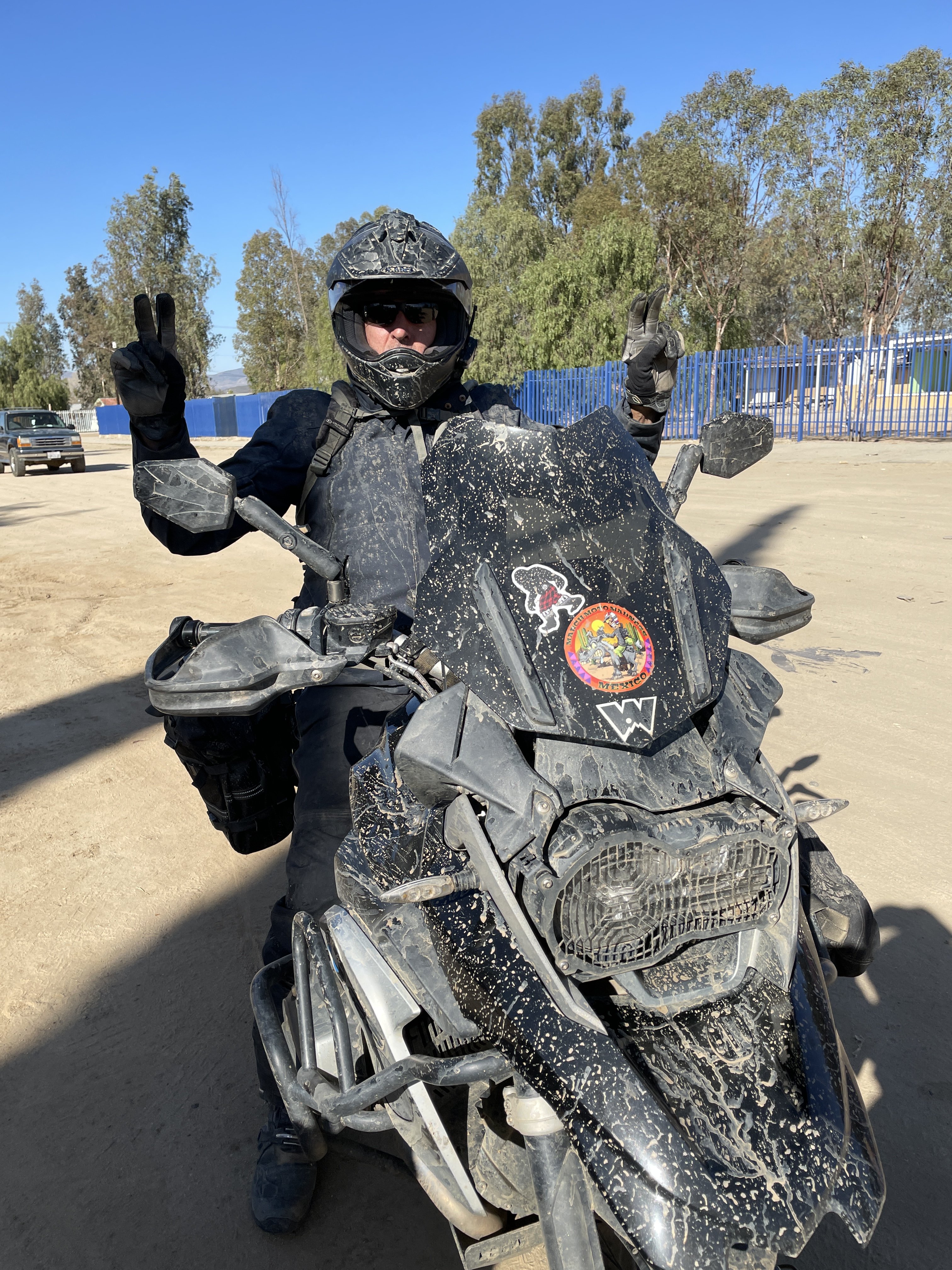
we do love to get dirty...........

-
9
-
-
17 hours ago, Cupid Stunt said:
....now we know eh
we hand em out to KLR riders cause they cant figure out Tinder
-
5
-
-
On 08/11/2021 at 04:26, gymwitch said:
Teignmouth and Torquay so far. Wish i had brought my swimmers now... that water was stunning !!
Nice looking bikes!!
-
1
-
-
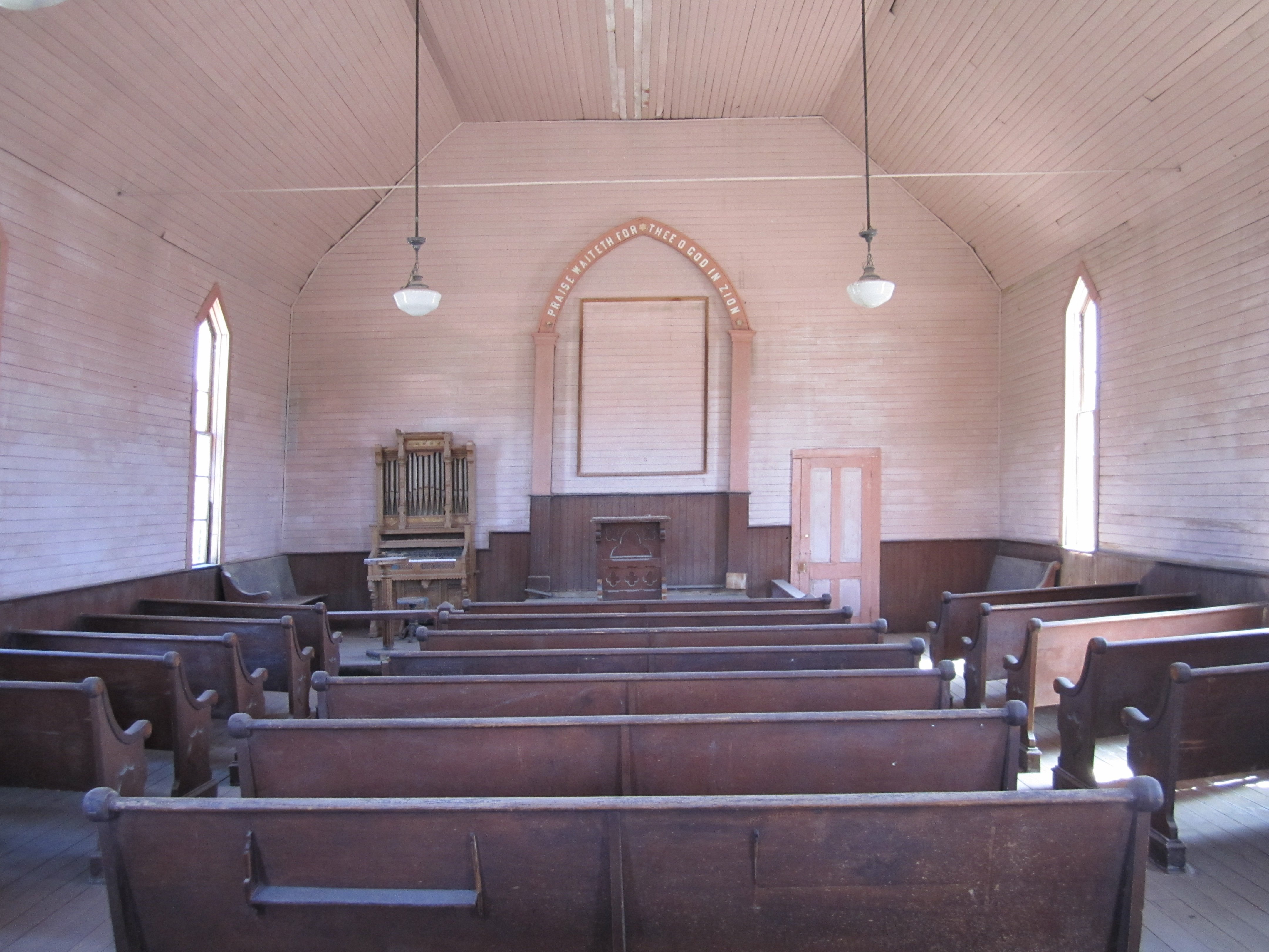
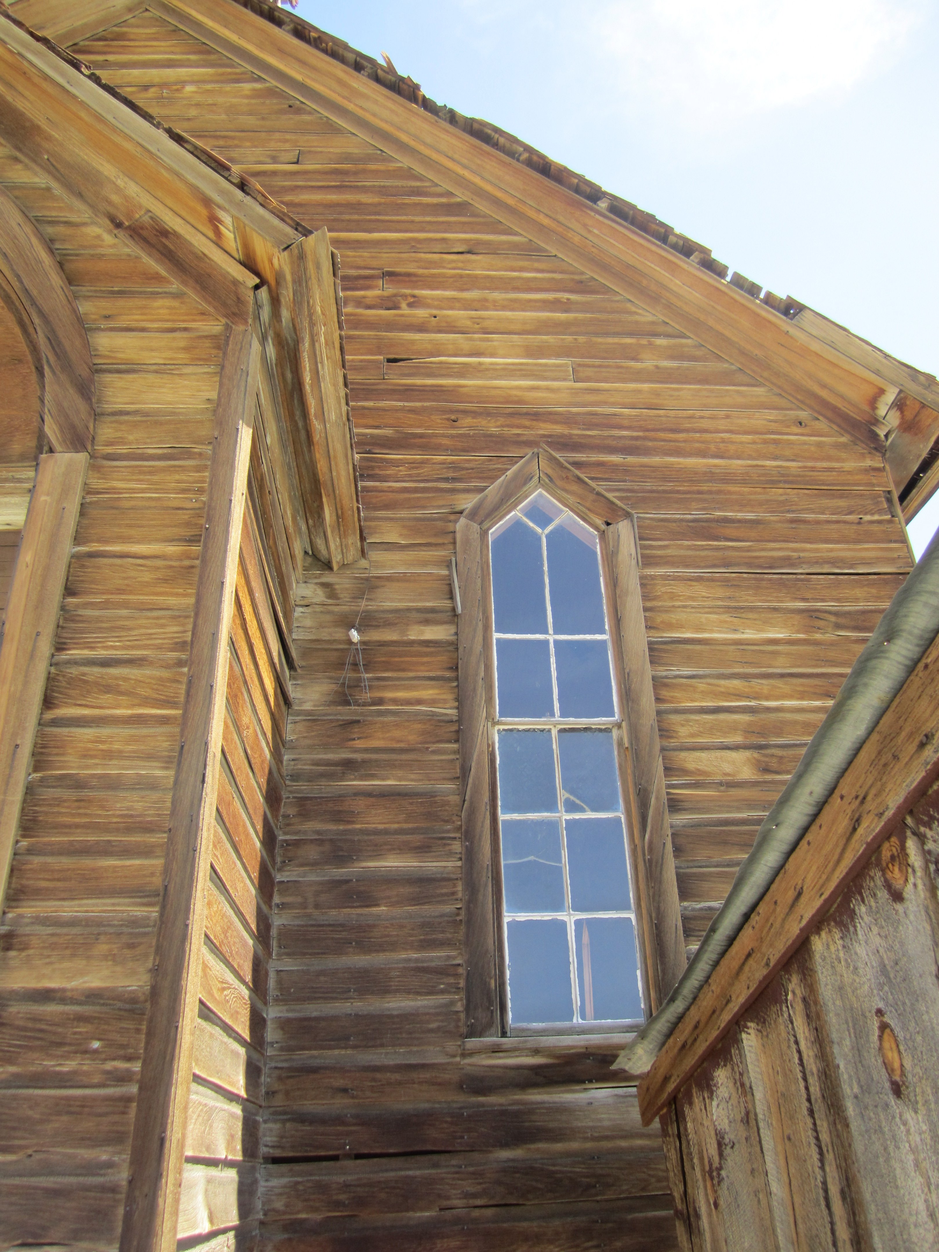
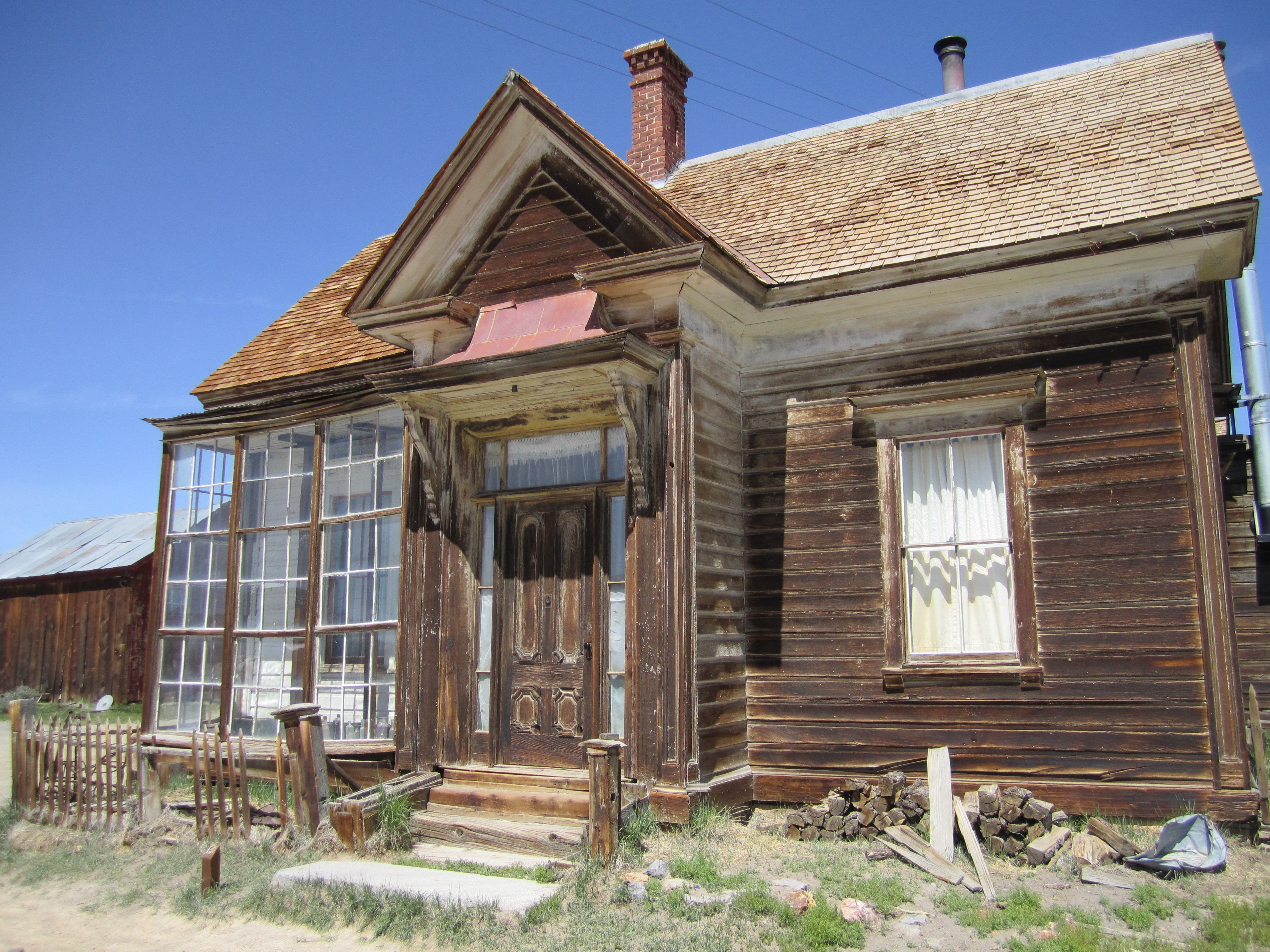
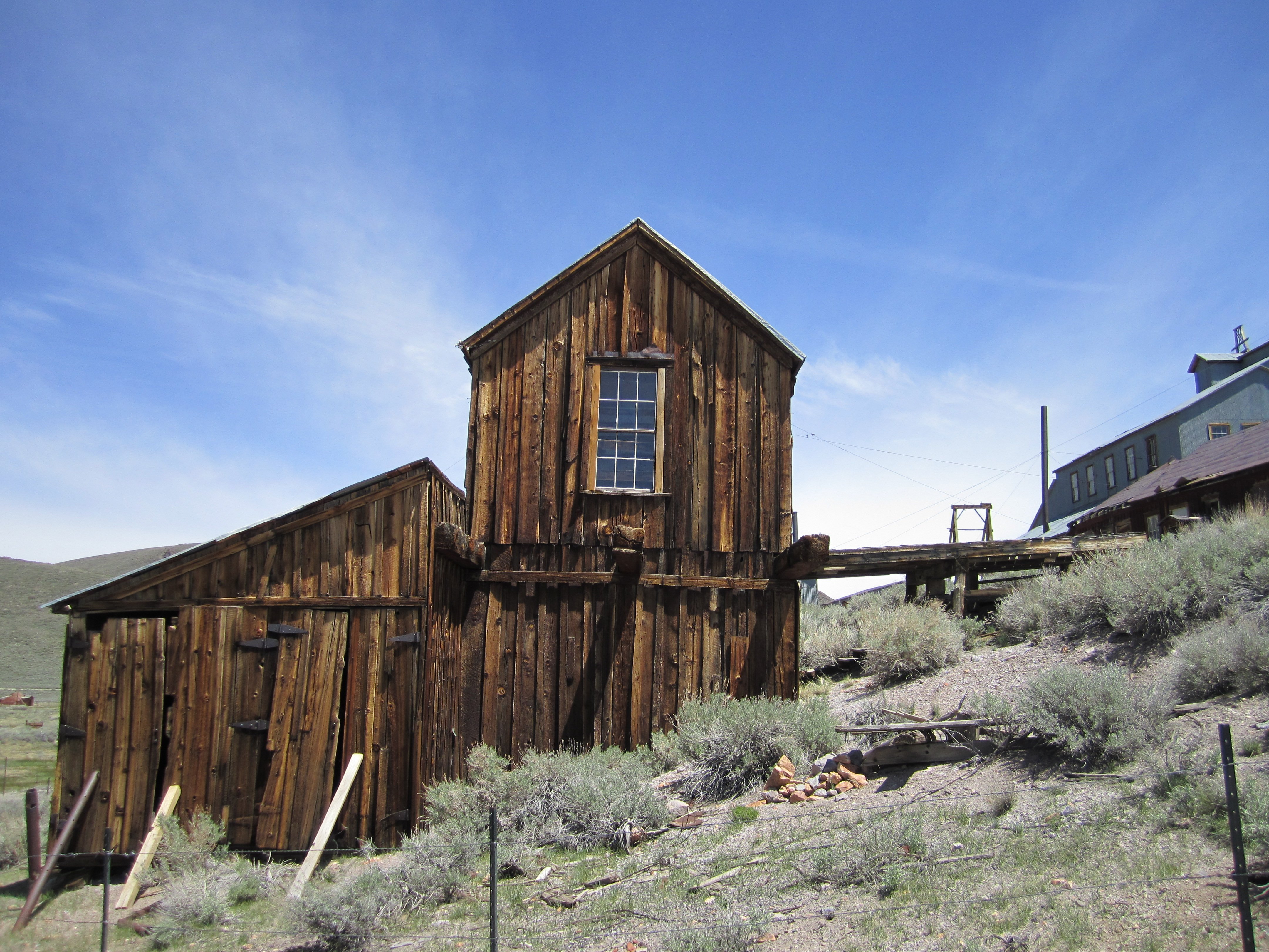
Really like your abandon villages/buildings posts! Here and on FB. You would have a blast at Bodie, California. A whole mining town that was walked away from, but now has some park rangers living there.
Pop over sometime and we will take you there! (open invite to all you furriners)
-
6
-
-
9 hours ago, Slowlycatchymonkey said:
Great photos n enjoyable write up. Cheers.
So why are the liquor stores far n few between in Utah? Is Utah what UT means?Utah has strict liquor sales laws. Not sure if that is due to the heavy! concentration of Mormons, or just the state's choice. They have specially licensed stores that sell the stronger stuff.
Yes, UT means Utah. Sorry about the amuricanisms.
-
2
-
-
On 29/10/2021 at 01:51, boboneleg said:
That 3 Step place looks bloody great. The guys on the DR650 thread (on ADV) had a meet there a few years back

The owner mentioned that! I believe he also owns one. We really enjoy places like that more than motels, hotels. (well, i do, at least. we do have some prima donnas in the gang)
-
2
-
-
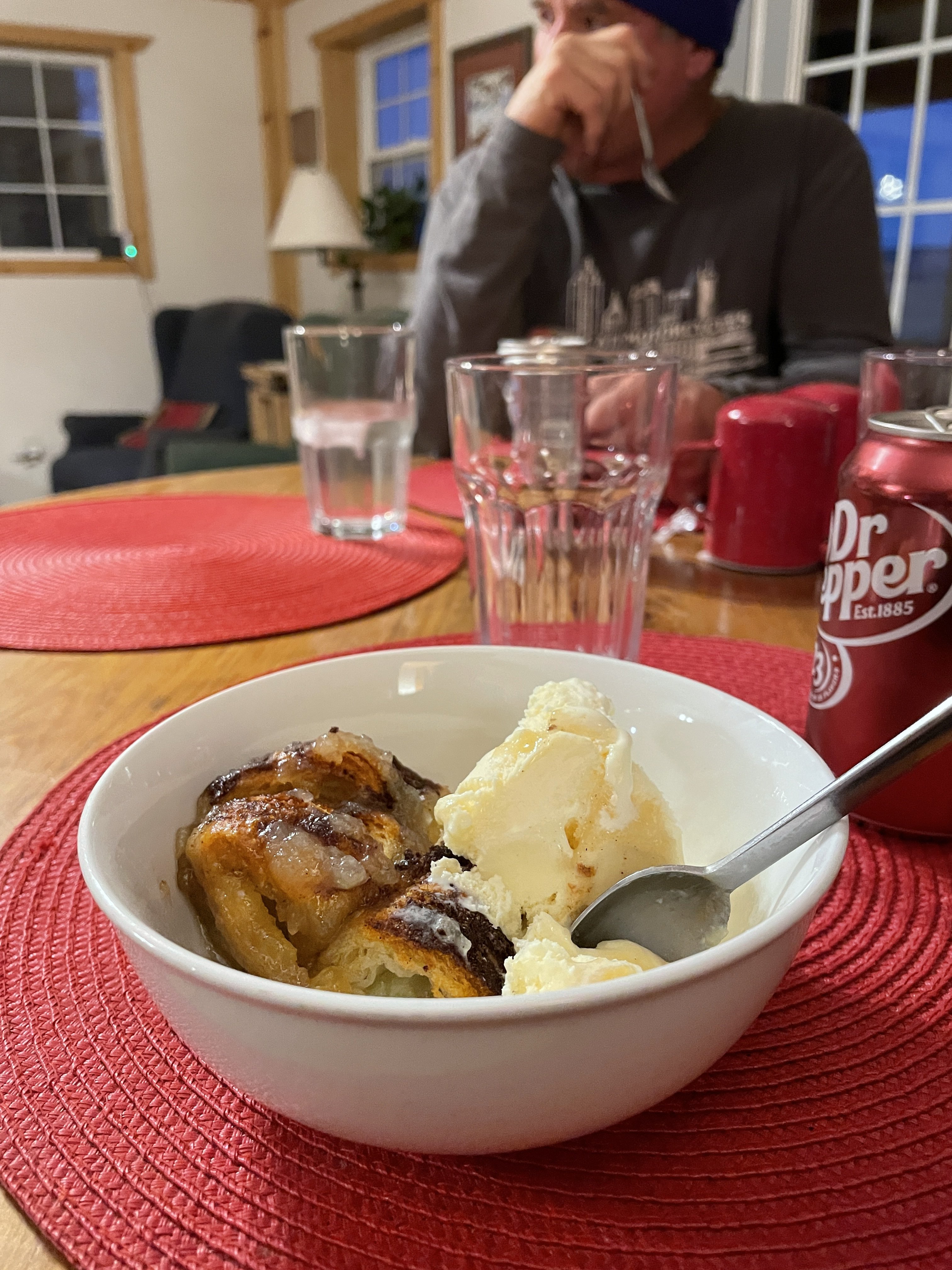
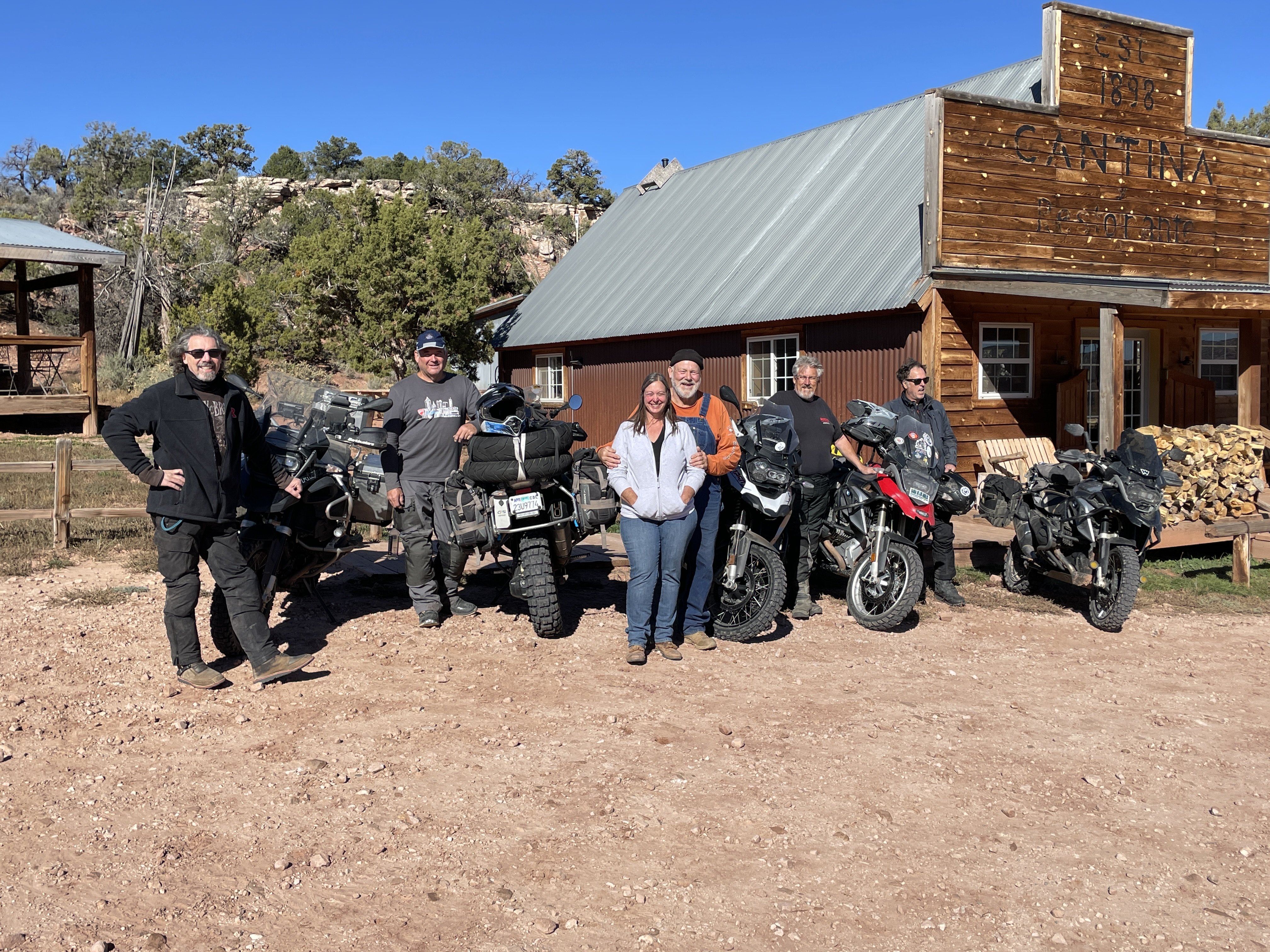
Birthday dessert for lil ol me, once we got back to 3Step.
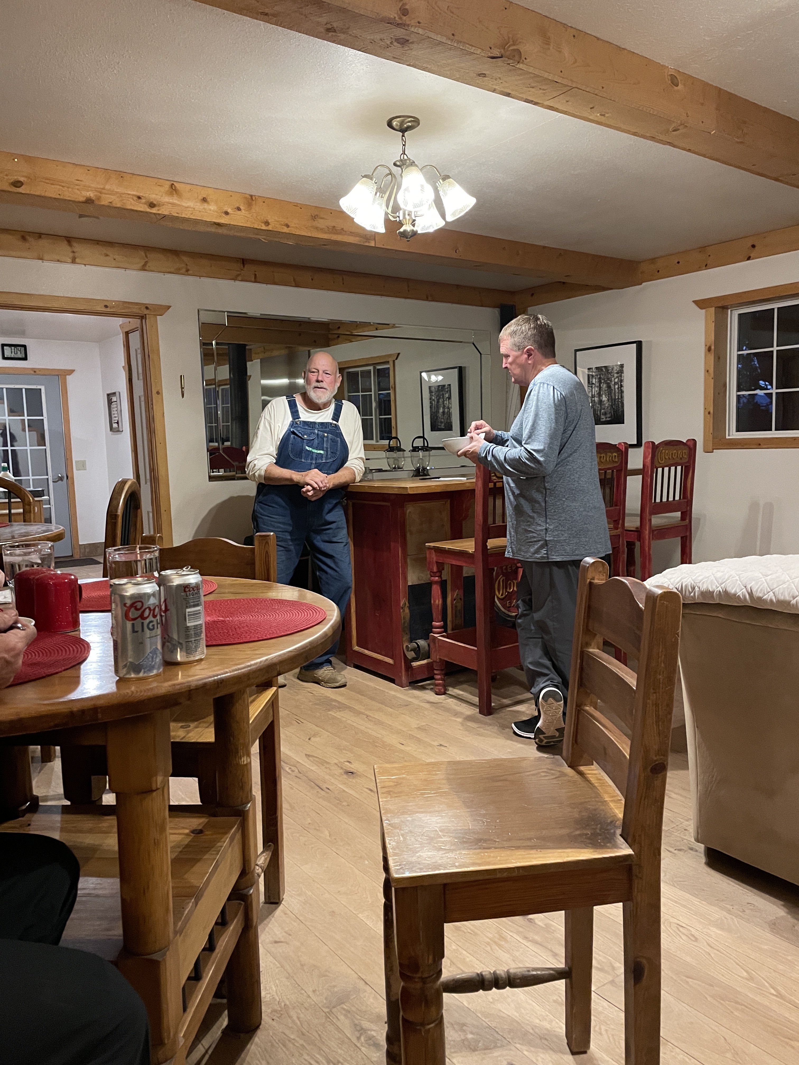
Our host is on the left.
Chilly Saturday morning, as we pack up to head to Moab.
Saying goodby to the "inn keeper"!
-
5
-
-
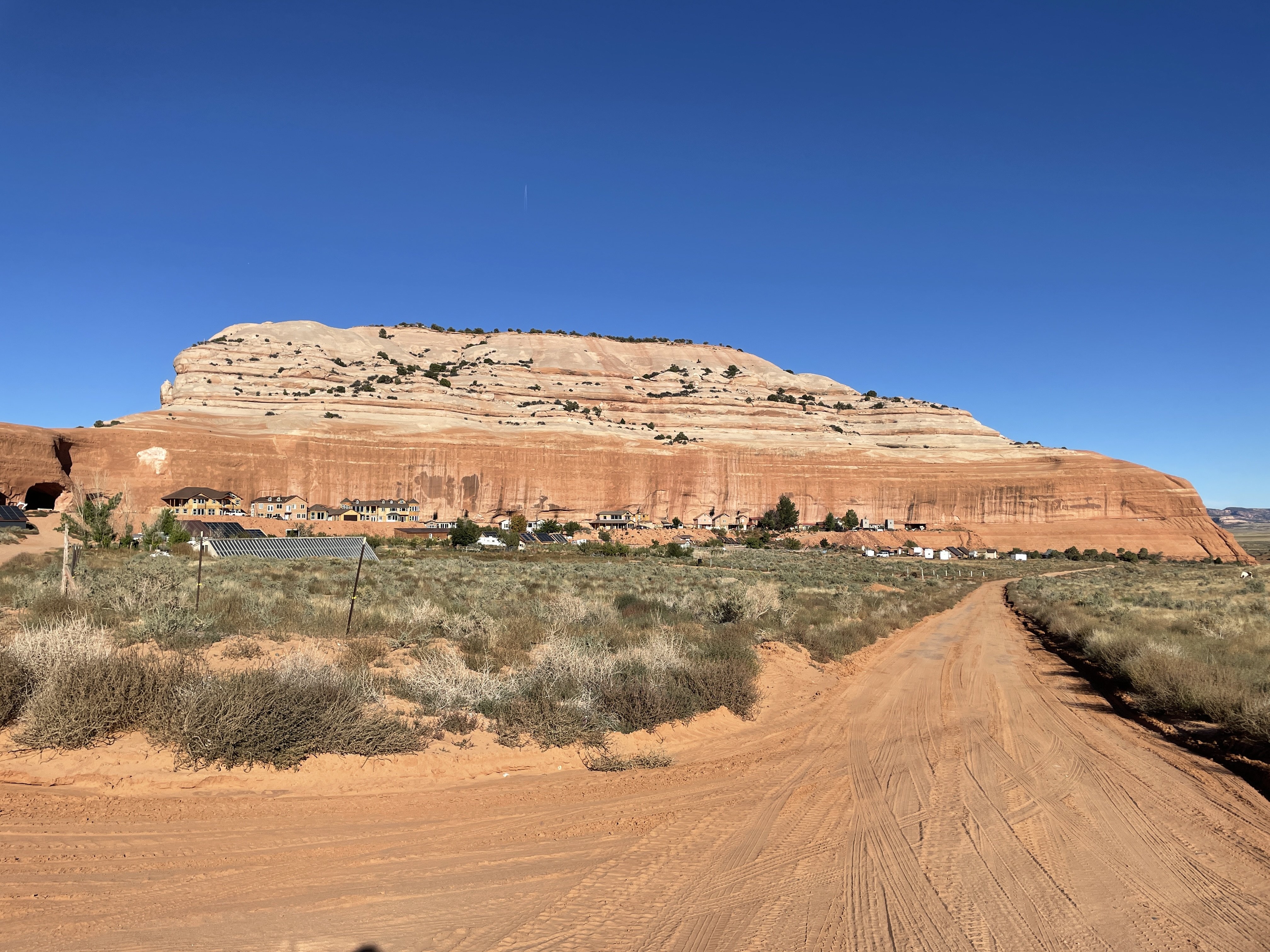
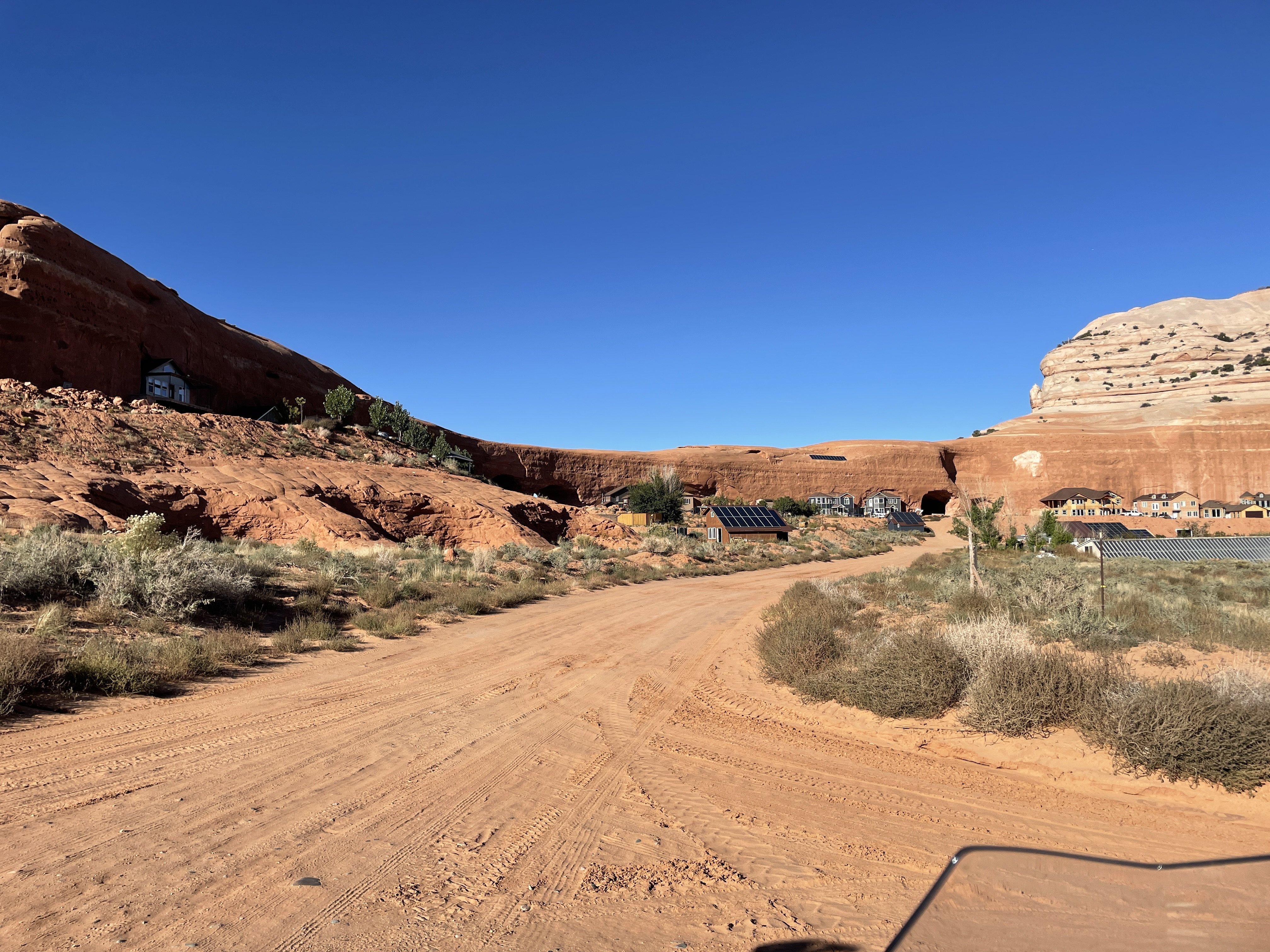
On the way out, earlier that morning, one of our guys had seen some houses "against the rock" he said. Our return route took us right by the rock he saw. What we found there was a polygamist sect of Mormons, who had built their houses on the inside of this semicircular rock formation. The houses cant be seen from the main highway, giving them some privacy.
We found out later, after asking around, that the houses are actually built into the rock, with tunnels connecting the sister wives
-
5
-
-
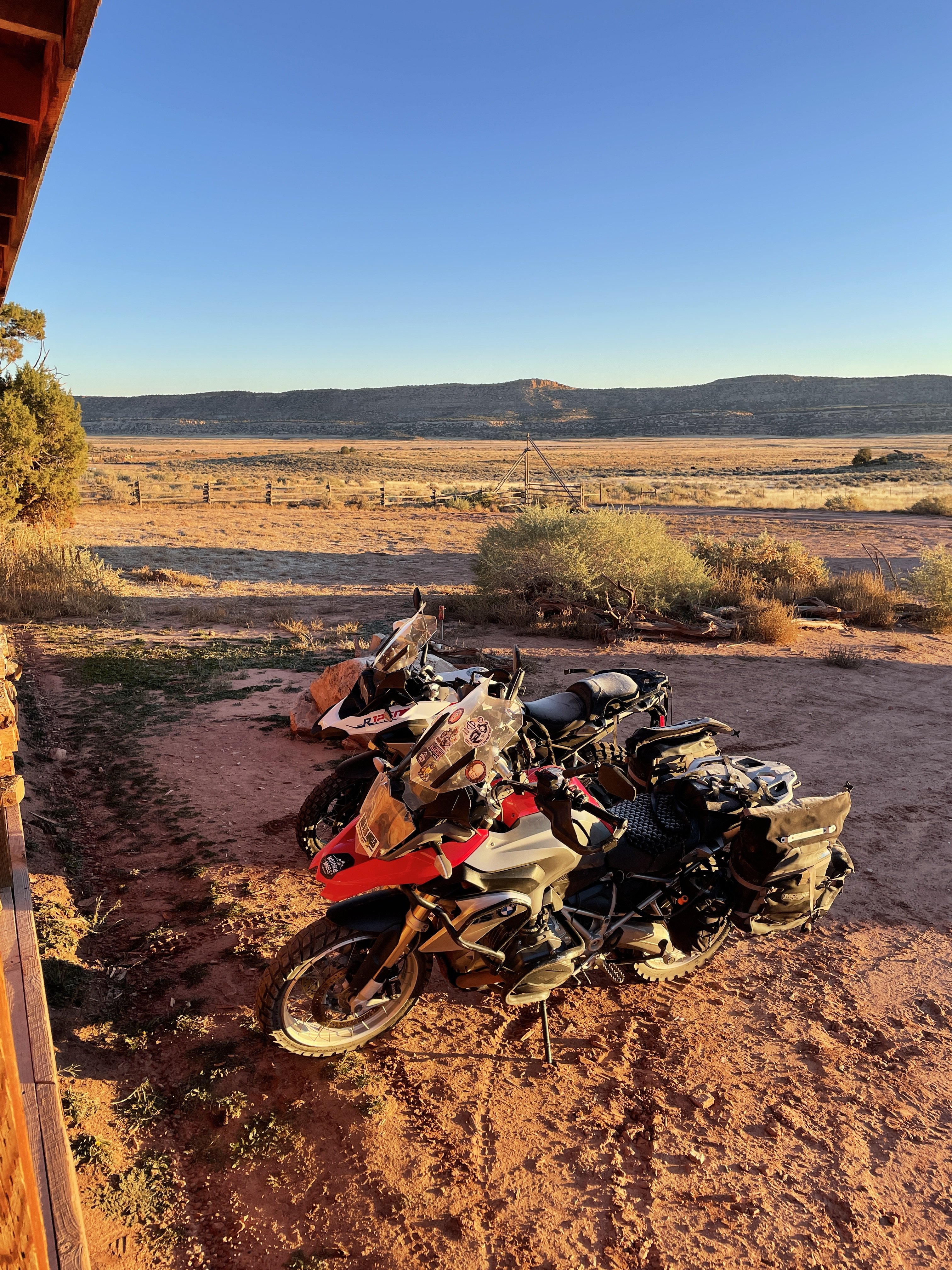
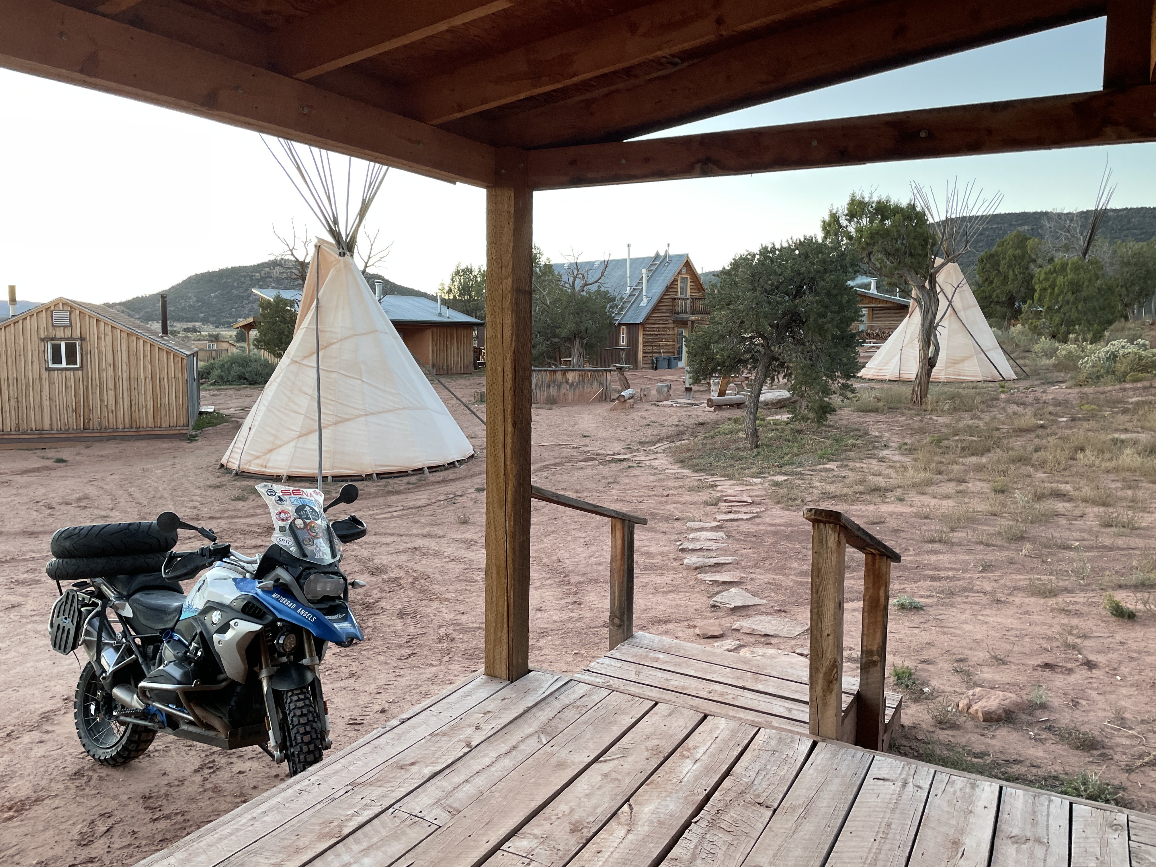
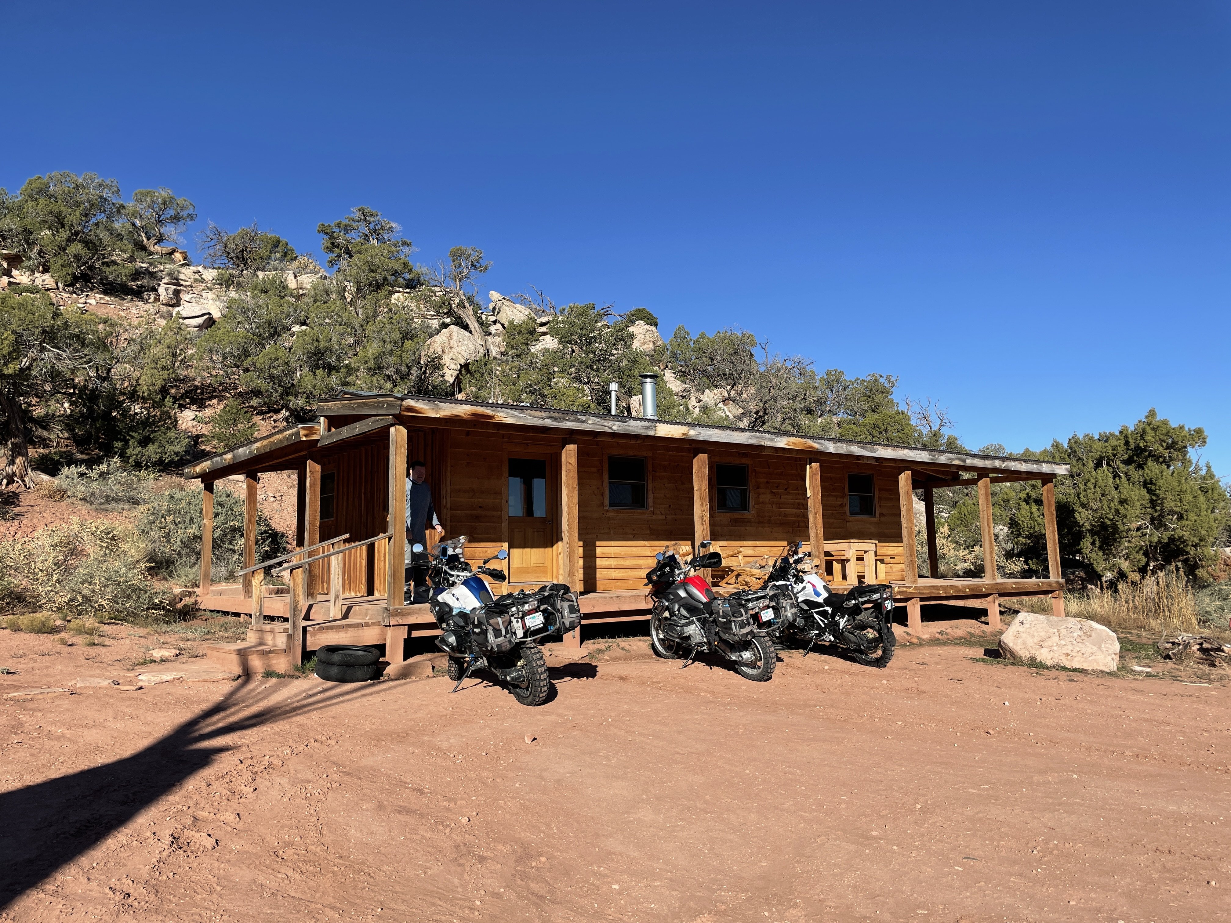
3Step turns out to be a great little offroad BNB, with cabins and teepees and even room for camping. Breakfast included and dinner, if you want to pay extra. The food was really good and the owner's great people. Probably because they ride motorcycles. in dirt!.
If you go, get the cabin above. Indoor plumbing and propane heater. Even has a kitchen!
Below is the main house. Meals served, conversations had. And, yes. That truly is the bath house if you are not in the family cabin above.
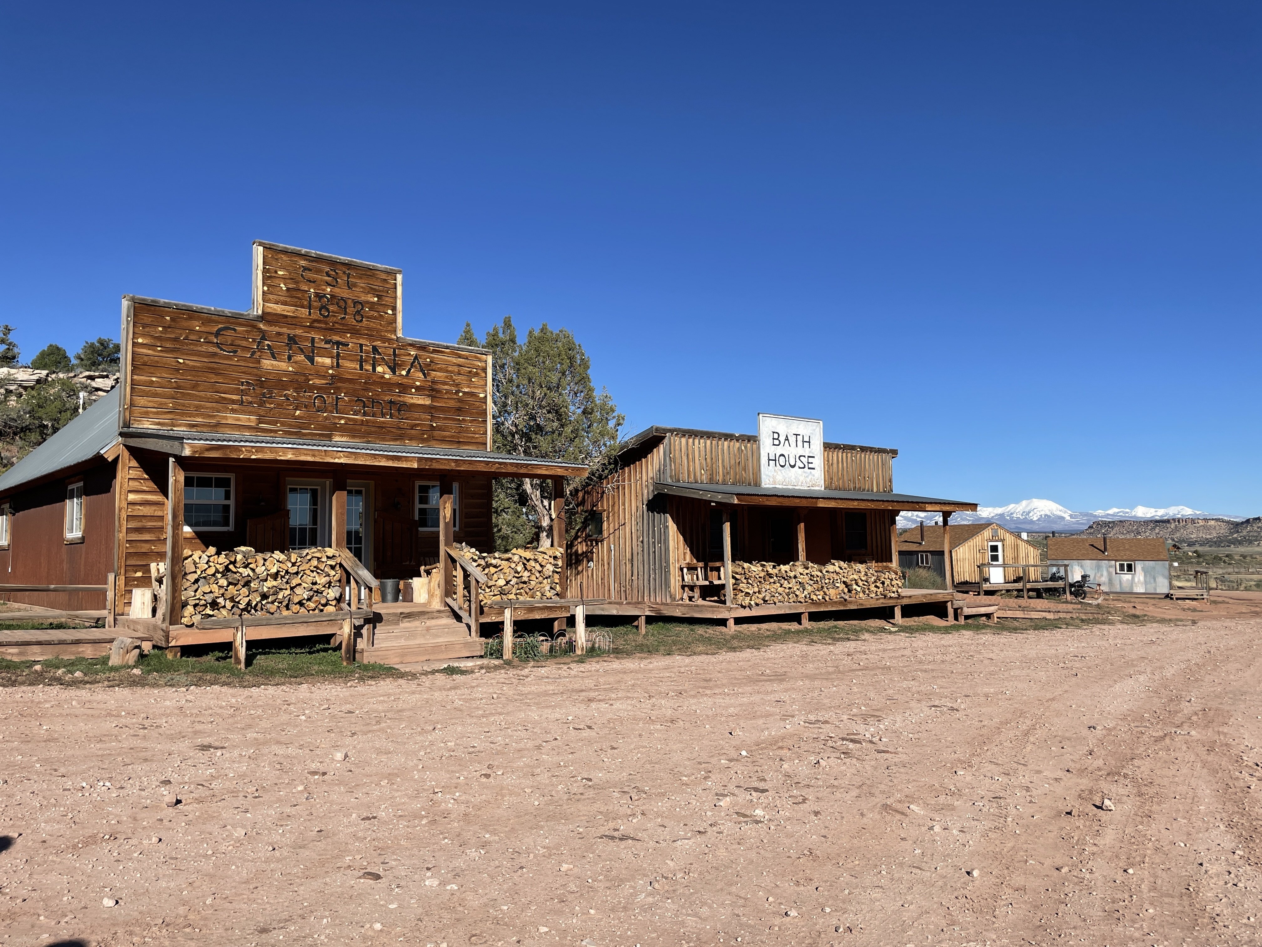
Just a heads up, this being Utah and all. Liquor stores are few and far between. So, if you need something stronger than beer, you will have to bring it in yourself.
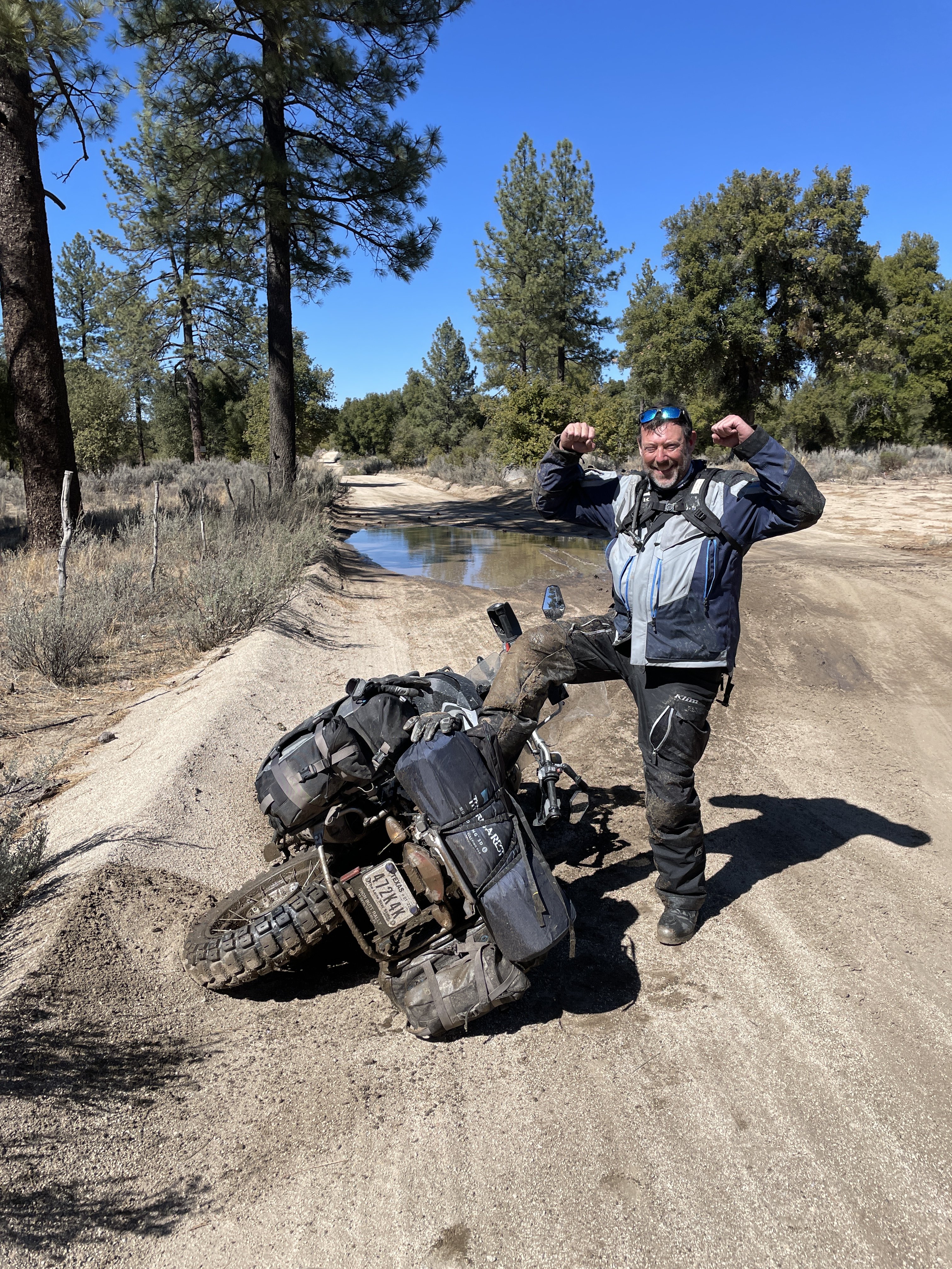
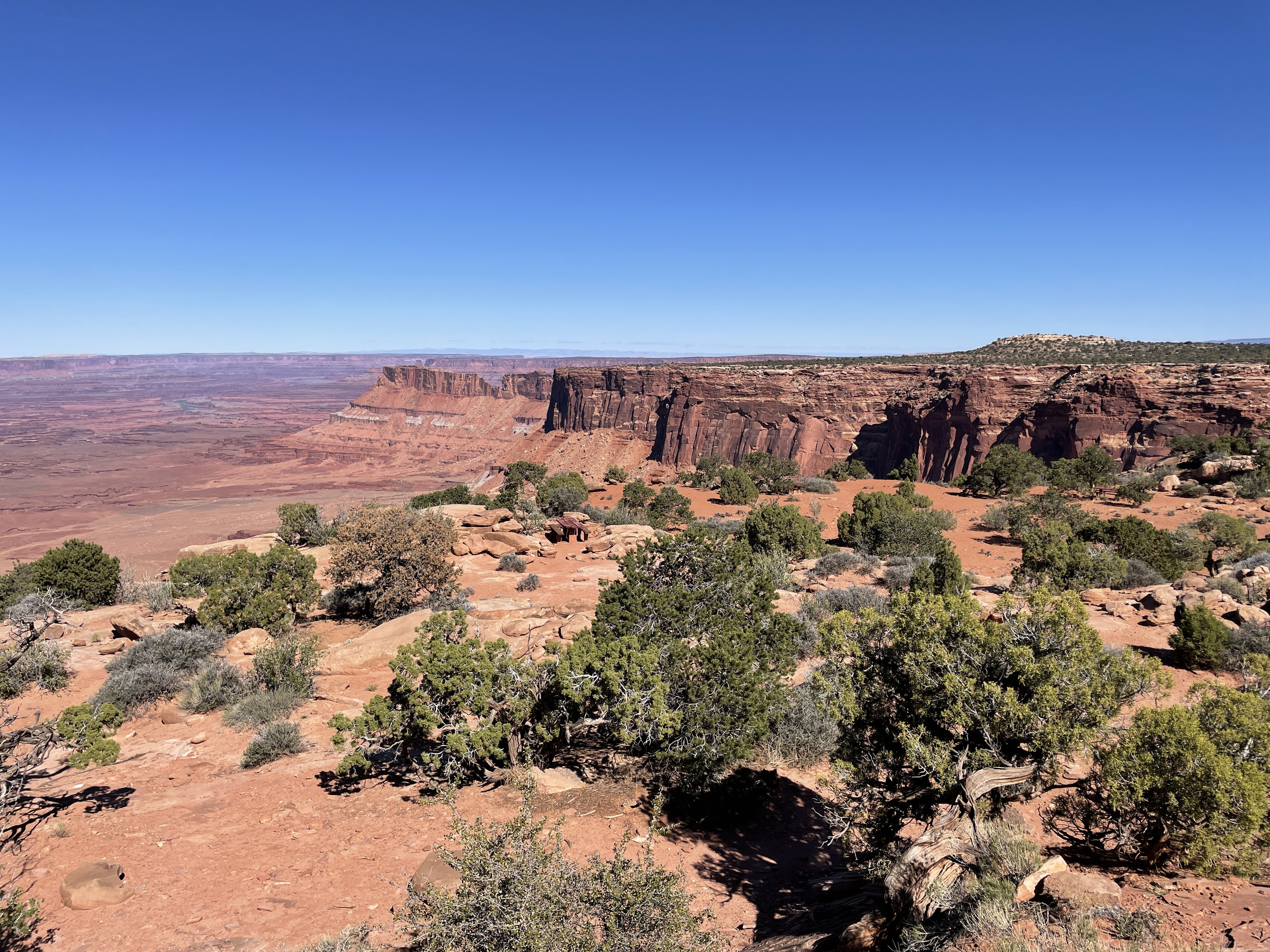
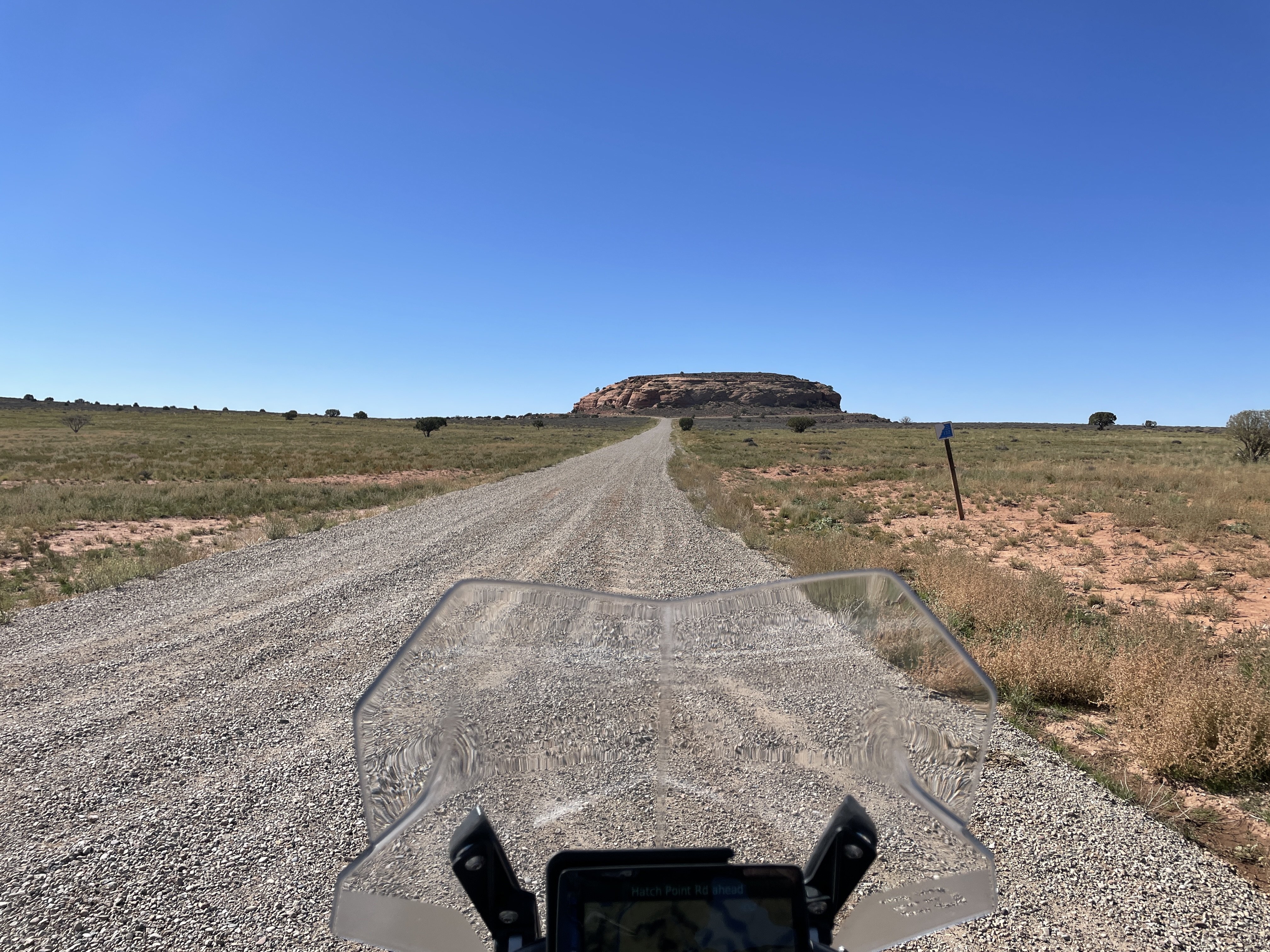
Friday morning, we got up and waited for temps to warm up by reviewing the various trail maps available at 3Step. We found an easy route out to Canyonlands and took off. About half the easy route was paved, but we got to do some fun, easy, hard and muddy dirt roads mixed in with the incredible views.
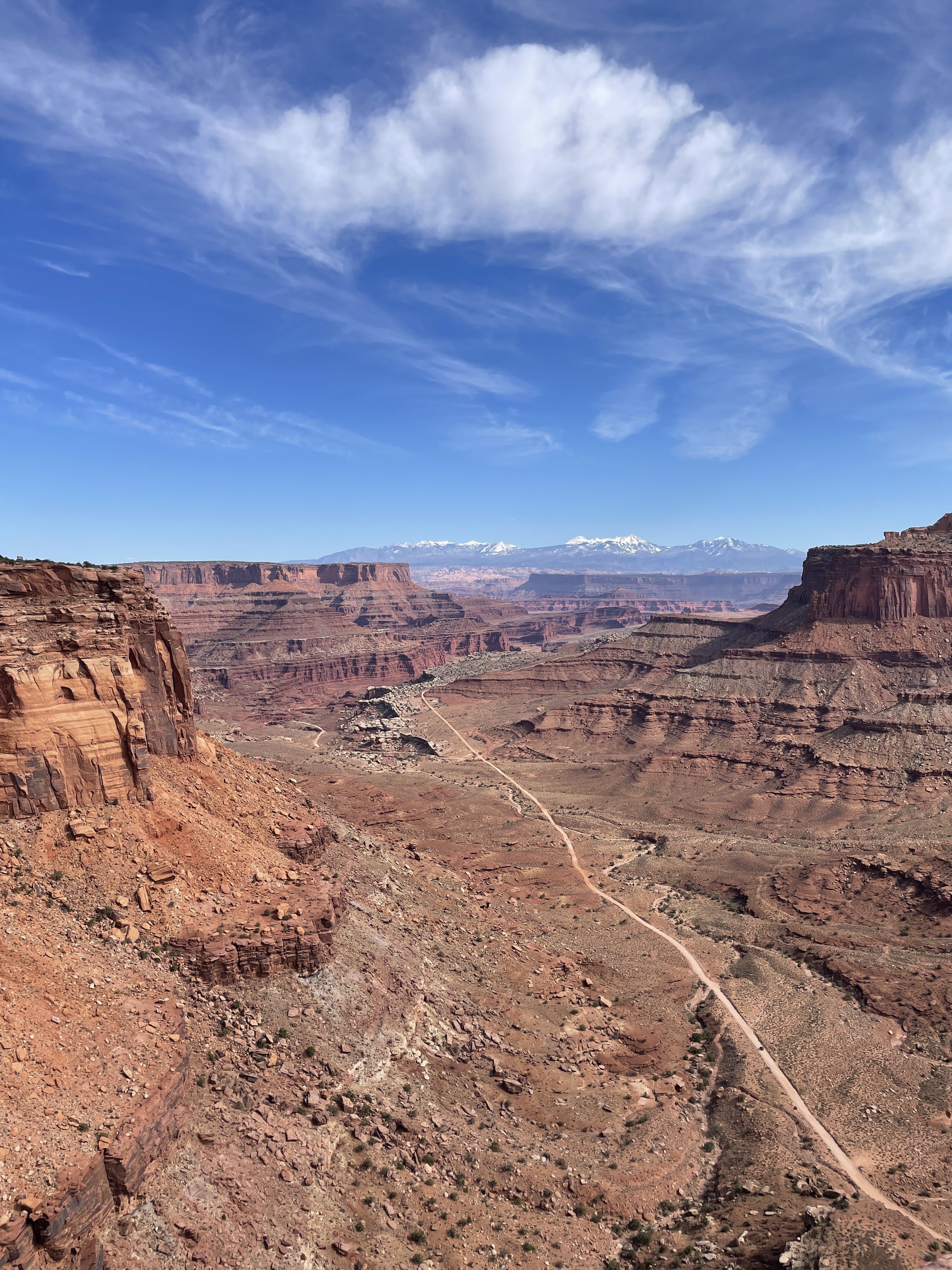
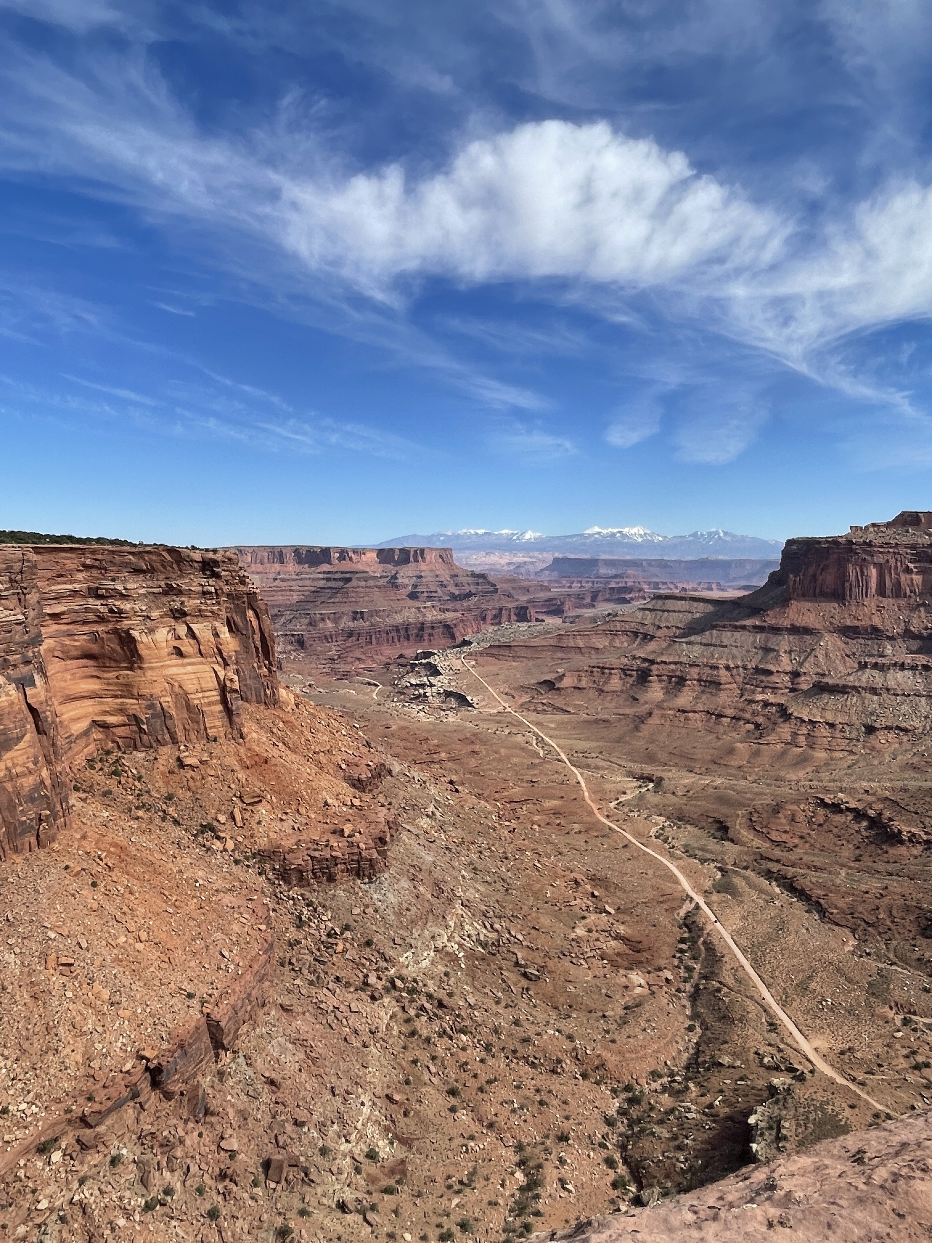
Canyonlands gives the Grand Canyon a run for its money!
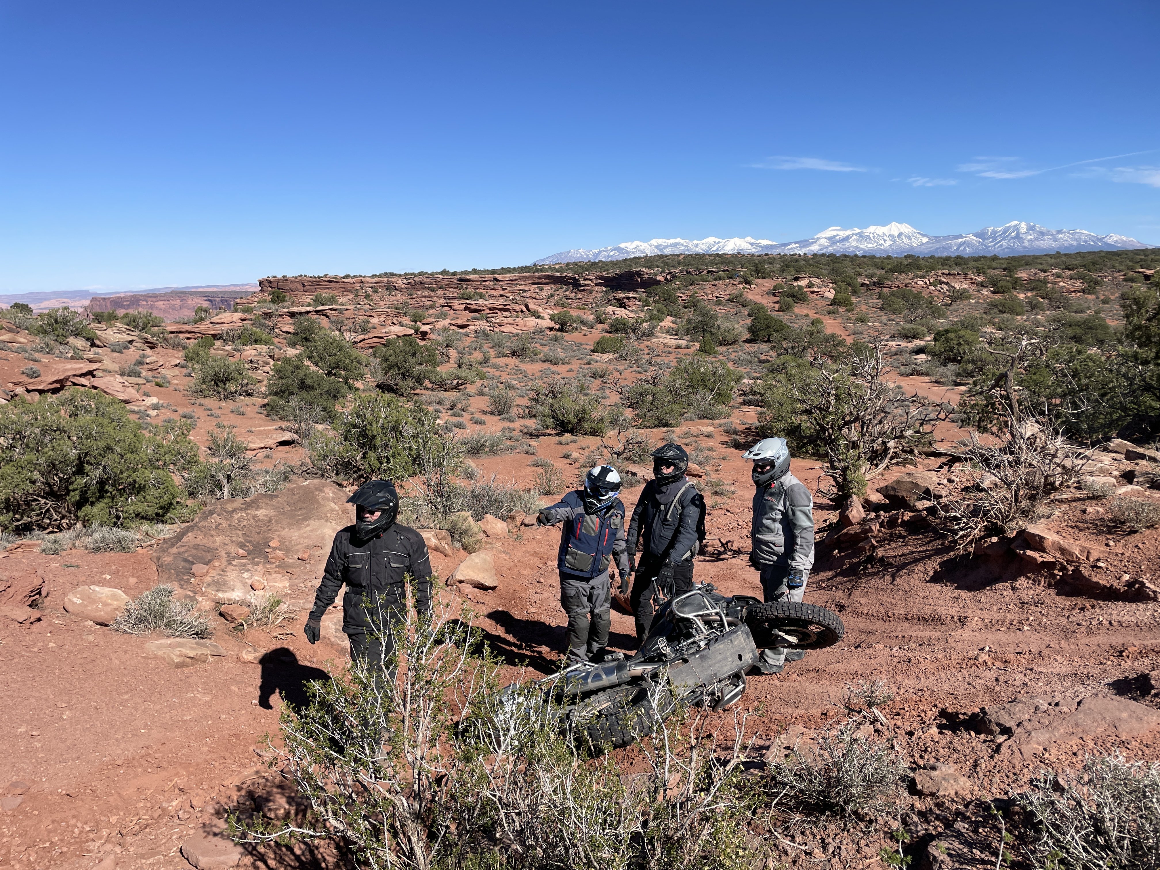
Those hills in the bottom left of the picture above are probably several hundred feet high! Gives you a scale for the place. You can also see a dirt road running thru there, Lockhart Basin. That is part of the Utah Backcountry Discovery Route, rated Expert. Look up this road on YouTube to find out why!
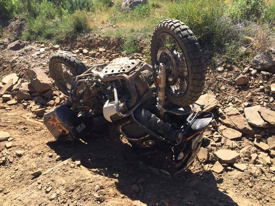
The camera flattens the slopes out, but behind the three riders was the tricky part. There were two options, but one must chose a direction quicker than our guy did
But, as you can see. He survived.
-
5
-
-
While waiting for the temps to get over 40, we took a little jaunt down the hill to look at the Colorado River canyons.
I know, the old codger doesnt understand the concept of selfies and was holding the phone wrong.
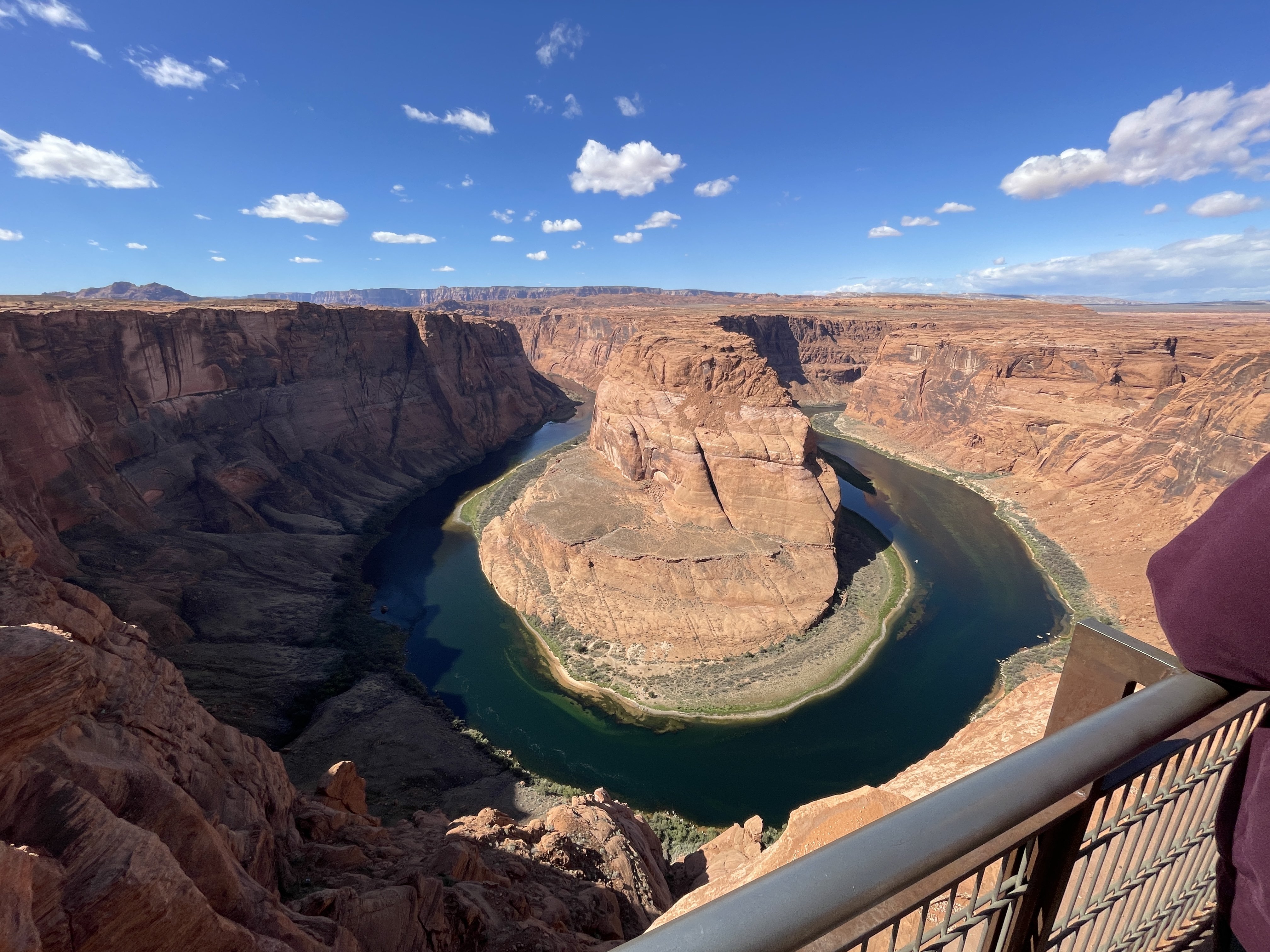
Tires changed, we headed off for 3Step. On the way, we had to look at another canyon.
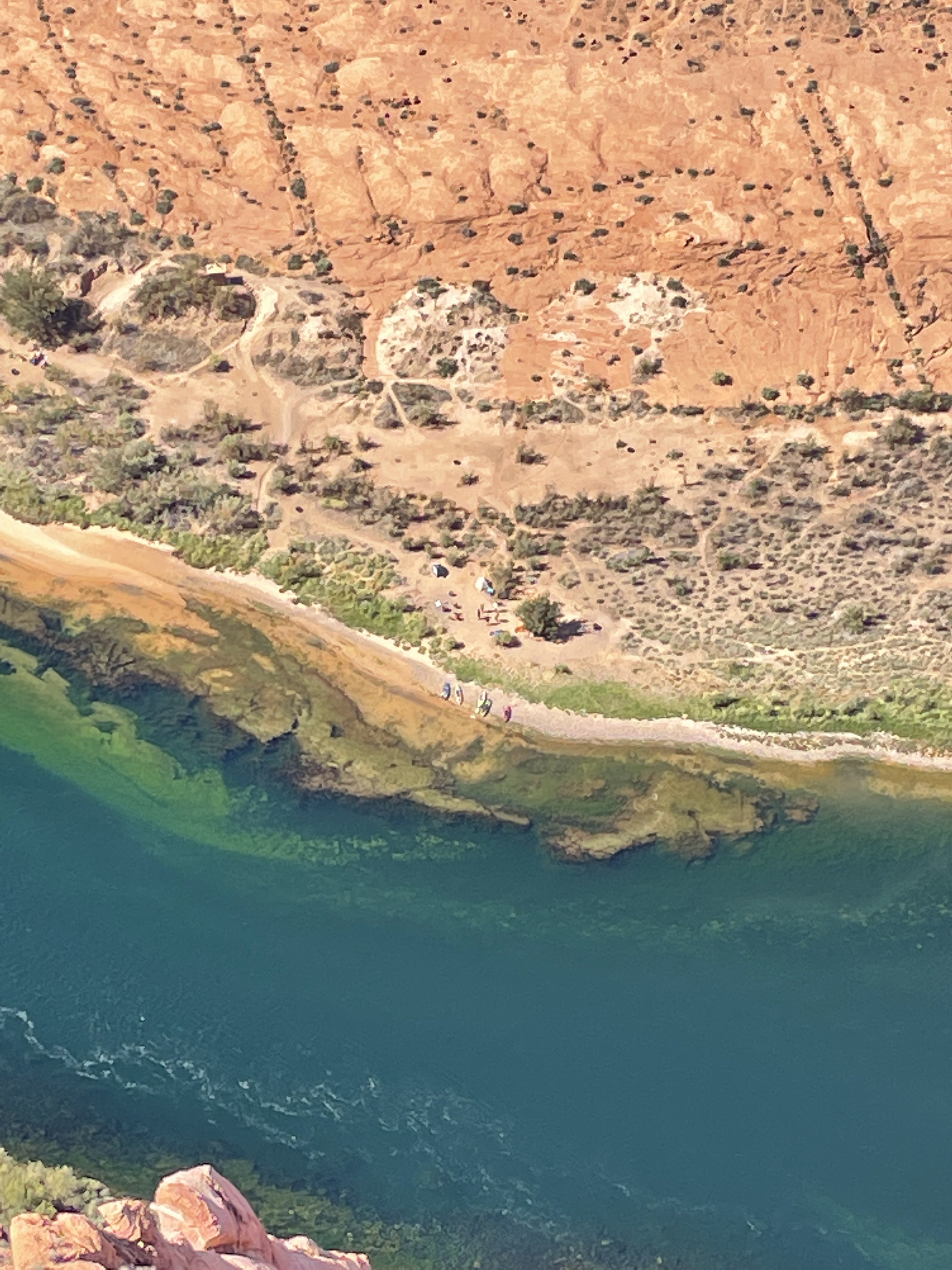
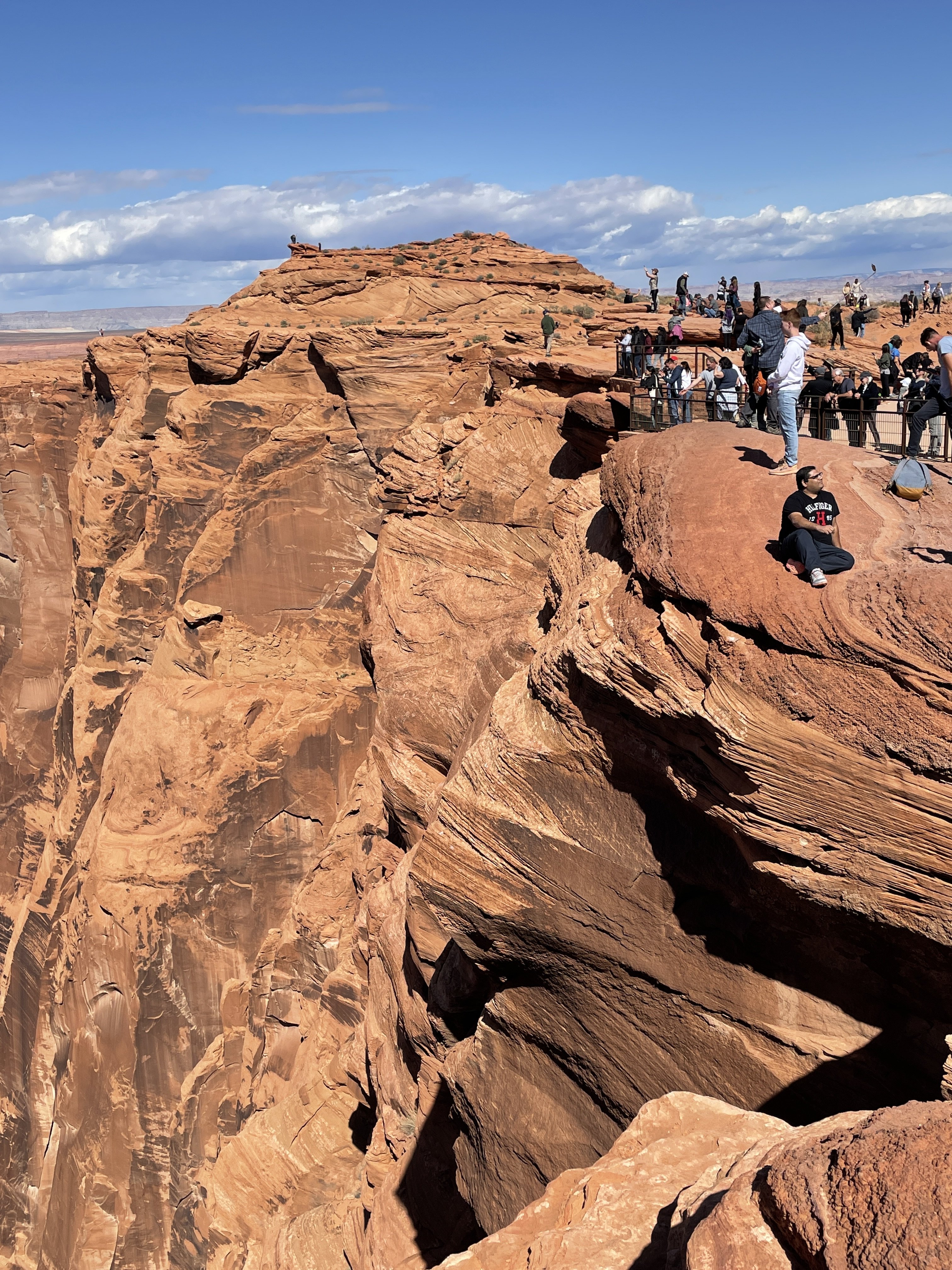
Horseshoe Bend
Right below the lookout. Zoom in and you can see boats and tents...
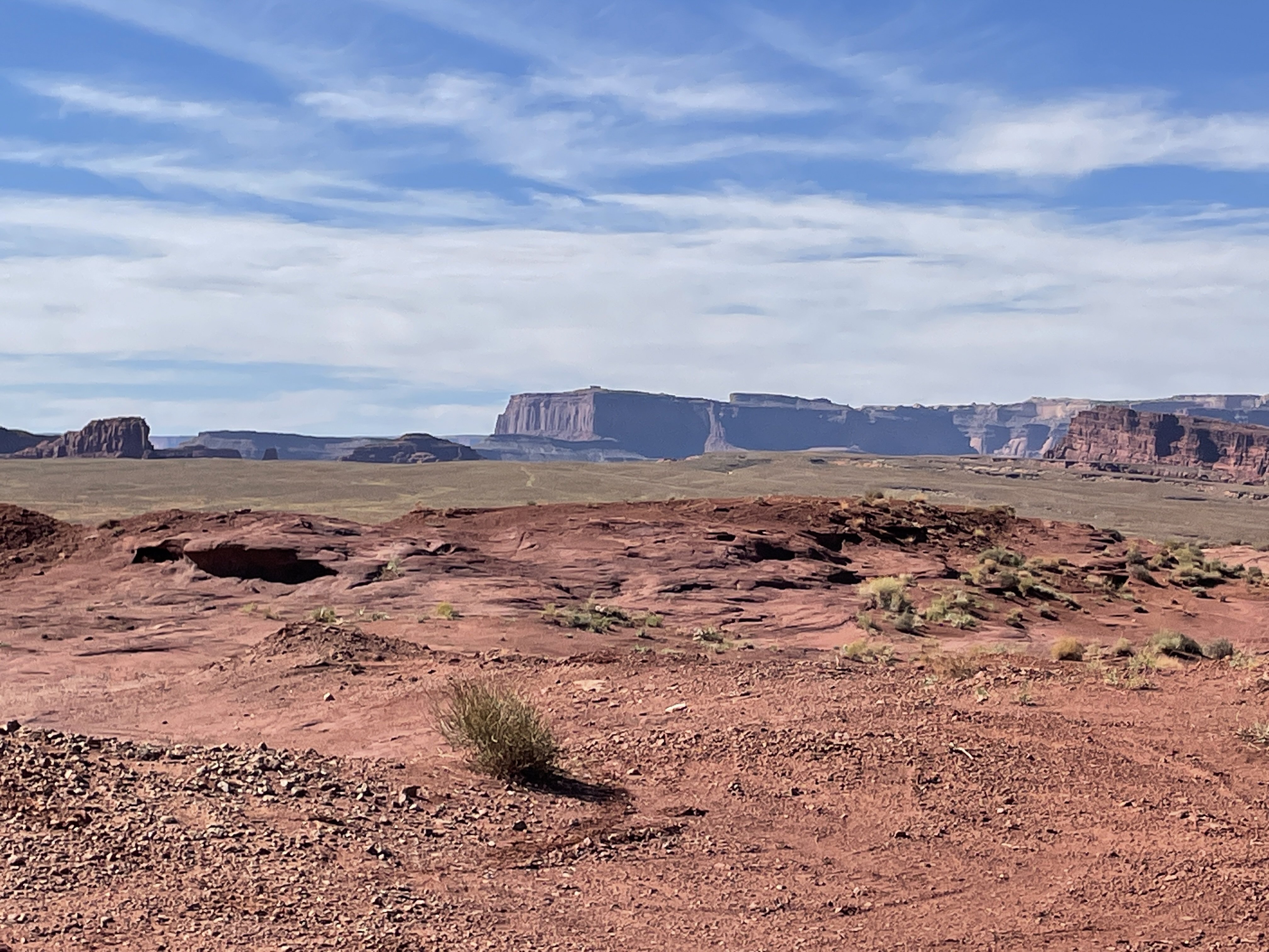
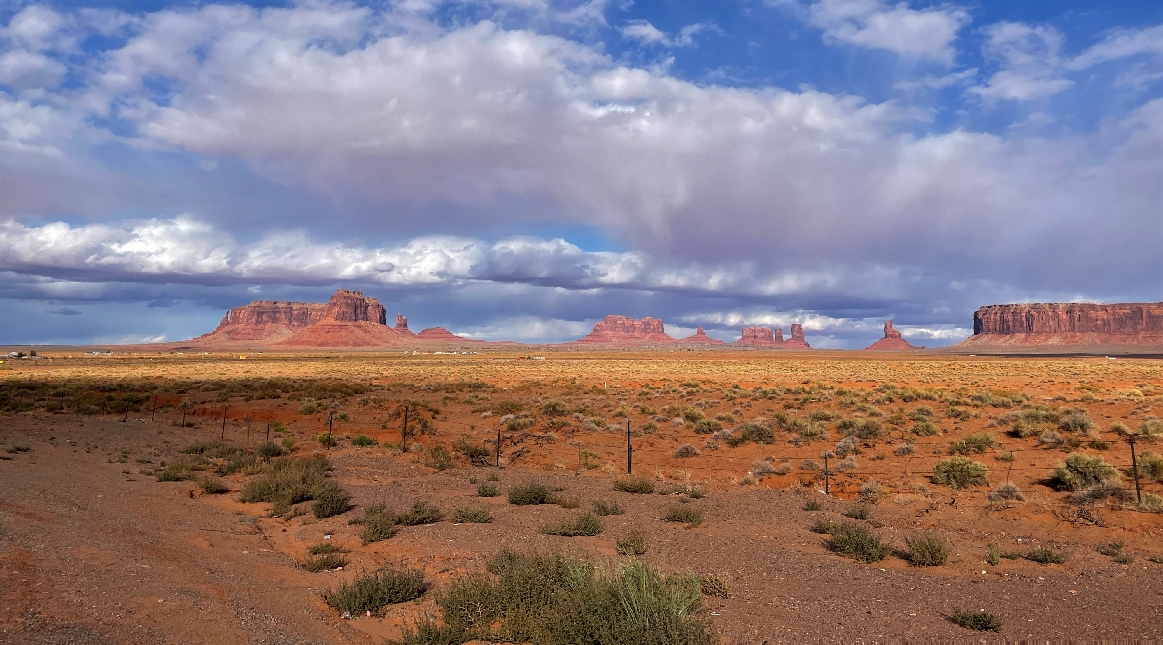
Our route took us thru Monument Valley... (Forrest Gump, most western movies)
somehow, the "short" ride to 3Step turned into an all day ride. What first showed as about 120 miles on the GPS, quickly became about 260 when you used the roads <G>.
As approached Monticell0 (SW of 3Step) we noticed that the clouds in the pic above were getting thicker and darker. We never got rain of any measure, but the snow storm we rode thru the last few miles was interesting in the dark!
<iframe width="560" height="315" src="https://www.youtube.com/embed/8eOsdPgTdVM" title="YouTube video player" frameborder="0" allow="accelerometer; autoplay; clipboard-write; encrypted-media; gyroscope; picture-in-picture" allowfullscreen></iframe>
-
9
-
-
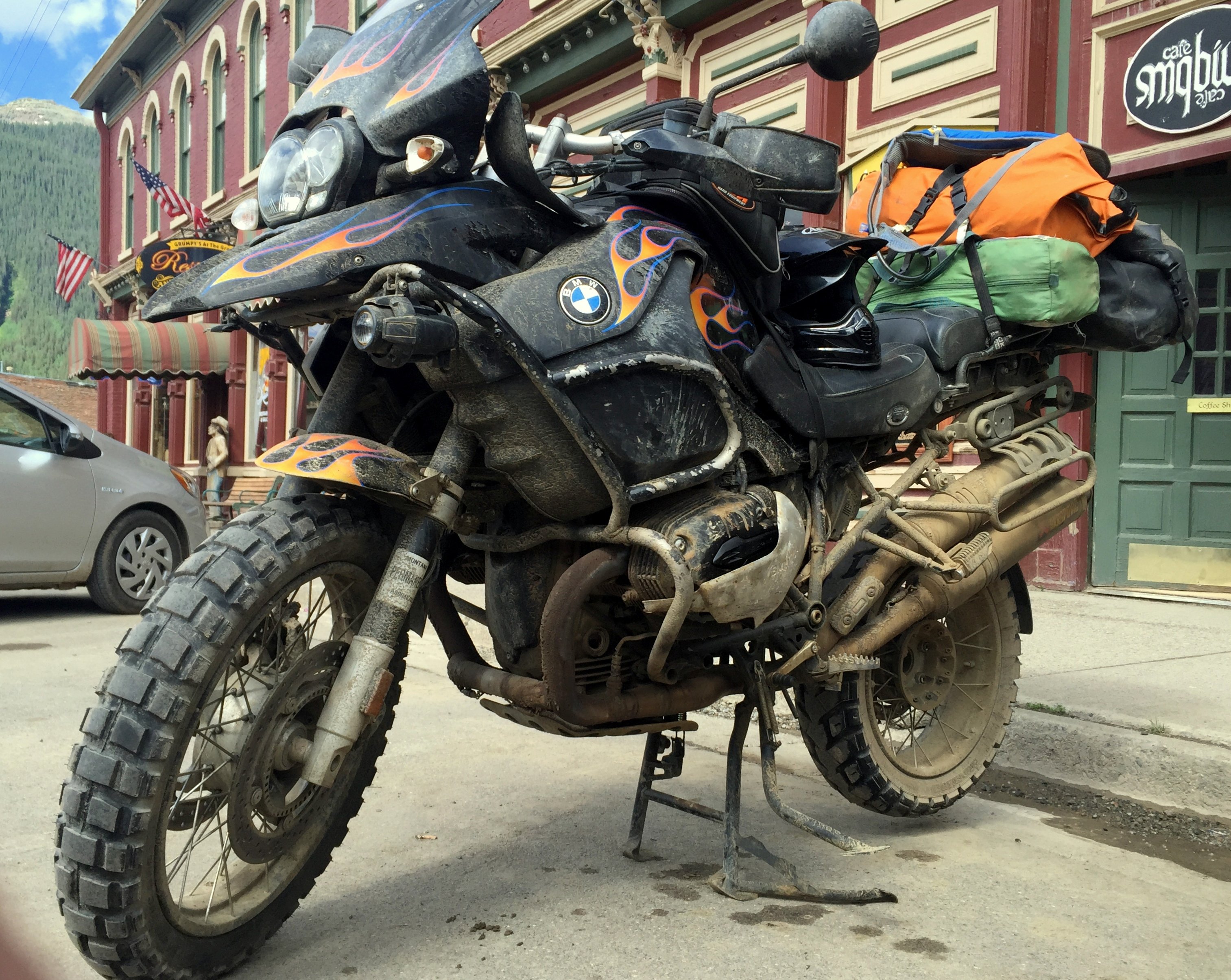
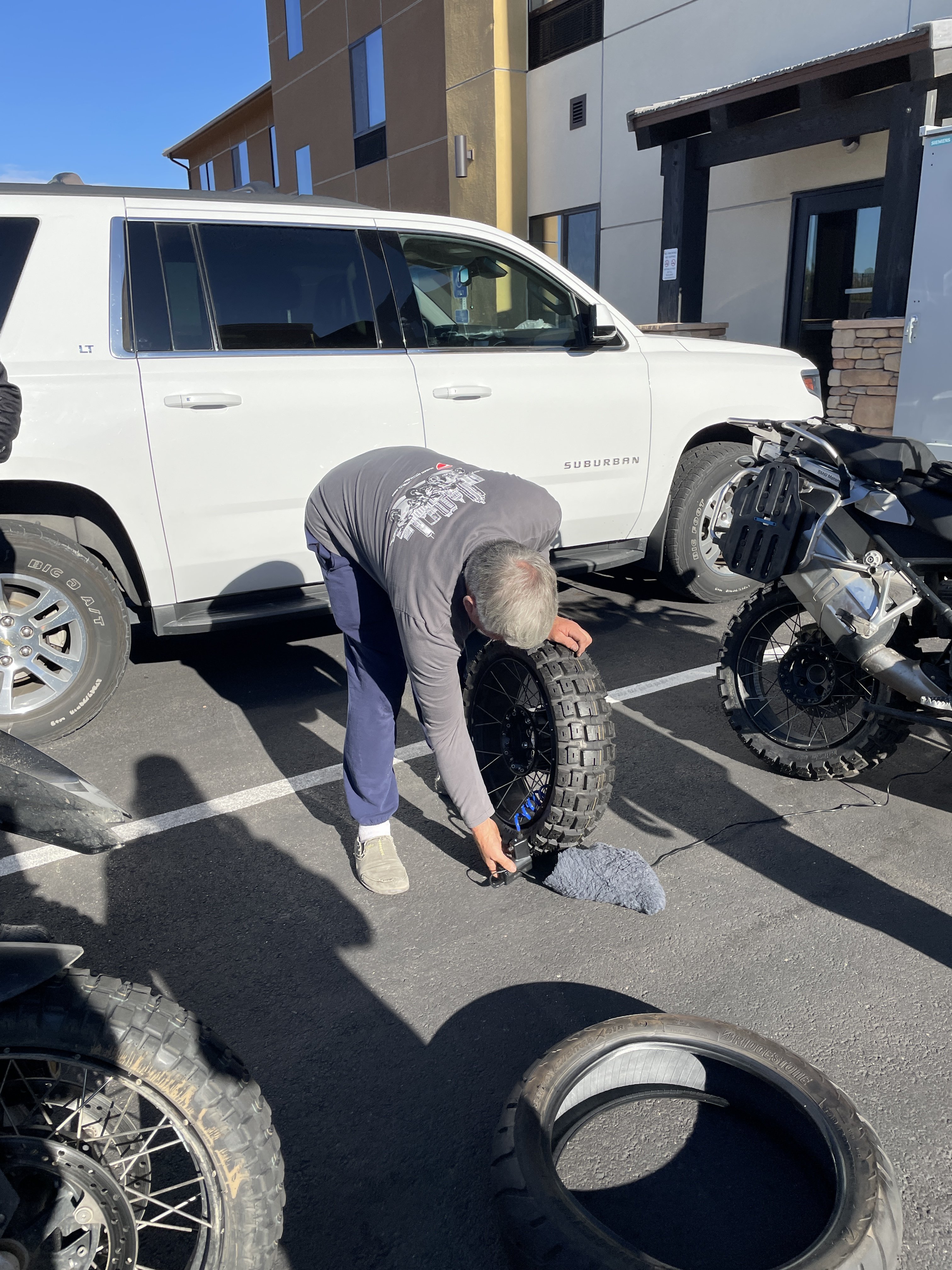
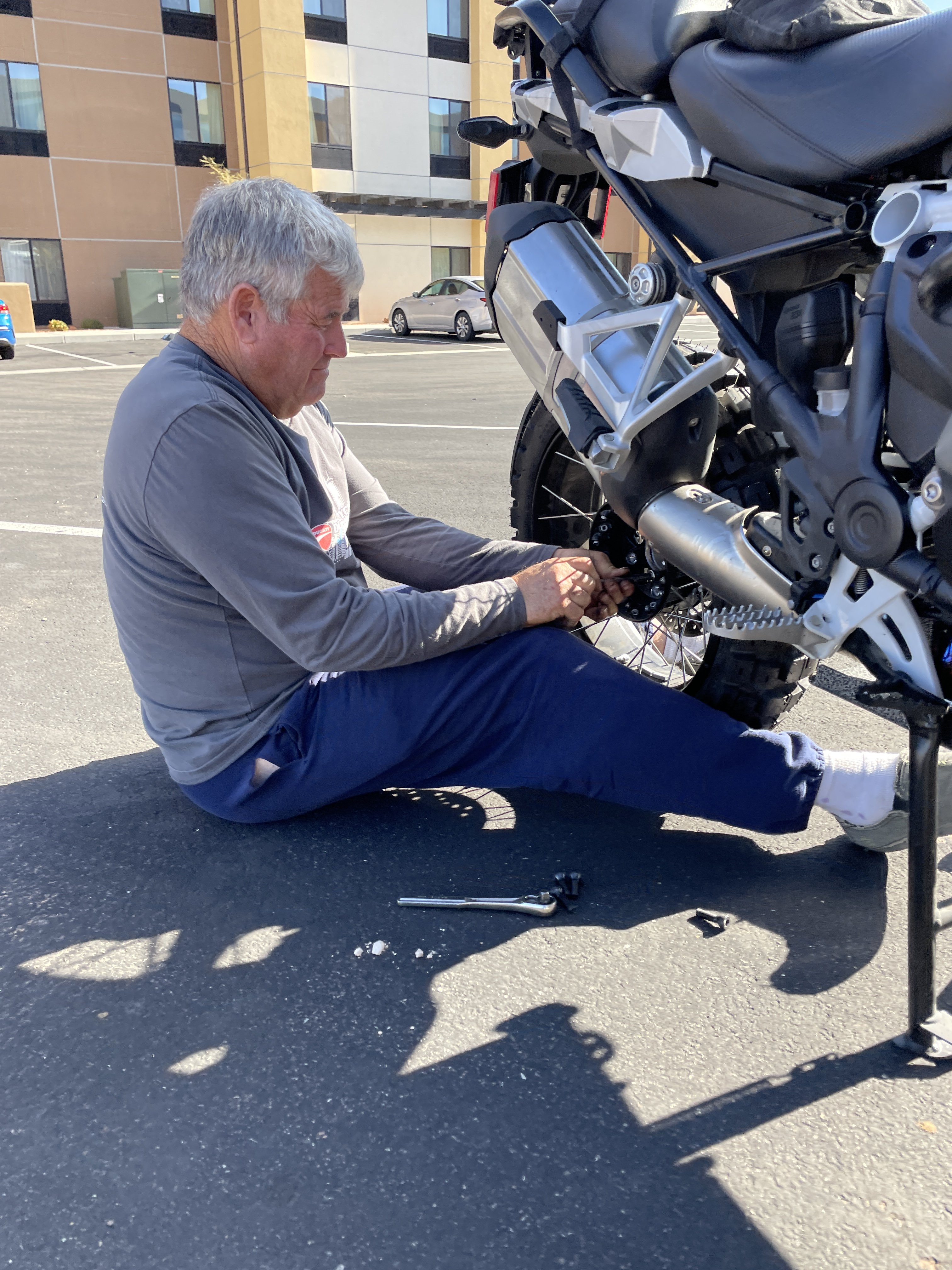
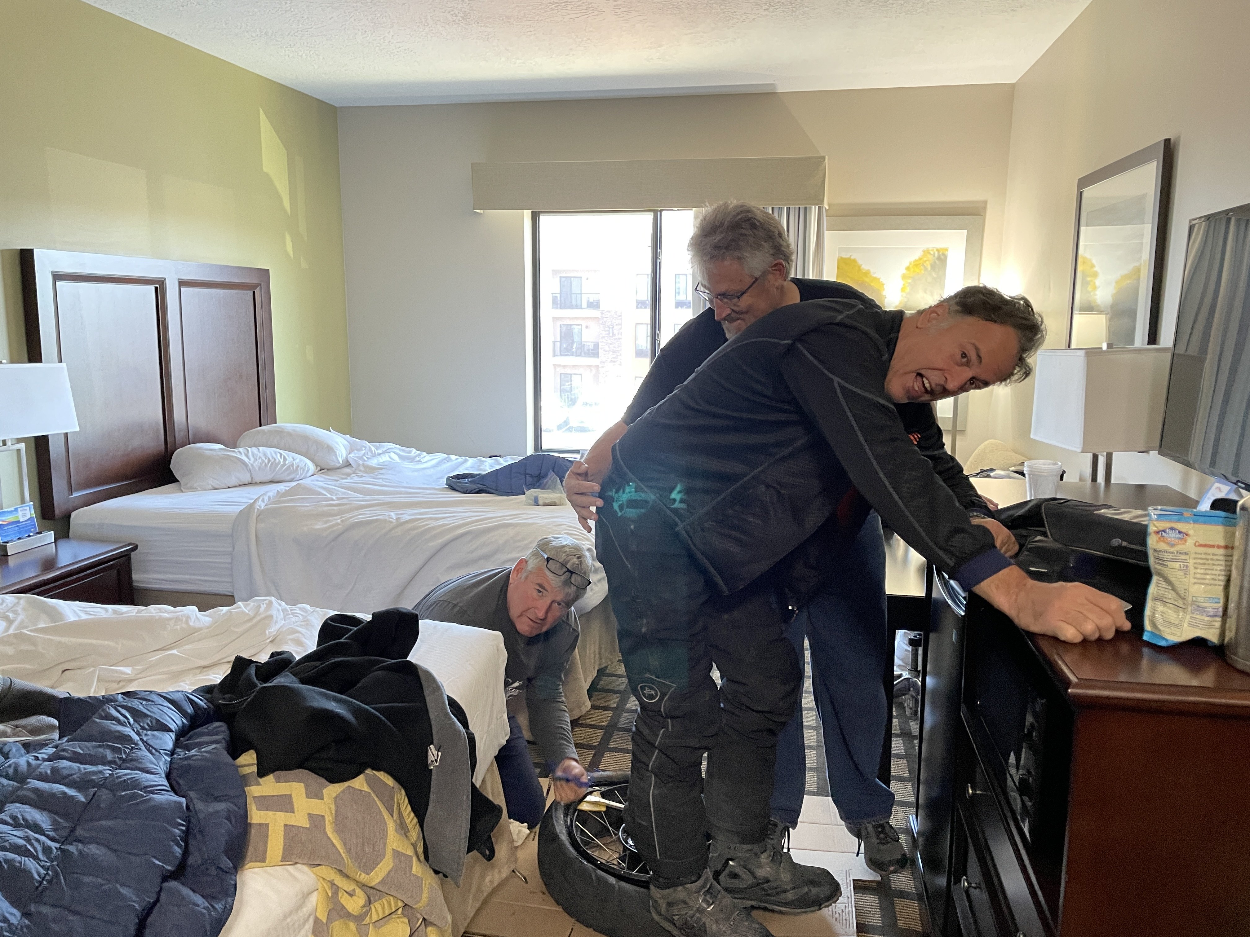
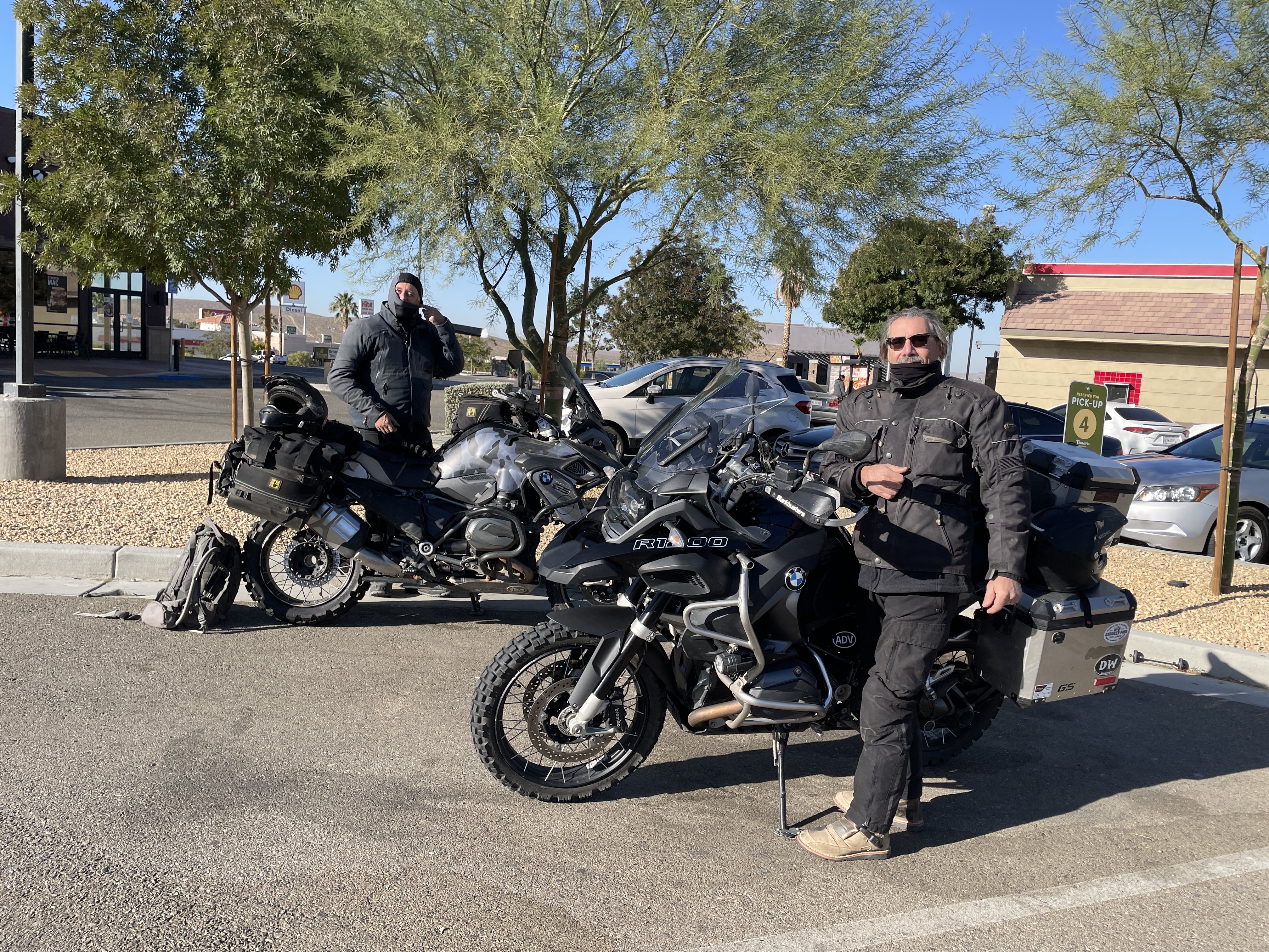
The day was supposed to be a short ride into 3Step Hideaway, an offroad focused BNB. Totally off the grid, with cabins and teepees for staying in. Given the short day, we changed tires on my bike, going for some knobbies.
One thing we discovered is that it is easier to break the bead on the old tire if you let all the air out first.....
I dont carry many tools, etc on my bike on these trips. I just make sure our buddy, Dennis Godwin is along. He even carries spare bike parts!
No, really. We are all trying to get the old tire off here....
-
2
-
5
-
-
1 hour ago, XTreme said:
Great shots Rick........rather you than me in those temps though!
Yeah. 4 layers of clothes will help, some times. (the snow storm in upcoming parts was "interesting")
-
3
-
-
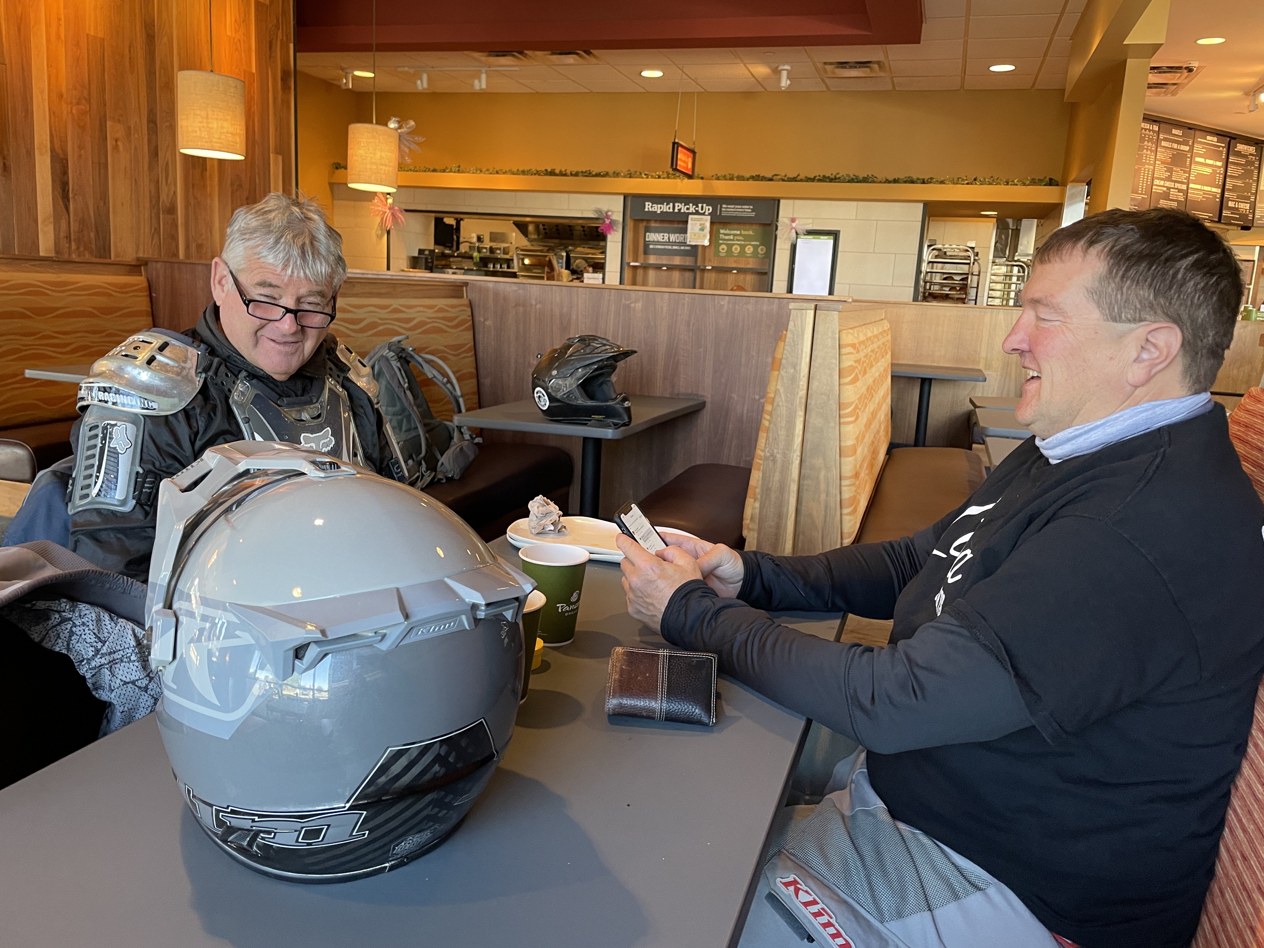
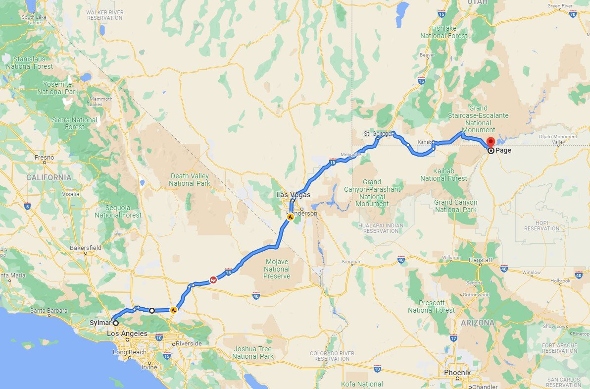
It seemed like a good idea at the time - ride to Moab, UT as the temps wouldnt be in the 100s (38C) anymore. And, they werent. However, they were in the 30s (1C), tho. (you're welcome for the conversions to that weird system).
Normally, these GS riders would be found at Starbucks, but the closest one was drive-thru only. So, Panera Bread it was:
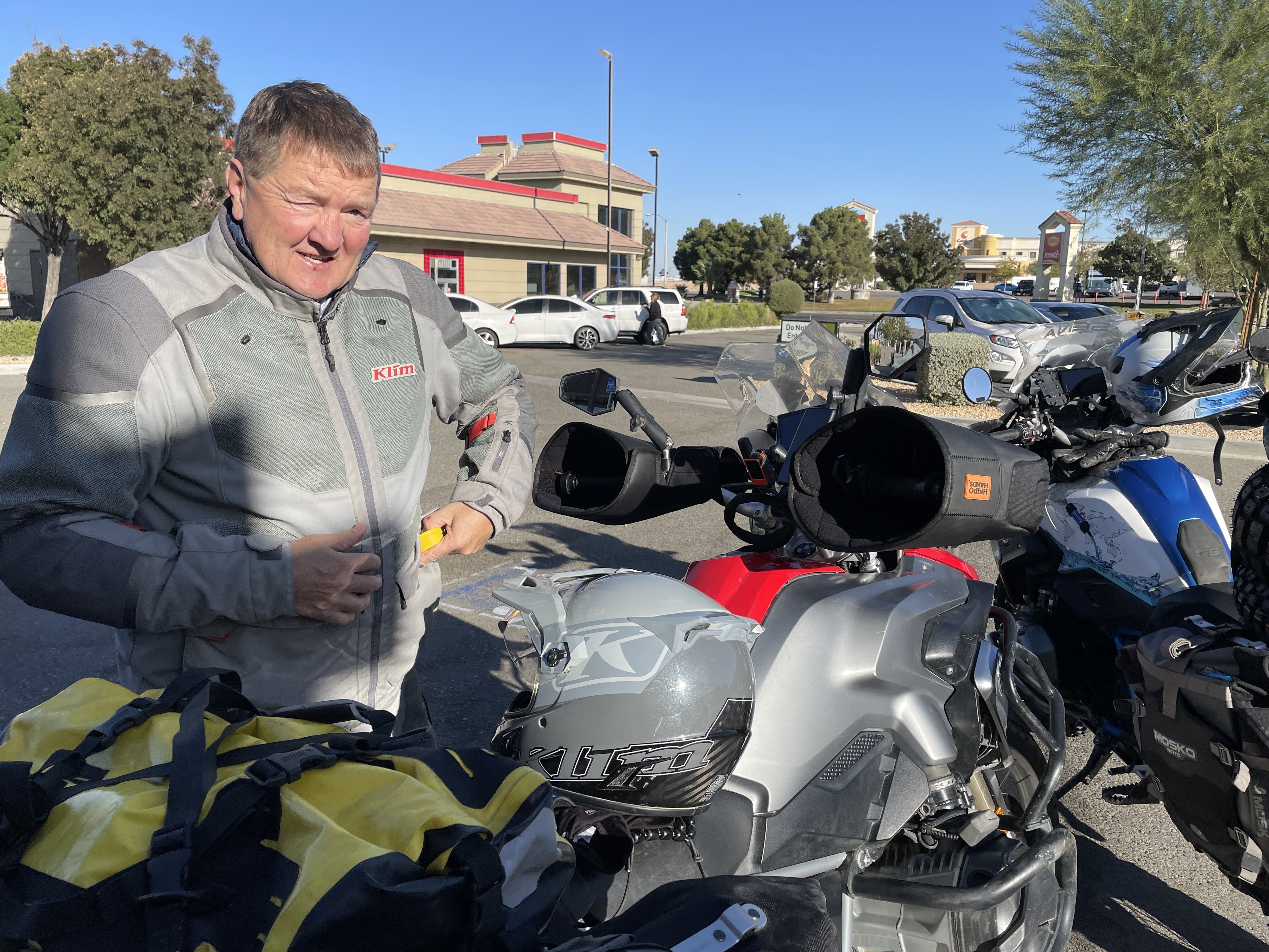
This bastard didnt tell us he was bringing heated gear and Hippo Hands!. Then, again, he does wash his GS after use.
The real riders only layered up against the temps. (still under 40F at this time)
The original plans were to spend the first night a friends second home in Duck Creek, UT, but the snow changed that plan.
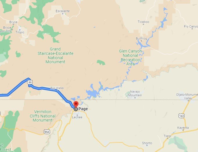
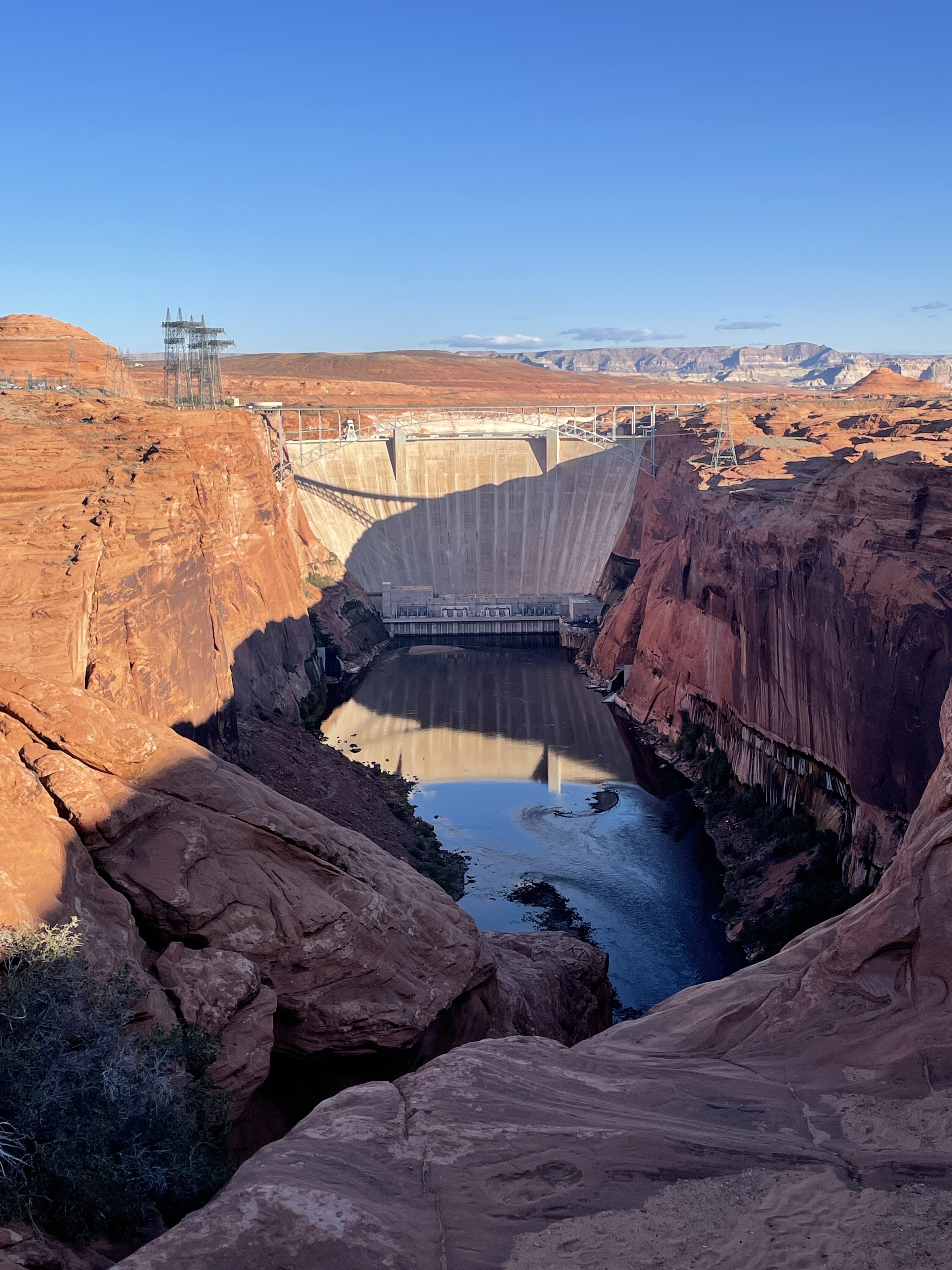
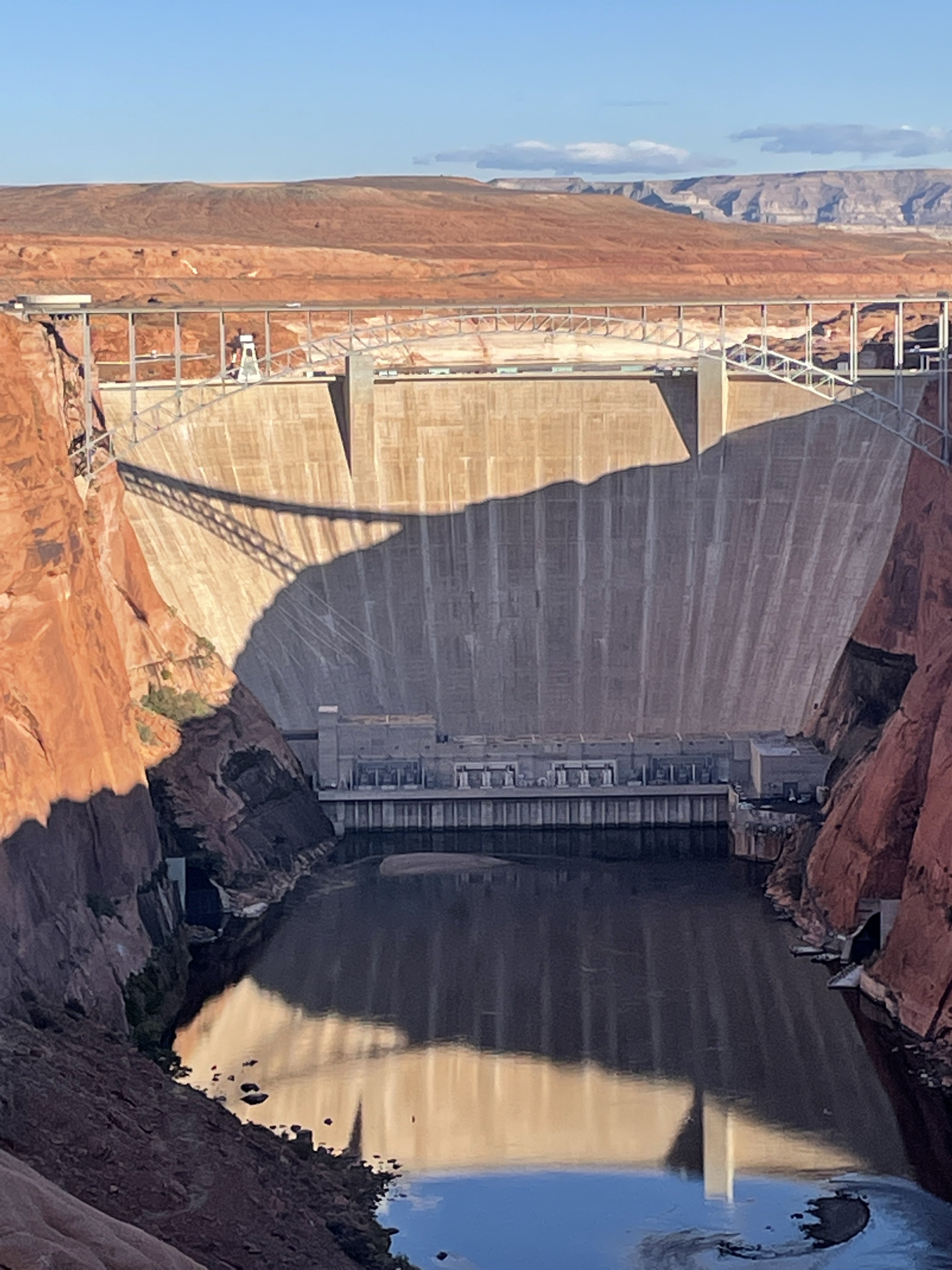
So we rode out to Page, AZ instead, at the bottom of Lake Powell.
The lake was formed by damming the Colorado River.
Being that the southwest portion of the country is mostly arid, most of the lakes are manmade. Powell is a large one!
-
7
-
-
We are leaving in the a.m. for Moab. Might not be the best idea
-
3
-
-
Easy now. The feminine's here ride more than most of the guys
-
3
-
-
club breakfast yesterday (picture a bunch of old farts, speaking loud enough to clear a restaurant while reliving their greatness).
24 showed for breakfast, which quickly dwindled to 8 when we mentioned doing some dirt riding after
before the asphalt comments start, this was taken after we had come down out of the mountains. Not many other pictures cause i was too busy trying to keep up. I'm getting too old for this shit!
-
7
-
-
Nice pics all!
shouldnt the "losers" get participation trophies, at least? or, is that an amurican thing?


Moab 2021
in RIDE REPORTS
Posted
Monday, we left Moab and headed south towards Flagstaff, where we decided we would spend the night. I had to get back to work, while the other 3 had extra days to play around Sedona.
Not only is Moab a favorite of mine, but the road from Moab, south thru Mexican Hat and Bluff is one of my most favorite roads. Near Mexican Hat is Valley of the Gods, which looks similar to Monument Valley (most American western movies filmed there, as well as Forrest Gump's famous running scene). The best part of Valley of the Gods is the free camping available anywhere along the 20 miles of road looping thru it. At Monument Valley, owned by Native American, you pay to enter. And, you know the cheapest thing on a BMW is the rider.
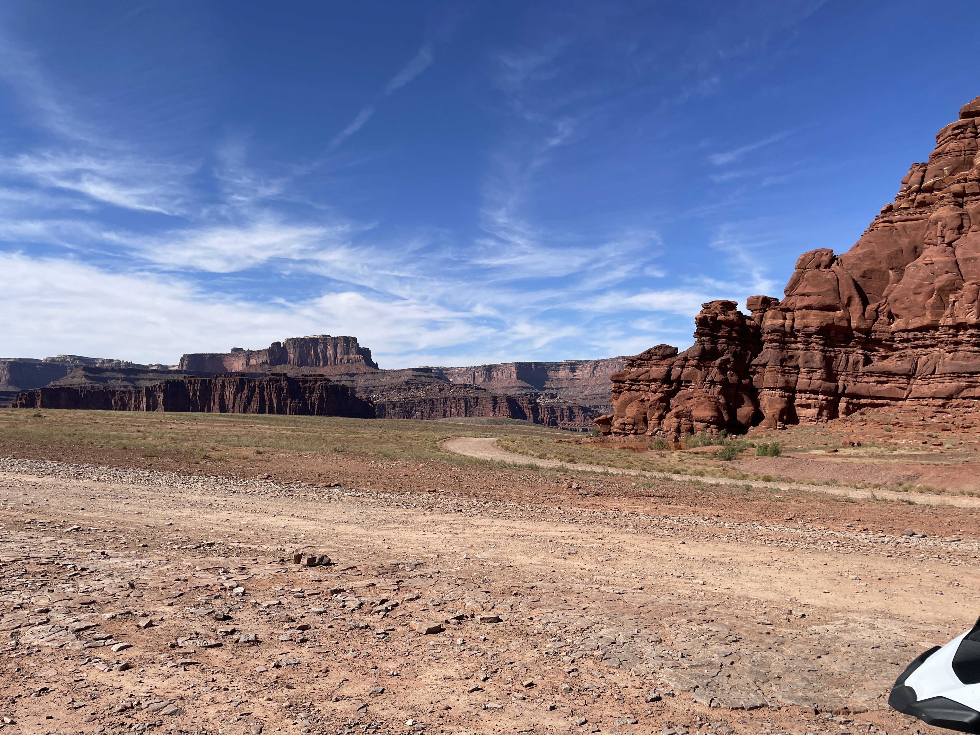
Next to Valley of the Gods is Moki Dugway, another hot spot for world travelers coming thru this area. The Dugway is a road that climbs what appears to be a vertical face of one of the large mesas. In fact, you cant see the actual road until you are about a couple of hundred feet away from its start.
The views from the top can be incredible, as you look down on Valley of the Gods, and can see Monument Valley in the distance.
Leaving the Dugway, you head back to the main highway and on to Mexican Hat (rock formation that looks like a sombrero about 200 feet off the ground) and then on to Monument Valley
This view never gets old....
We made it into Flagstaff before temps dropped to badly, found a motel, ate Mexican food and the next morning I said my goodbyes to the other three and slabbed it back to Los Angeles. The only good thing about that day was the slowly increasing temps, from 42 up to about 85. It felt good to be warm again!