Search the Community
Showing results for tags 'france. 1st world war.'.
Found 1 result
-
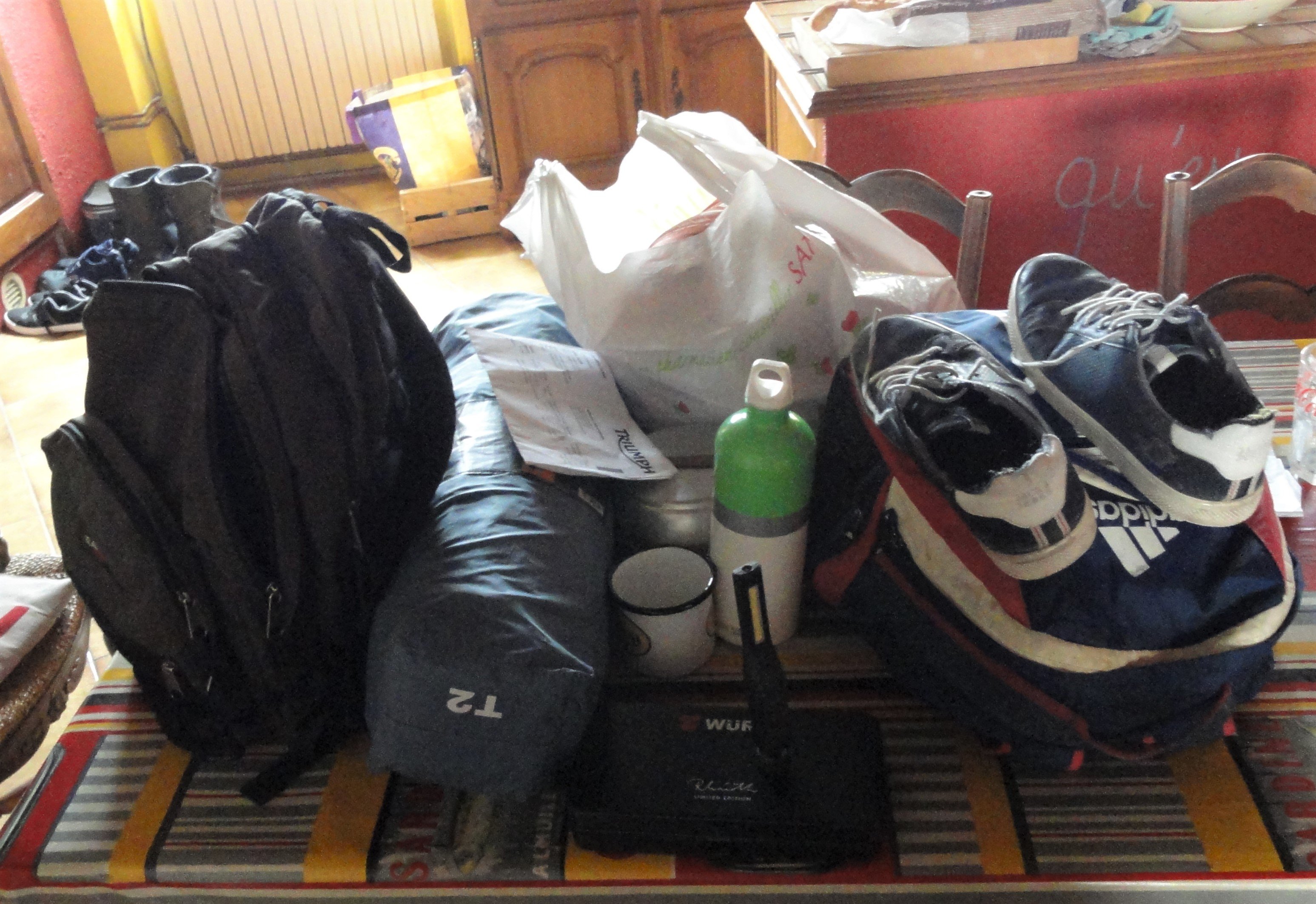
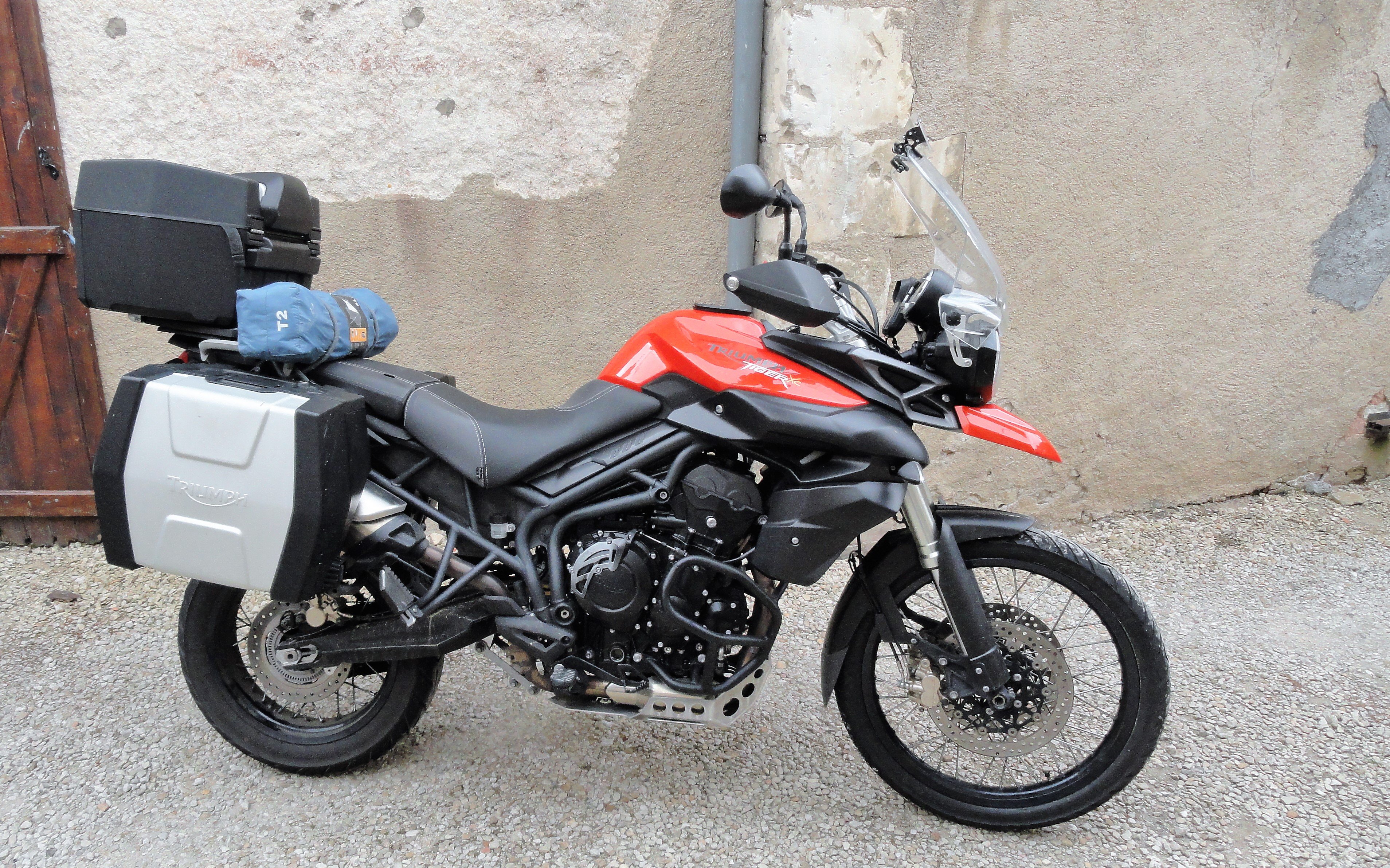
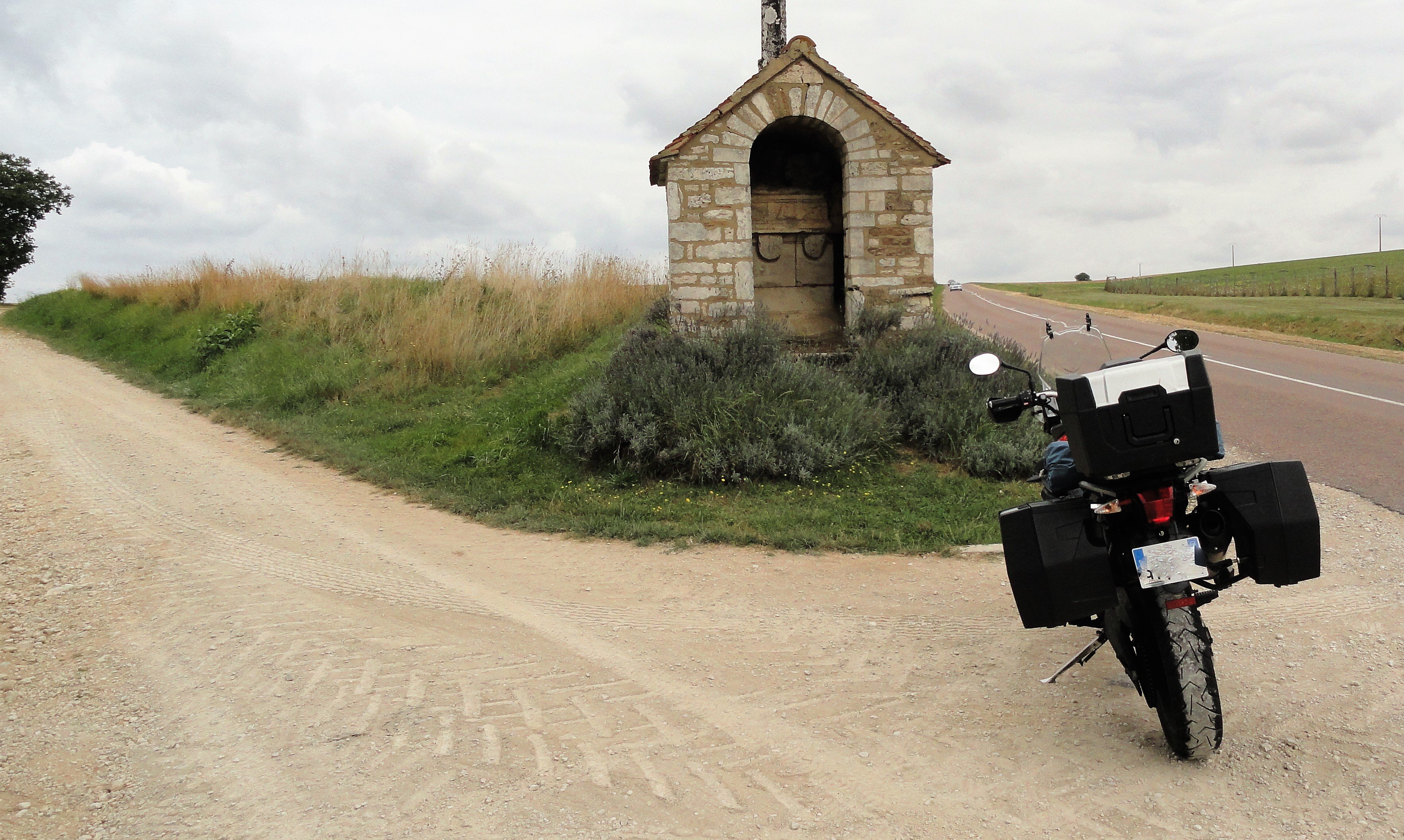
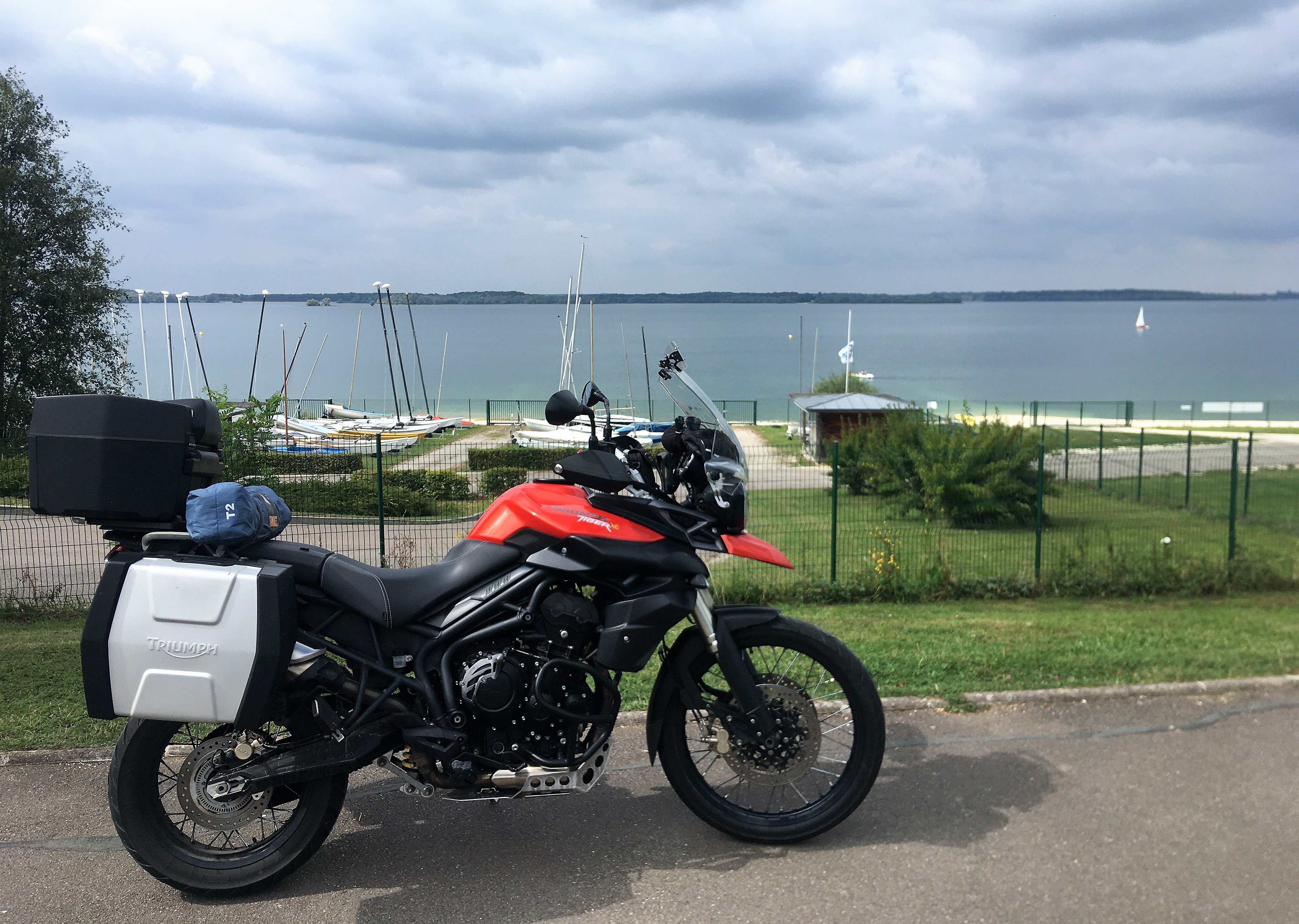
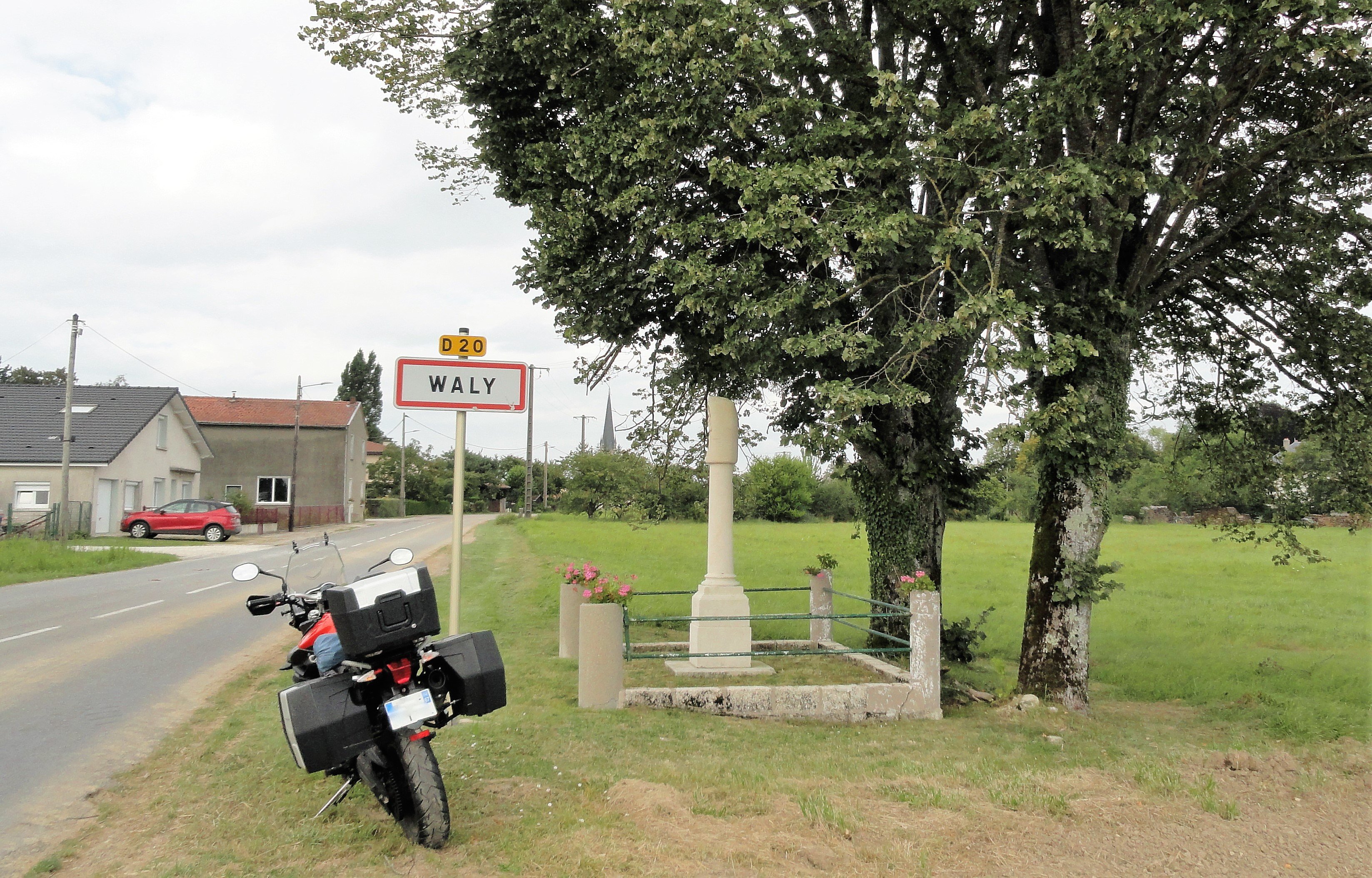
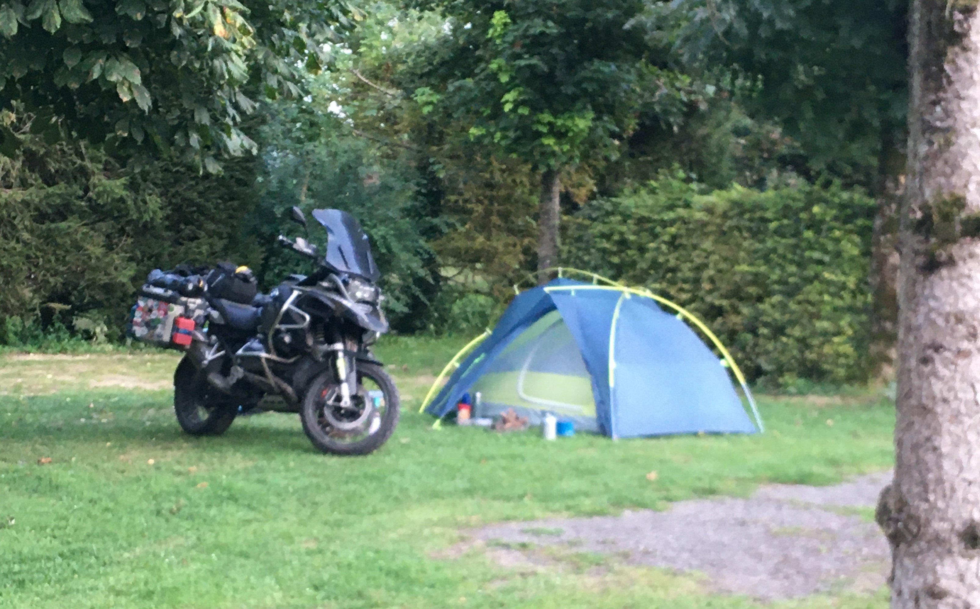
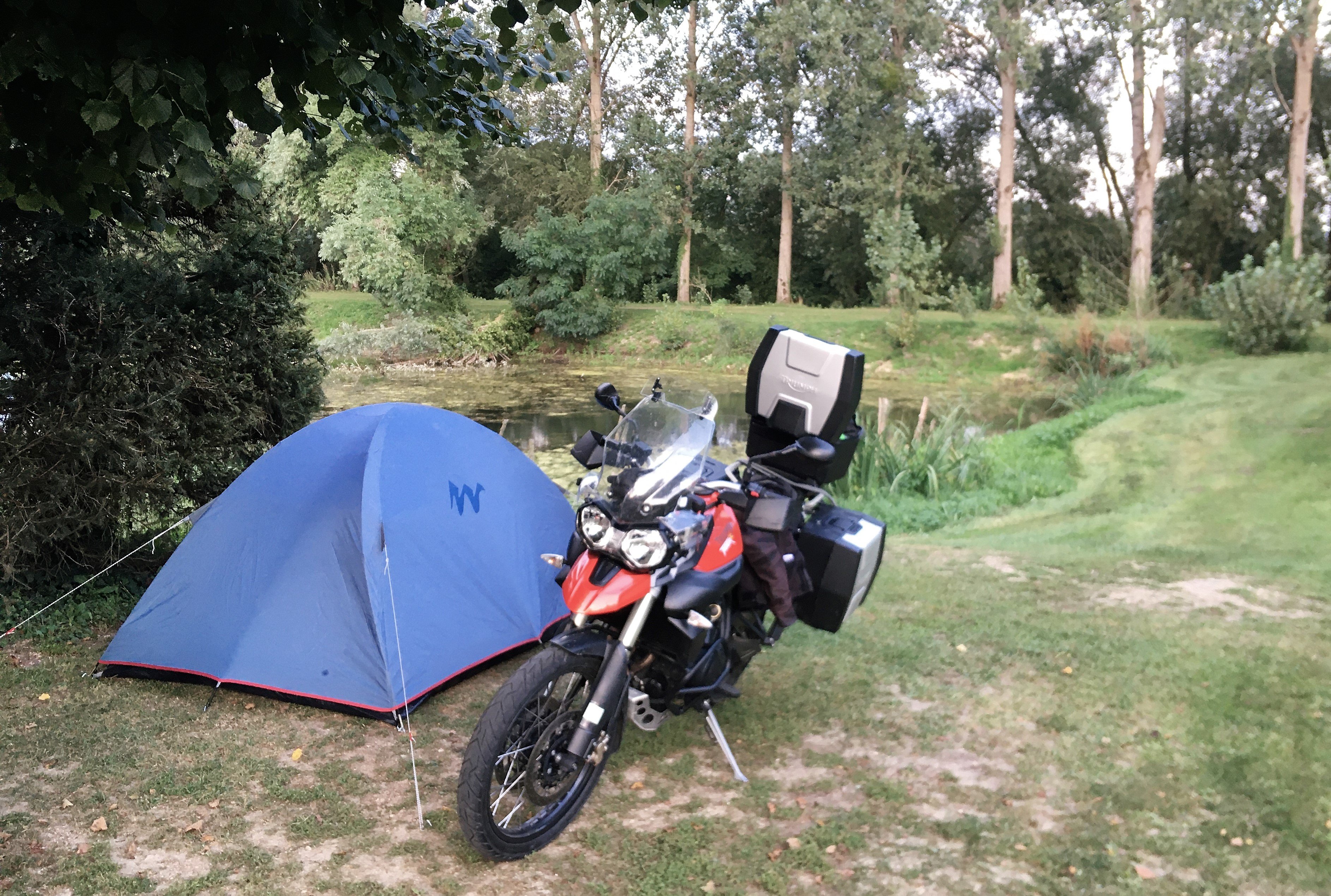
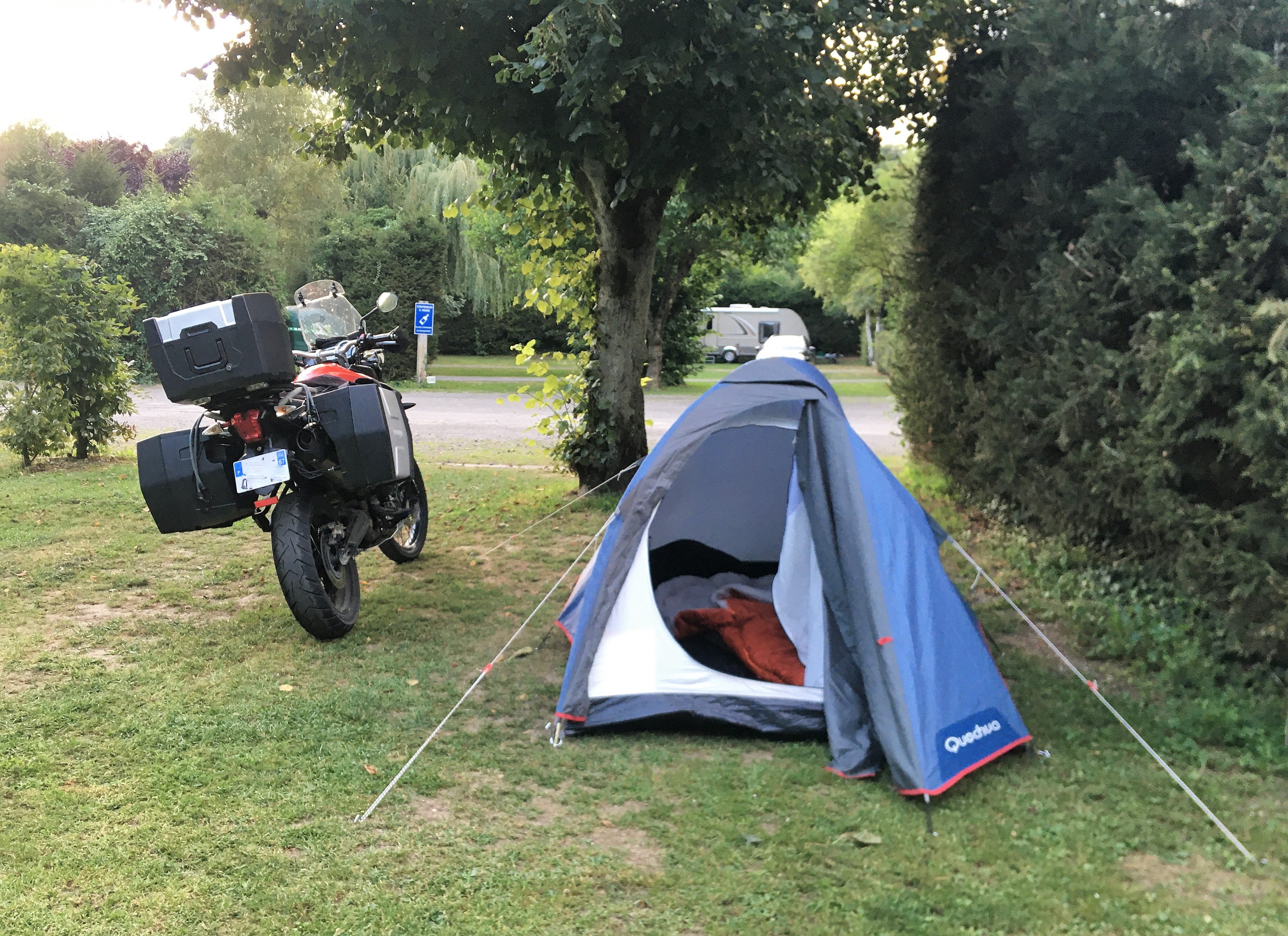
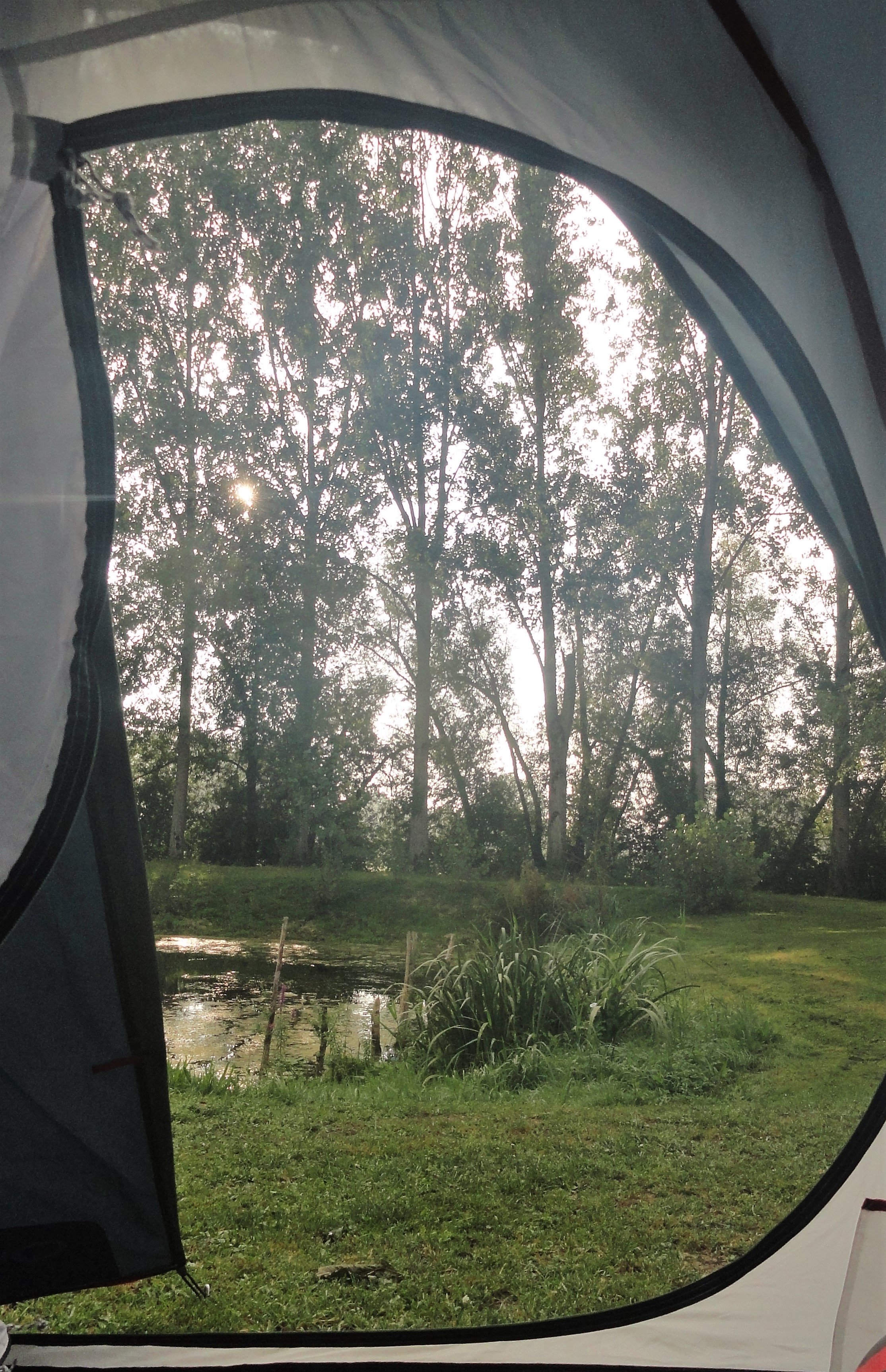
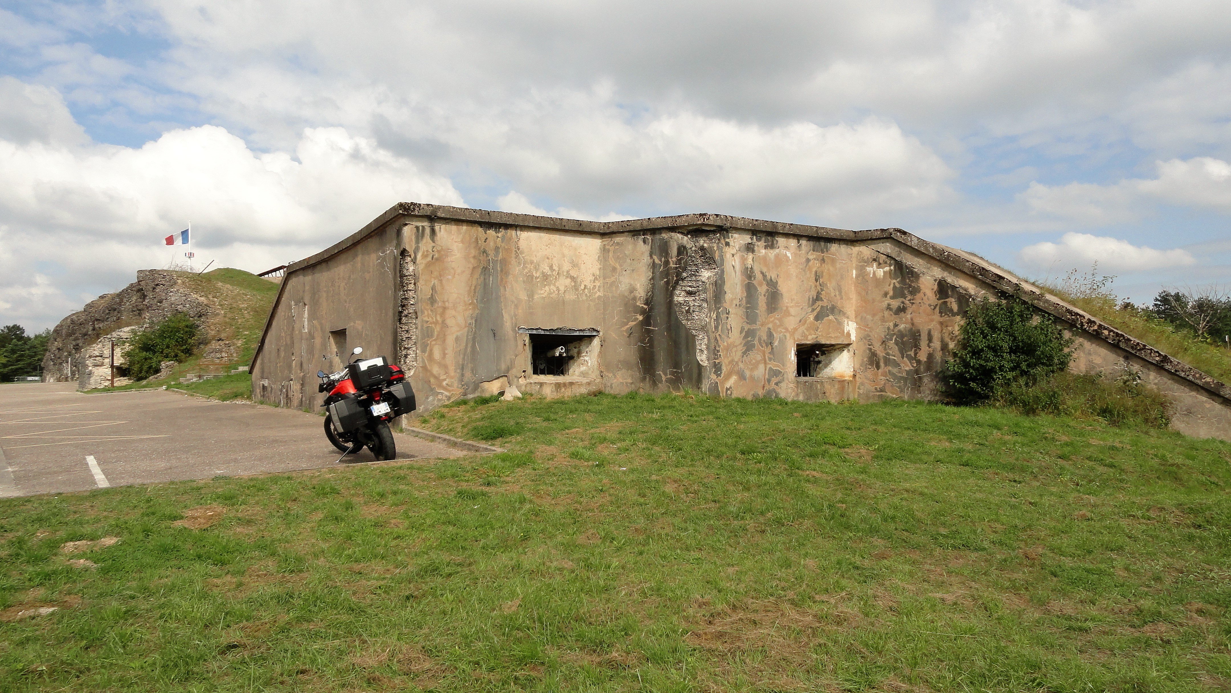
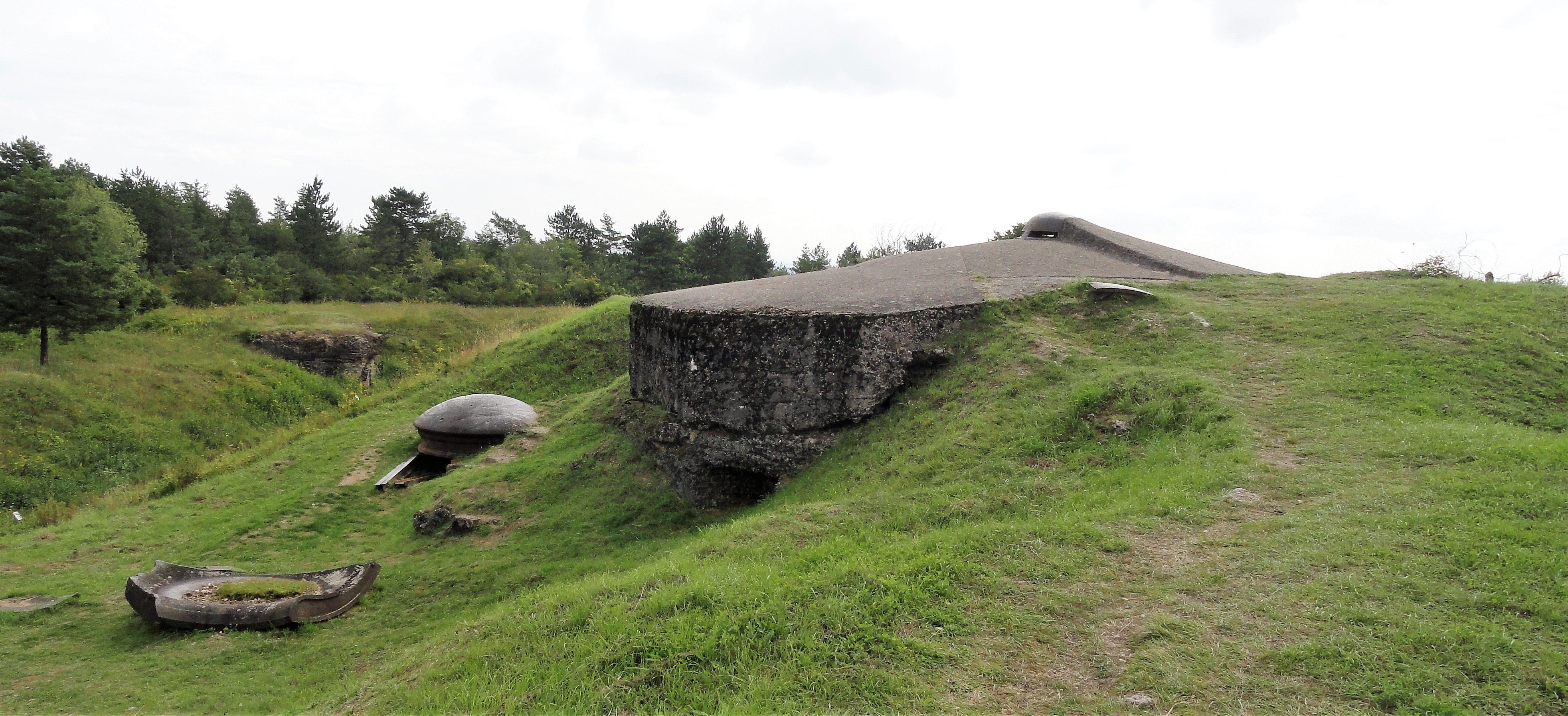
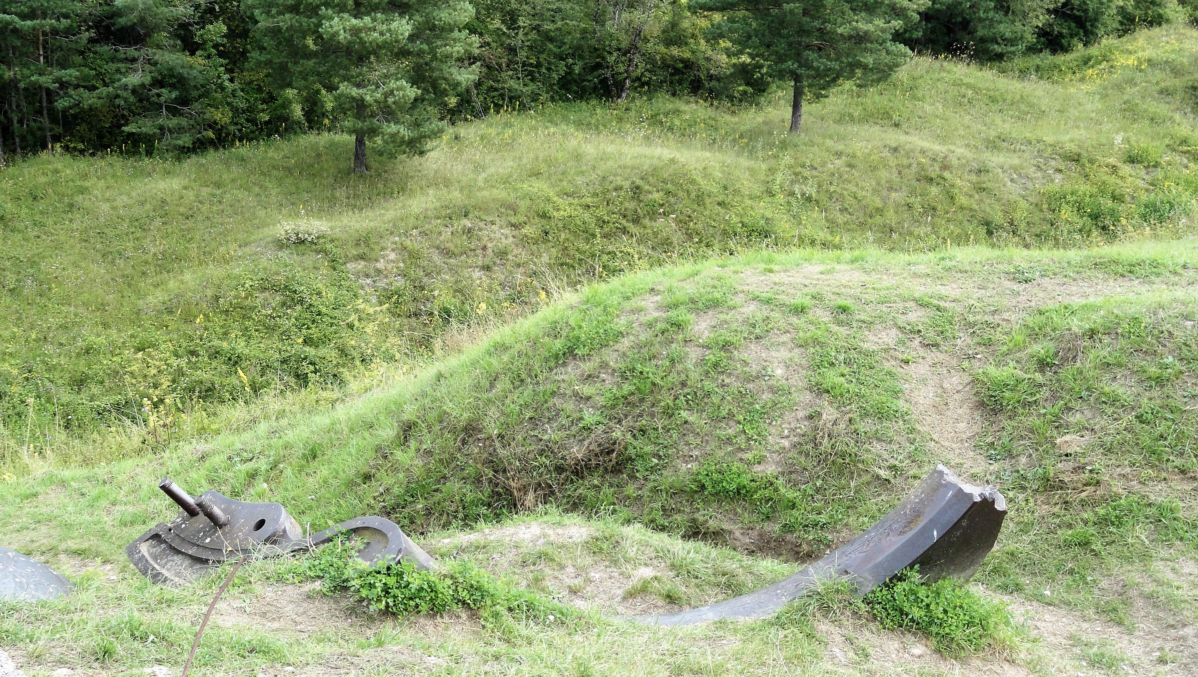
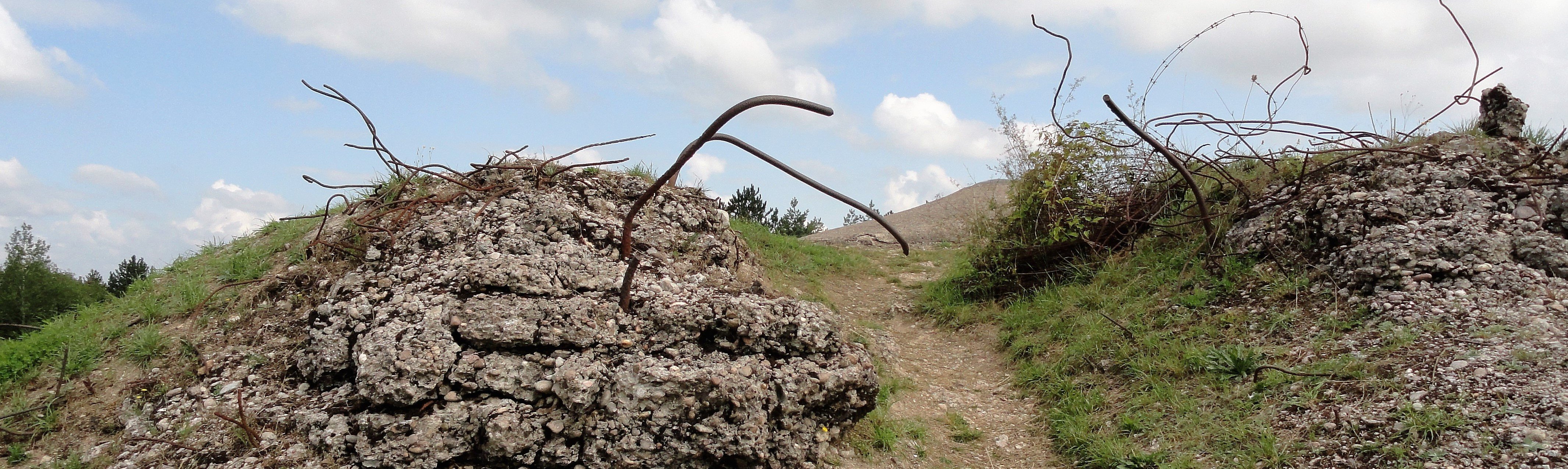
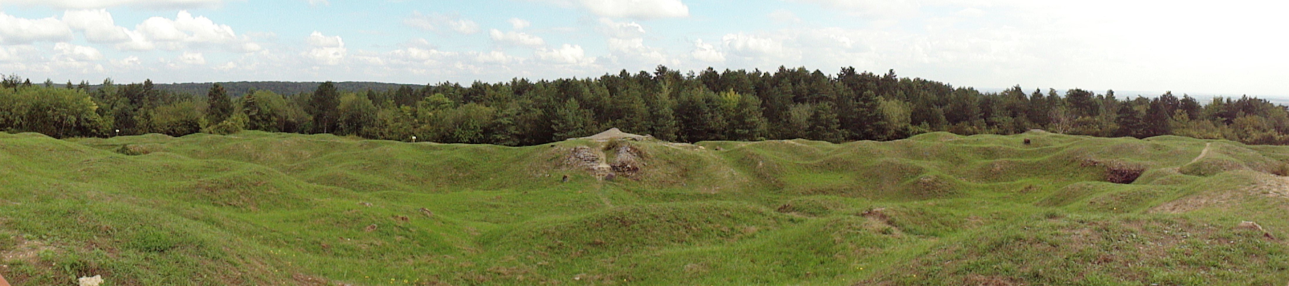
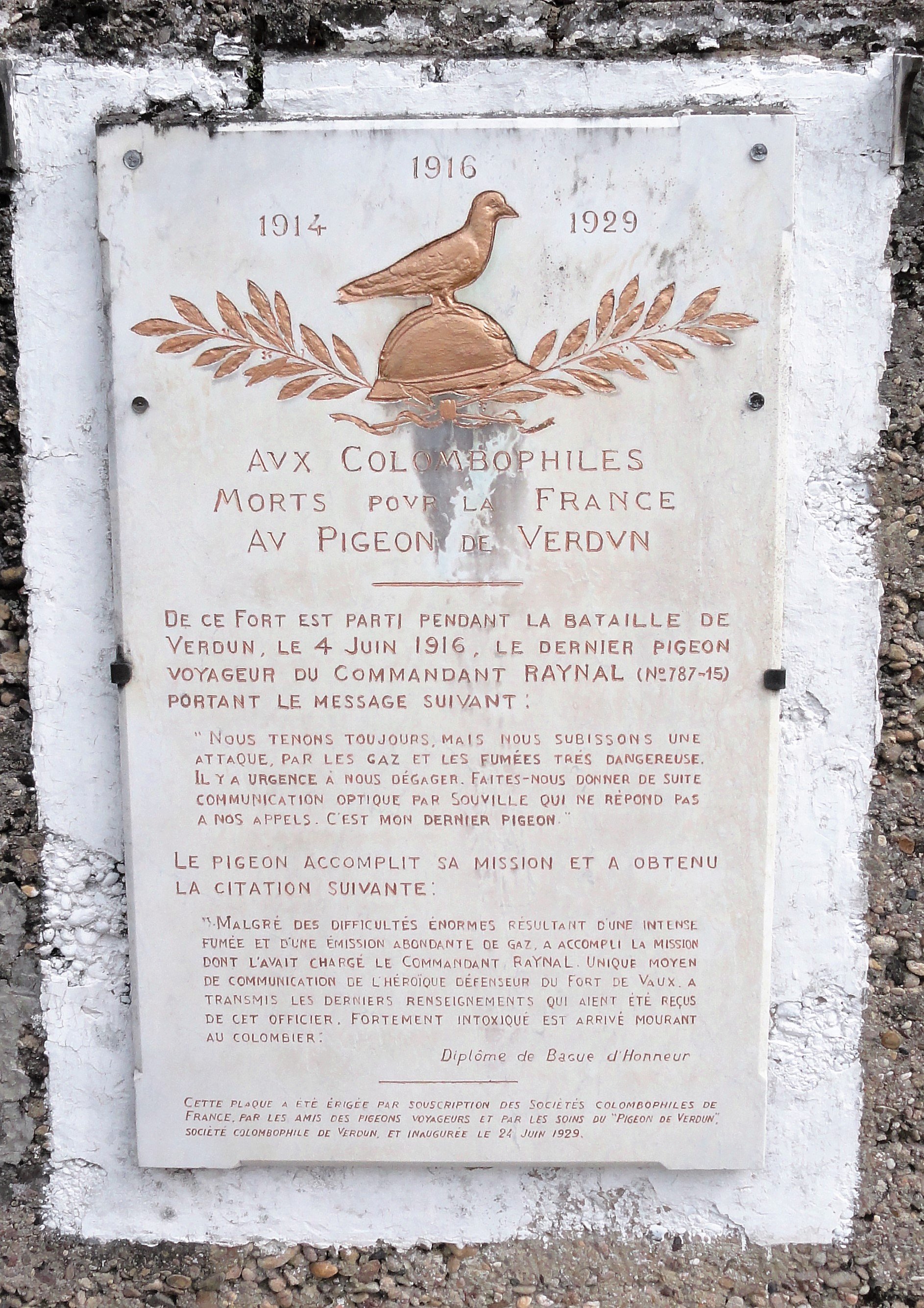
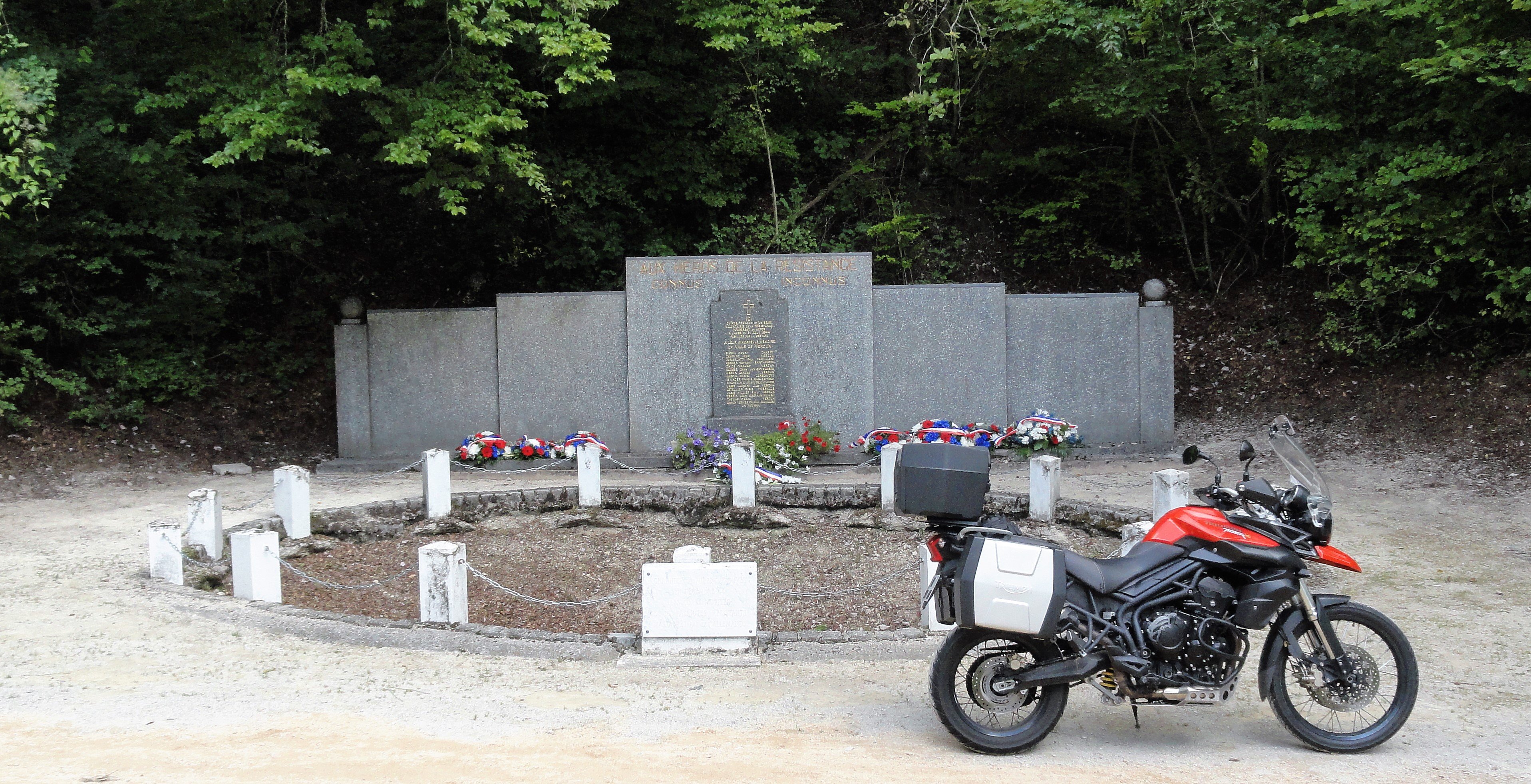
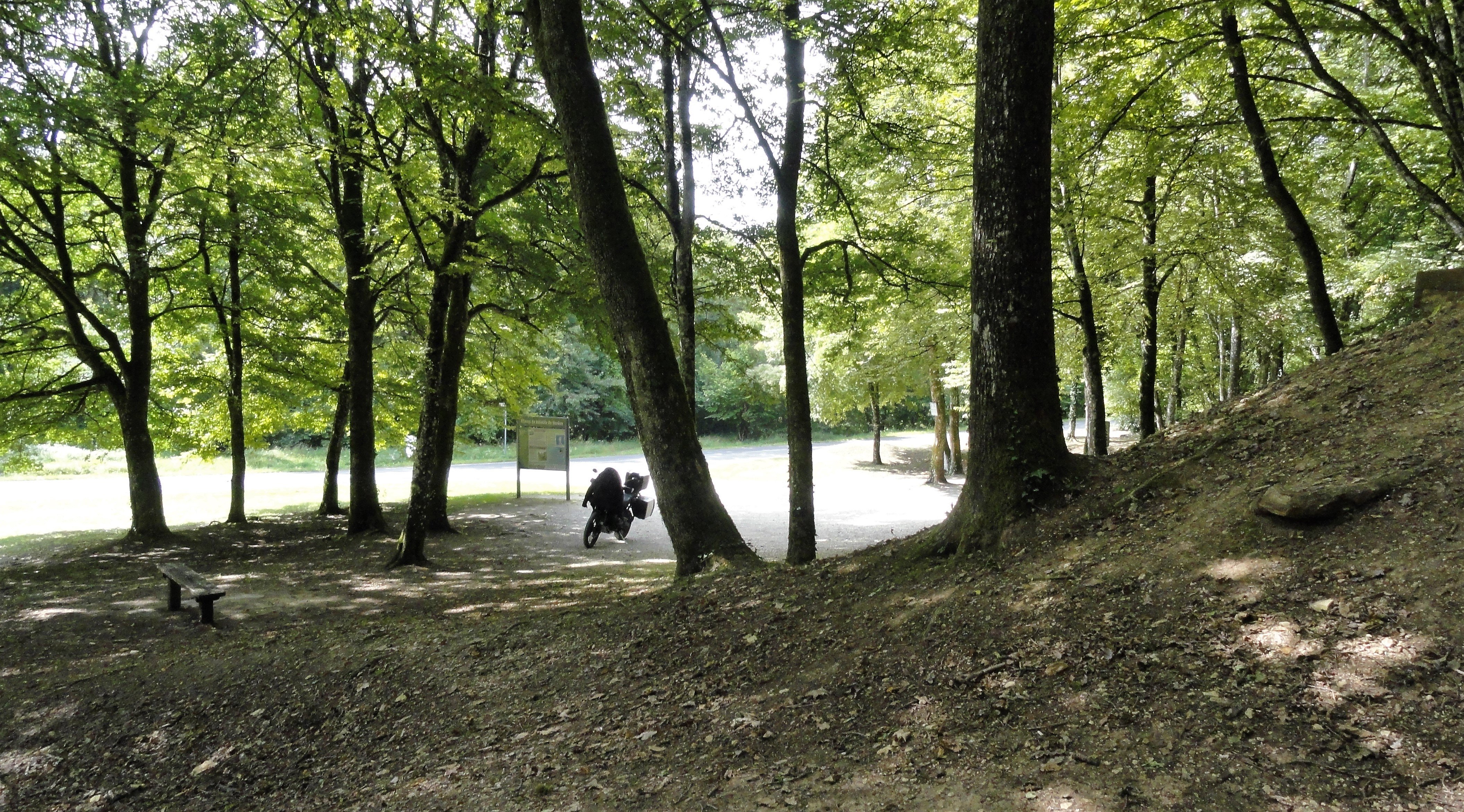
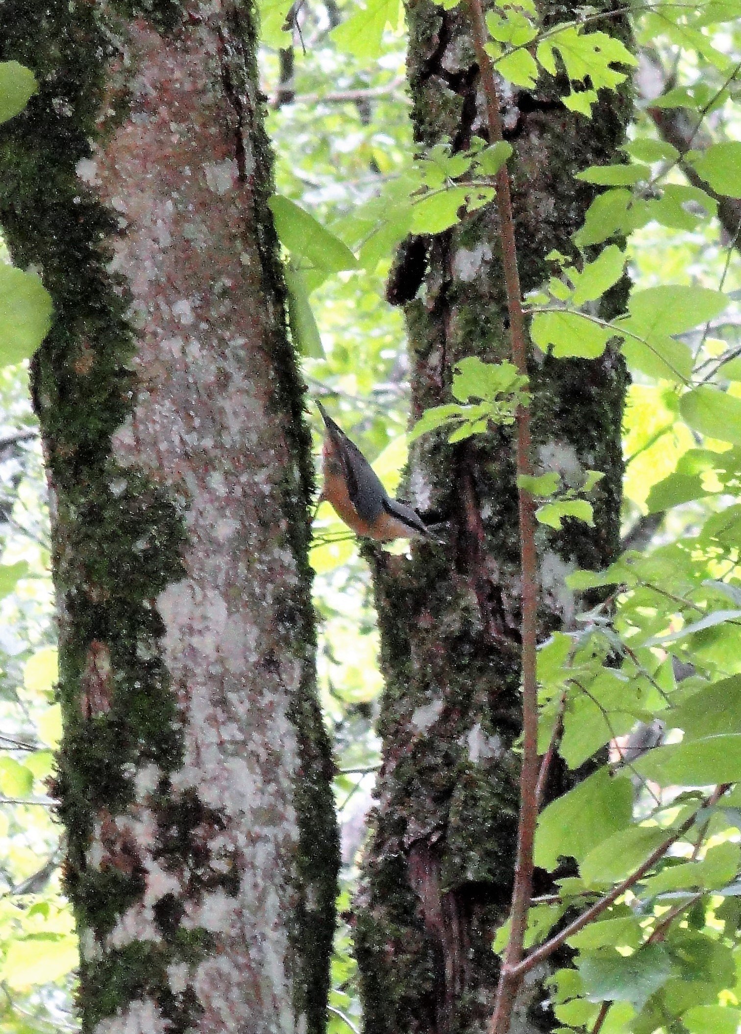
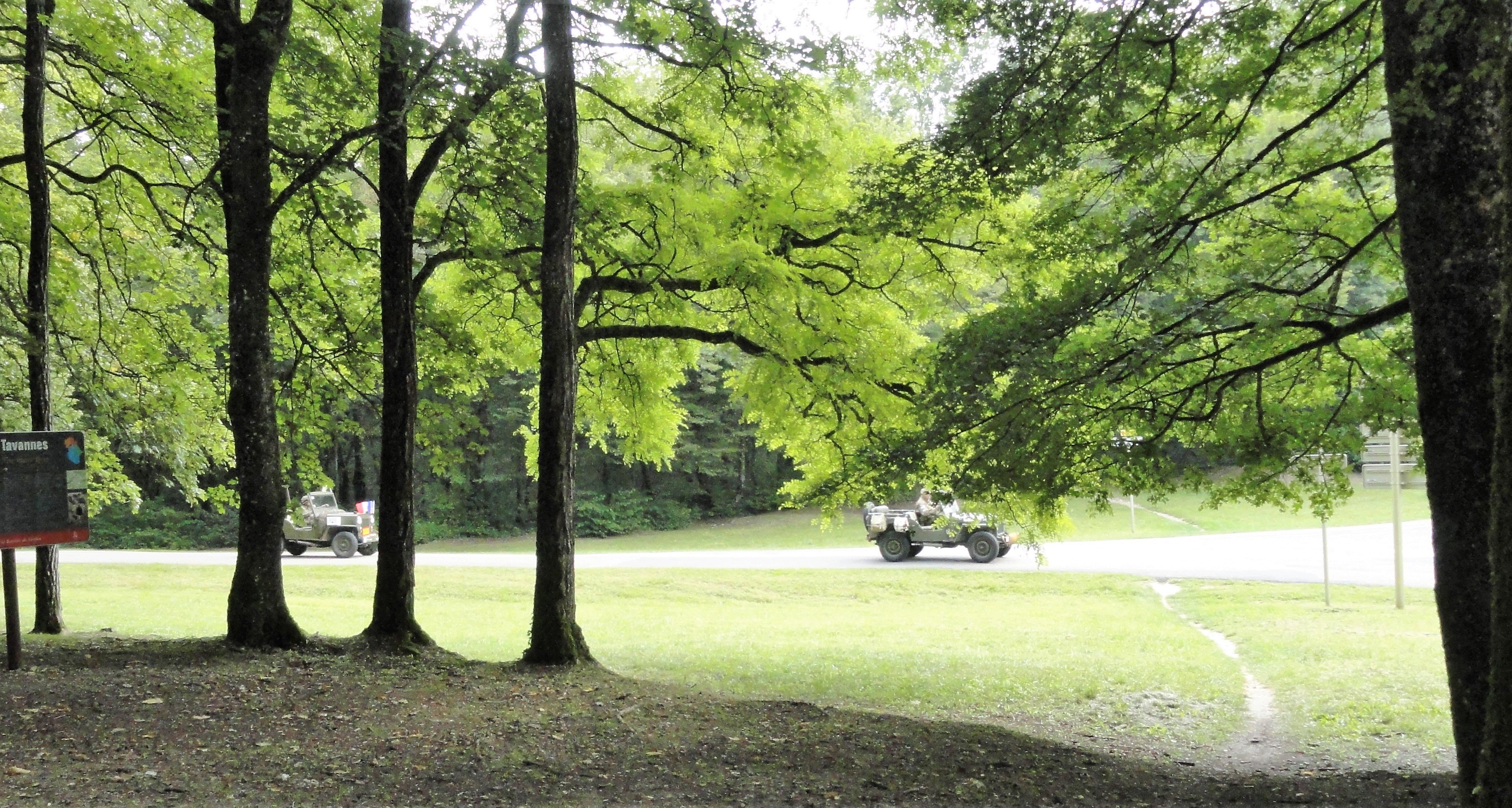
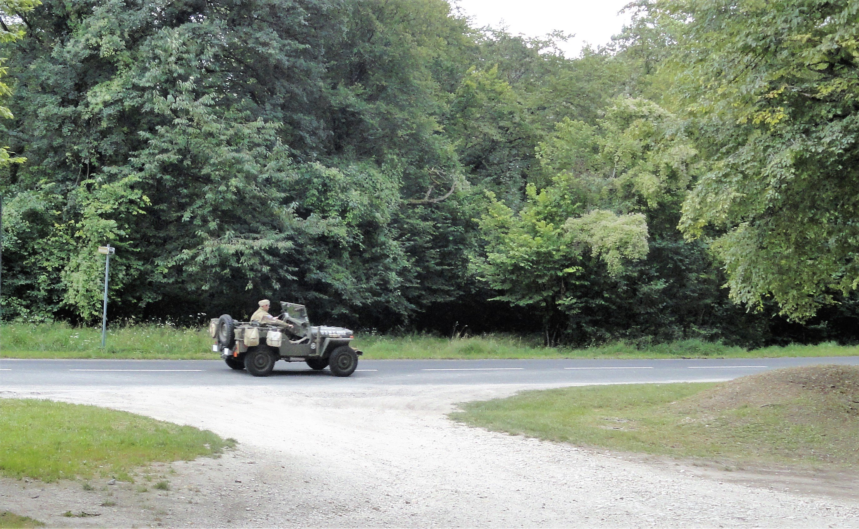
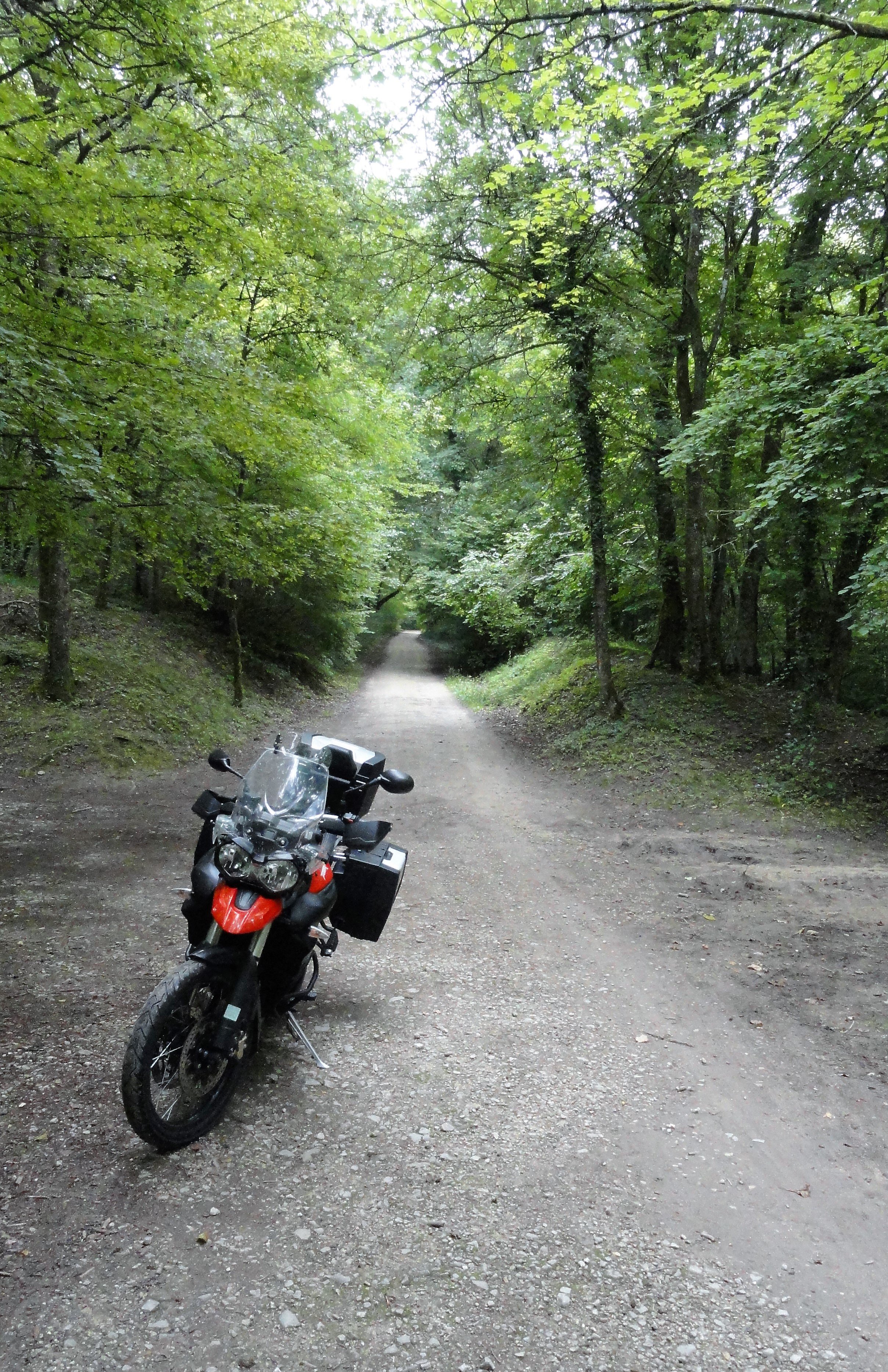
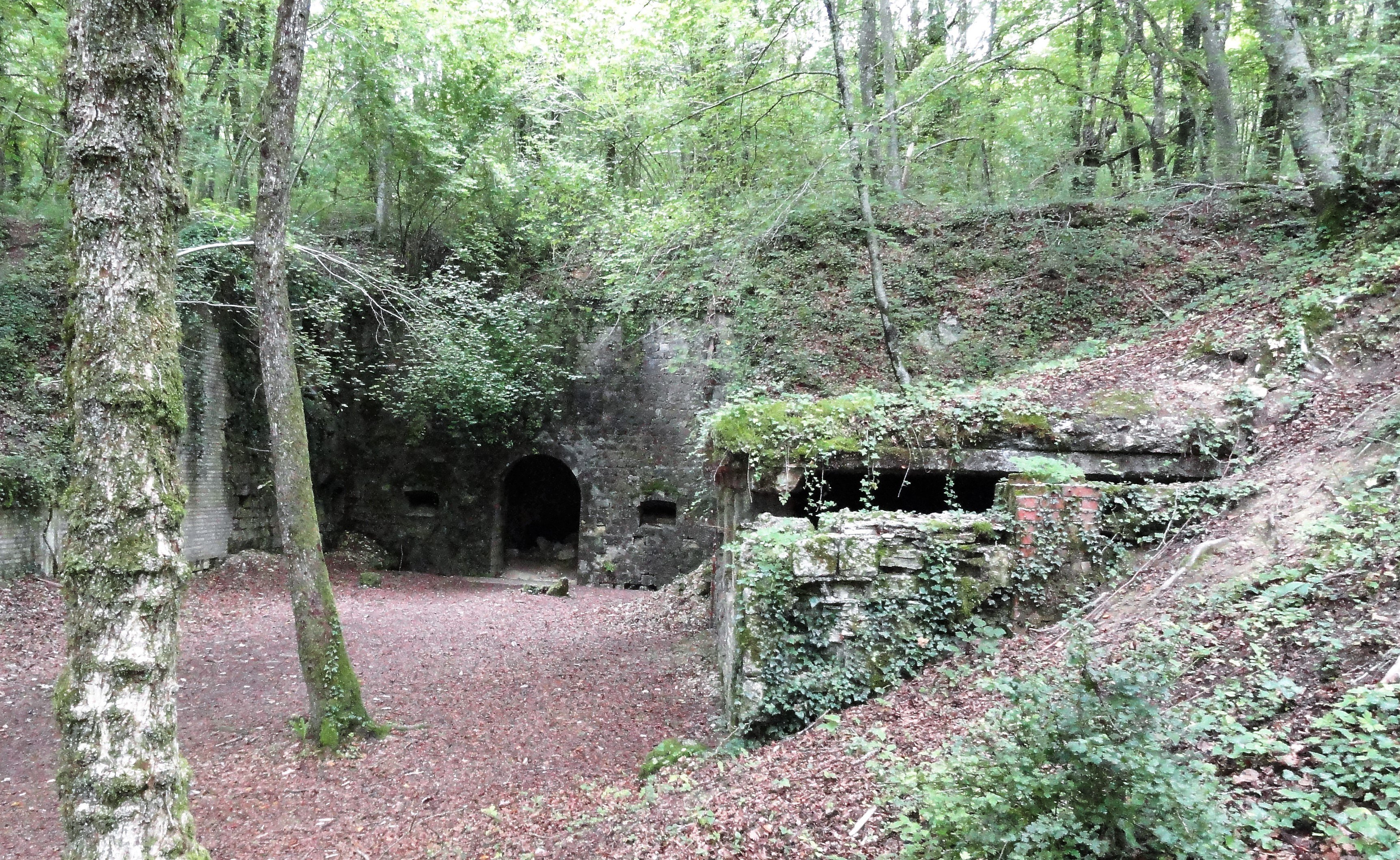
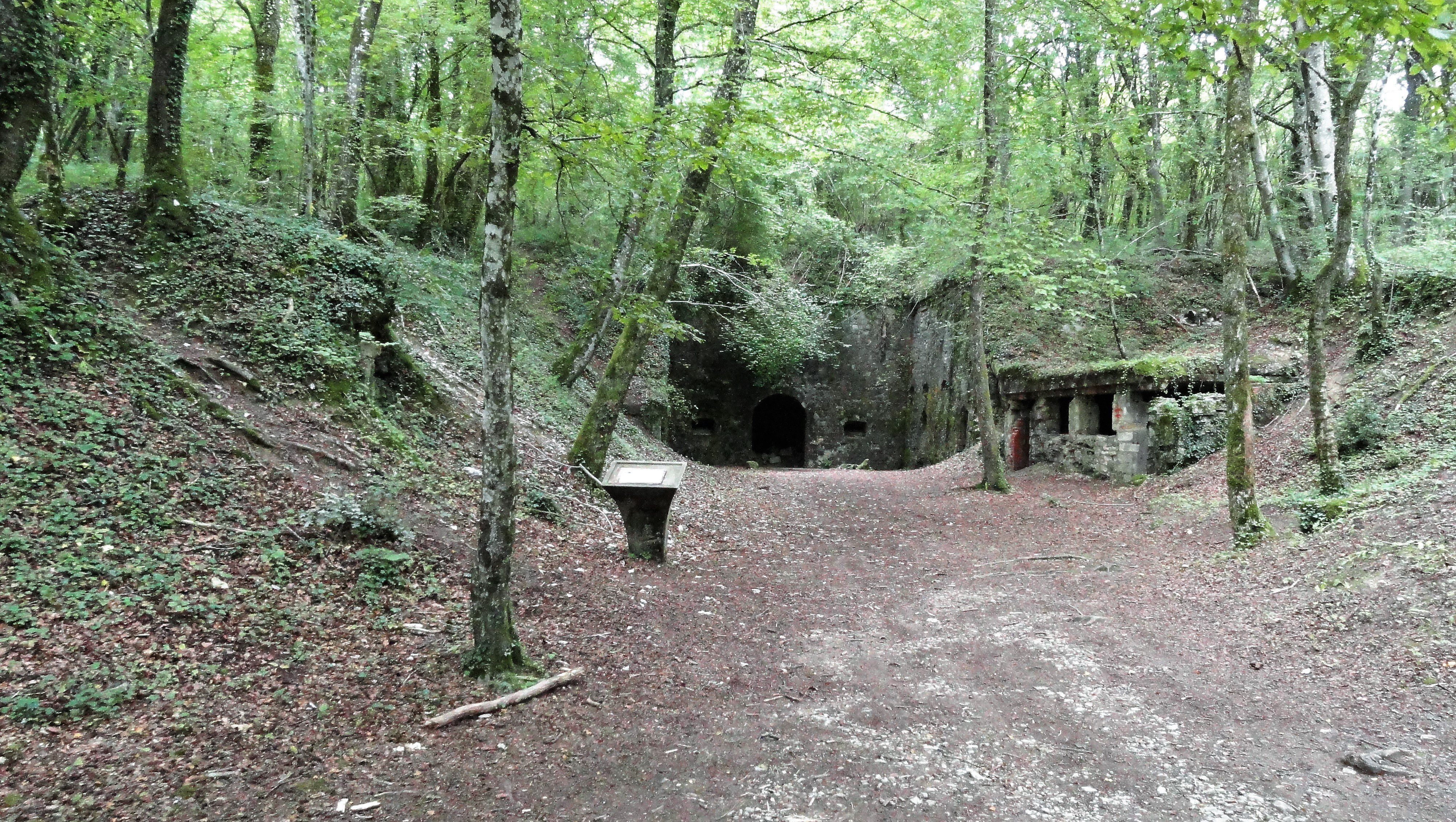
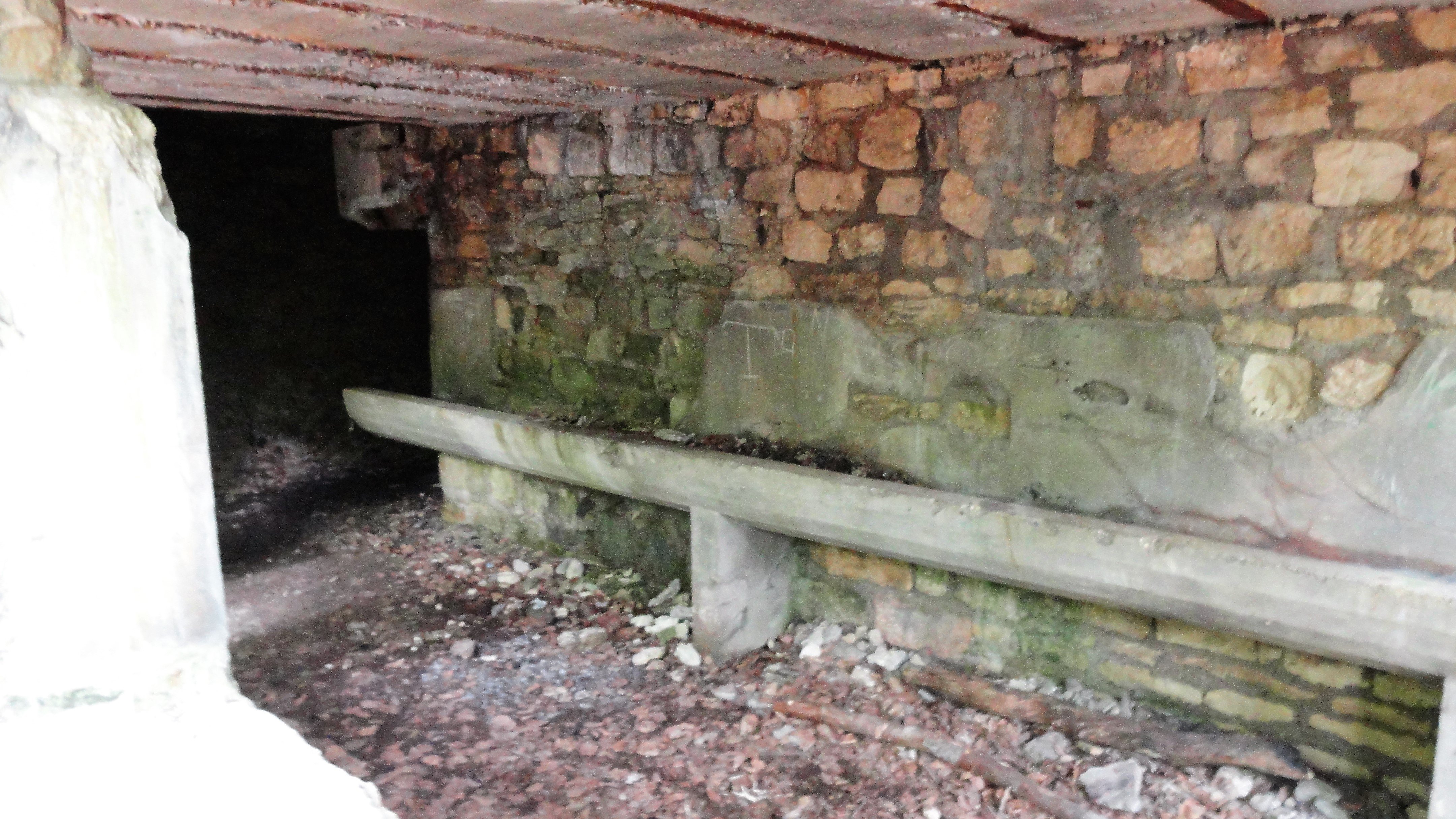
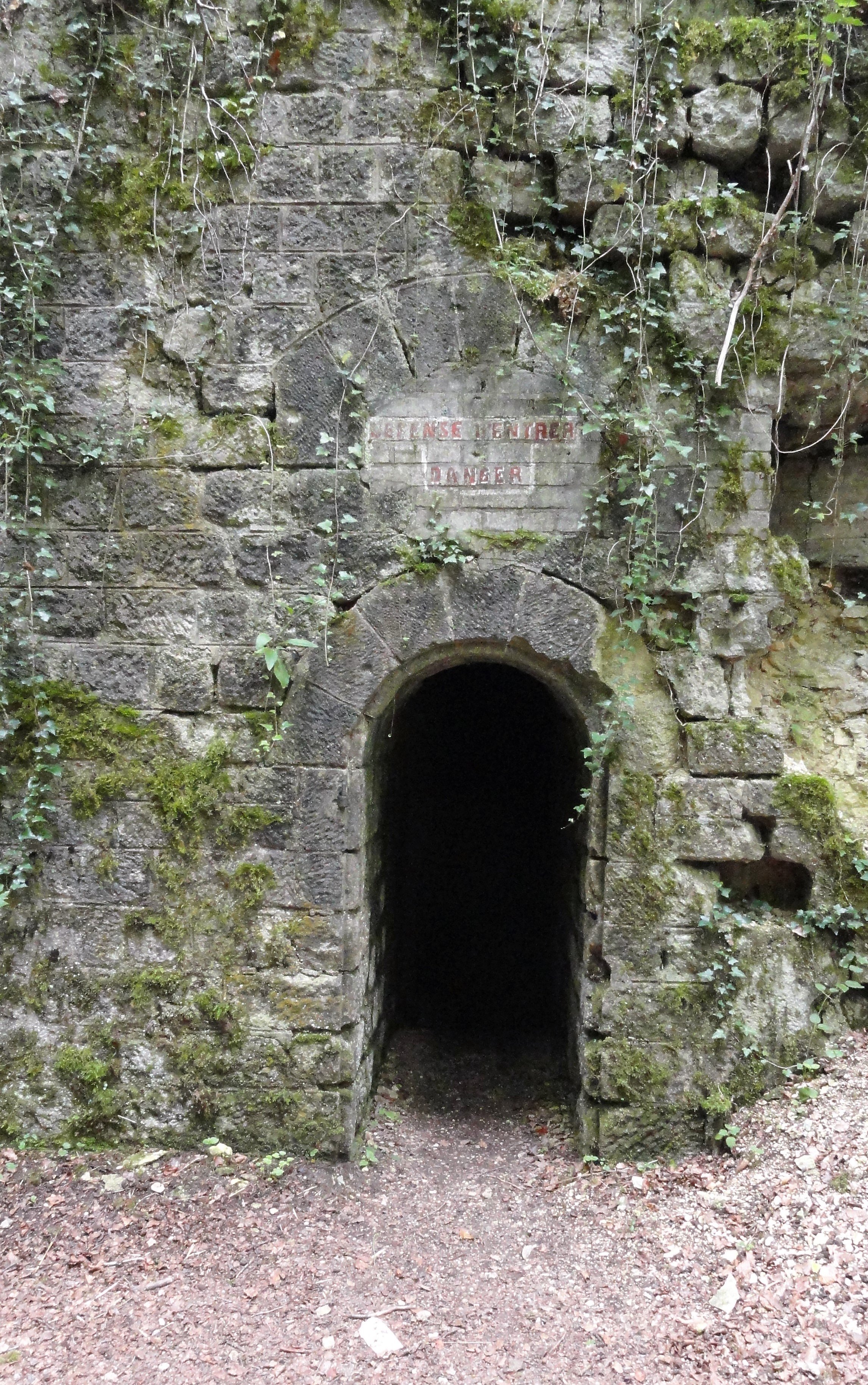
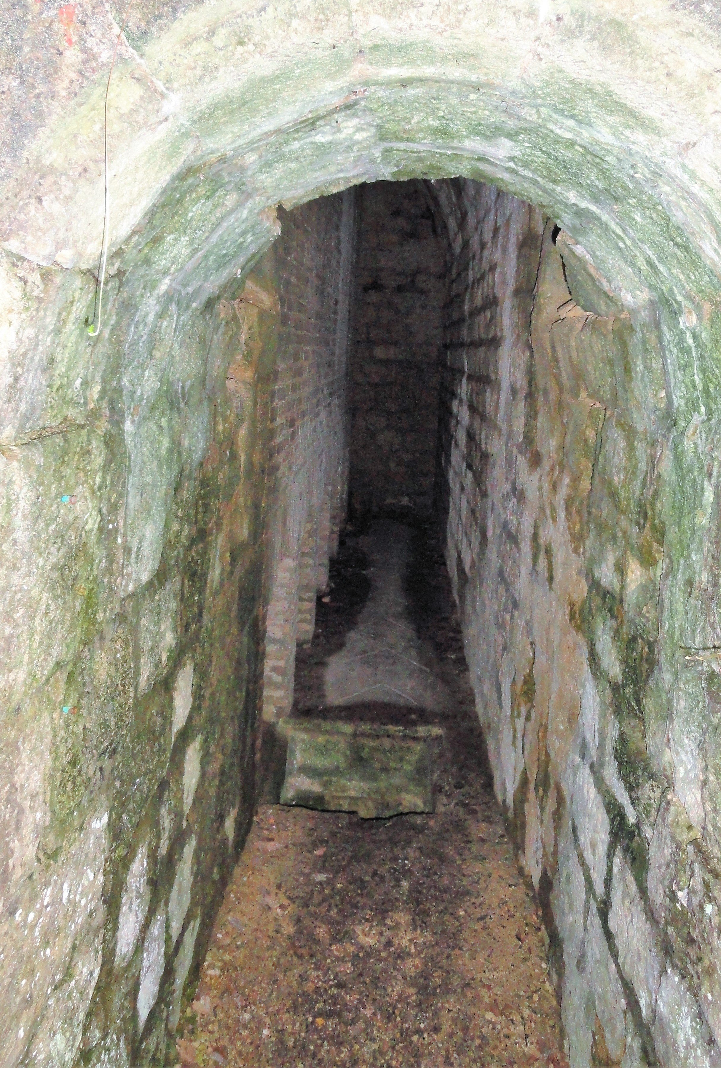
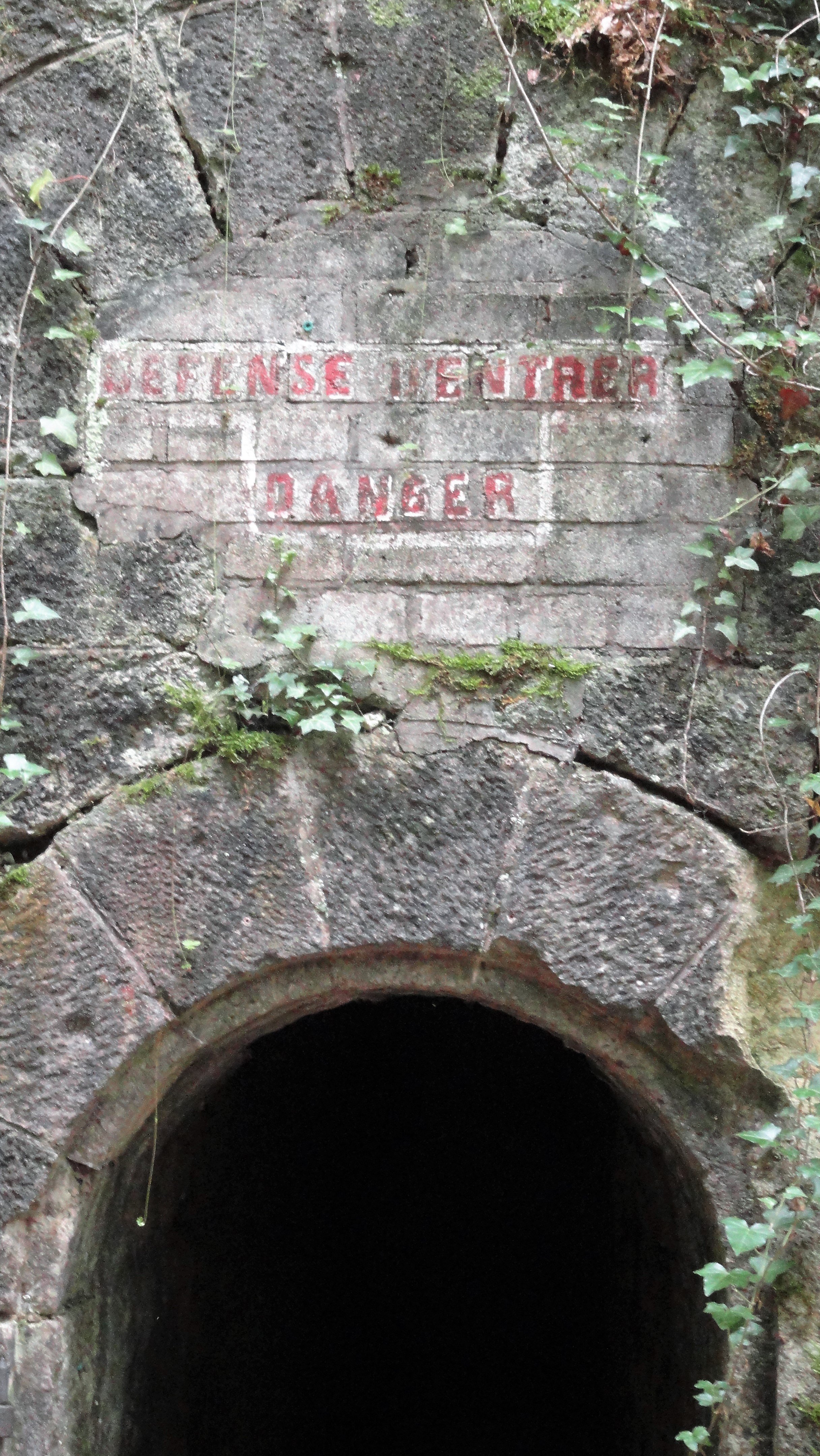
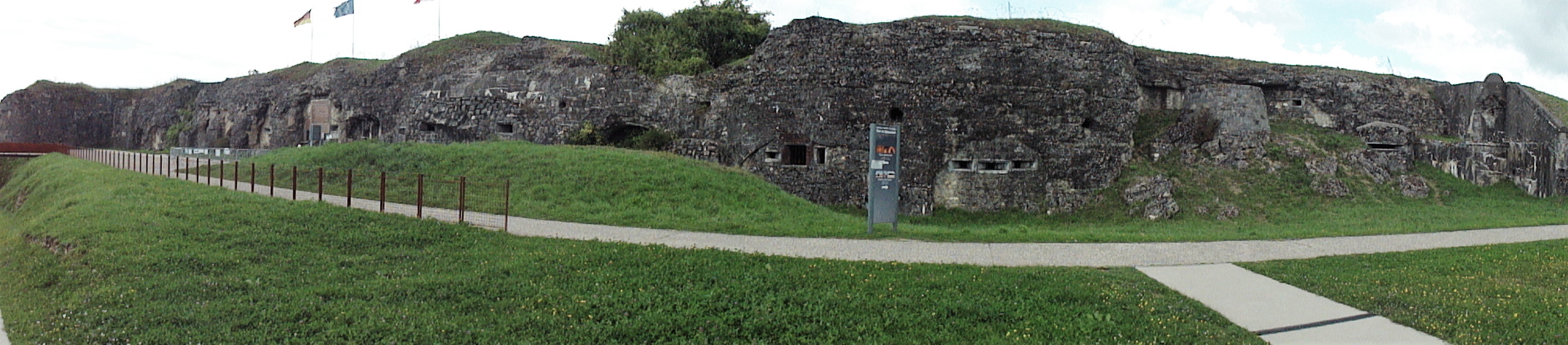
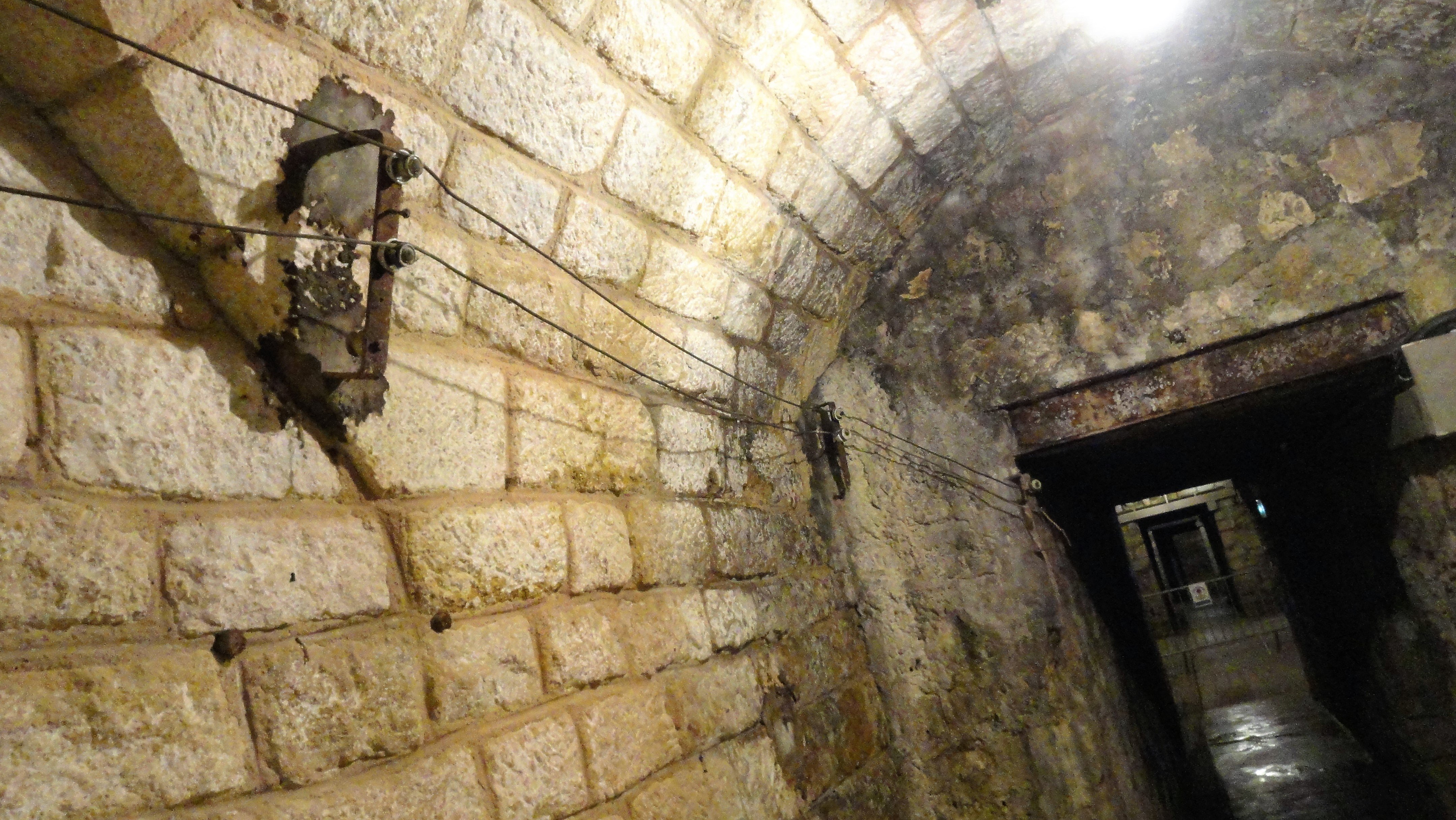
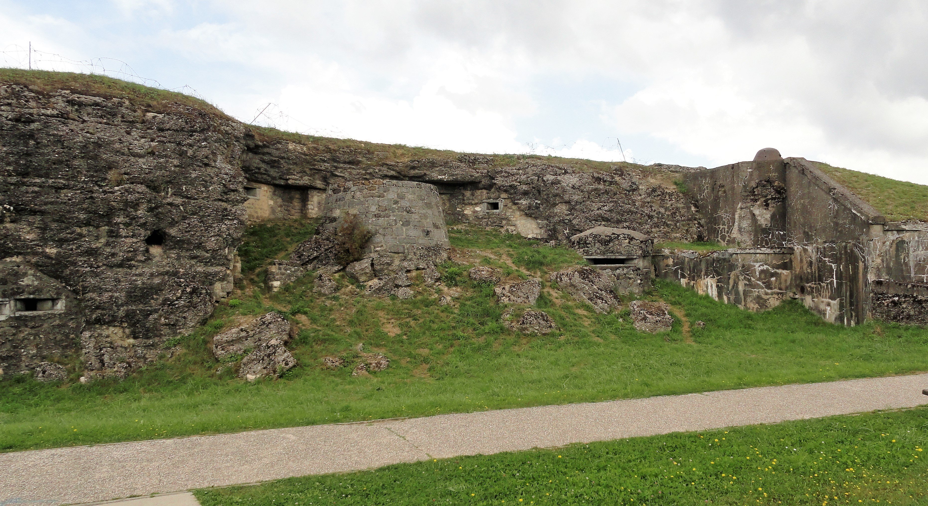
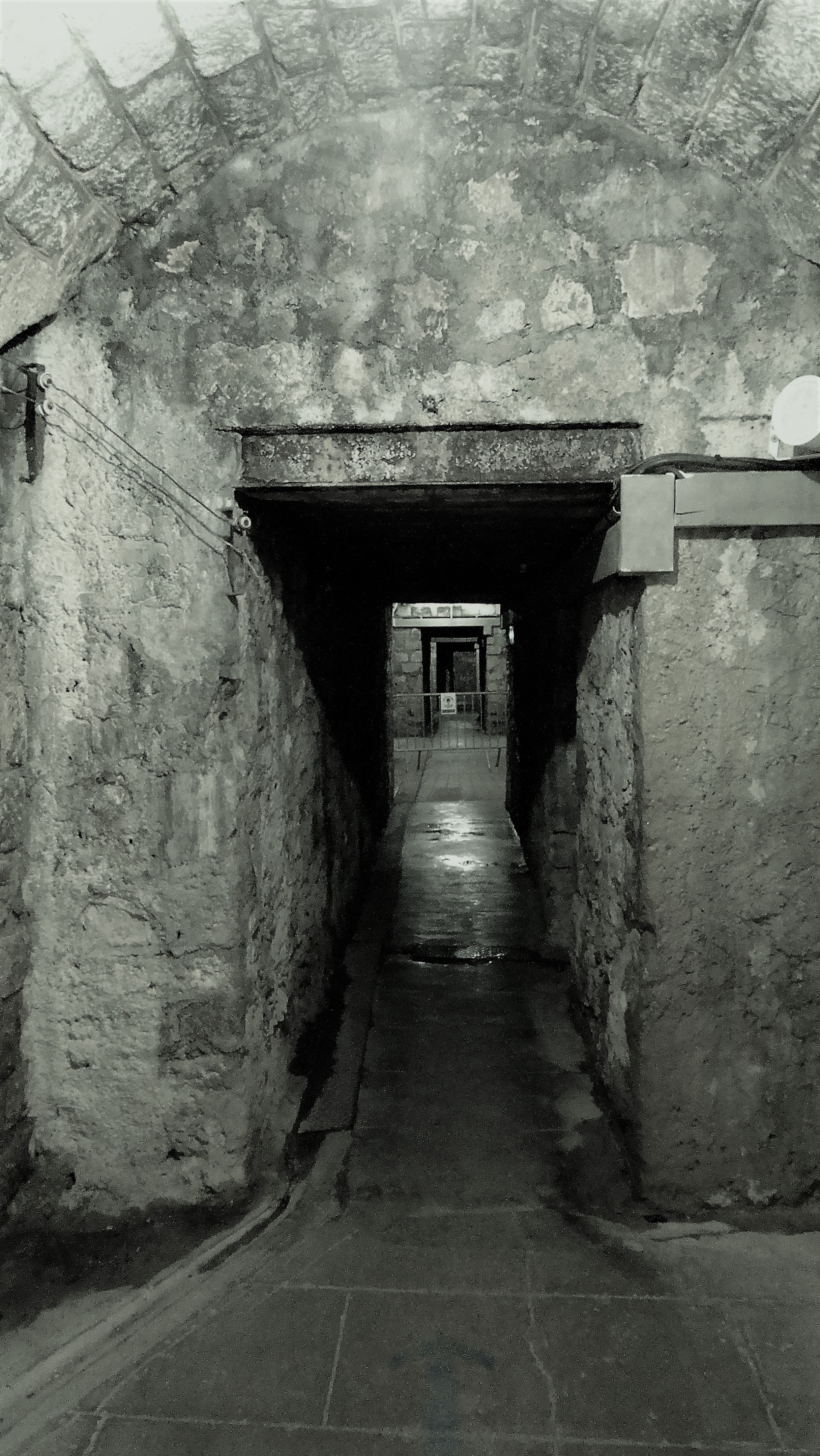
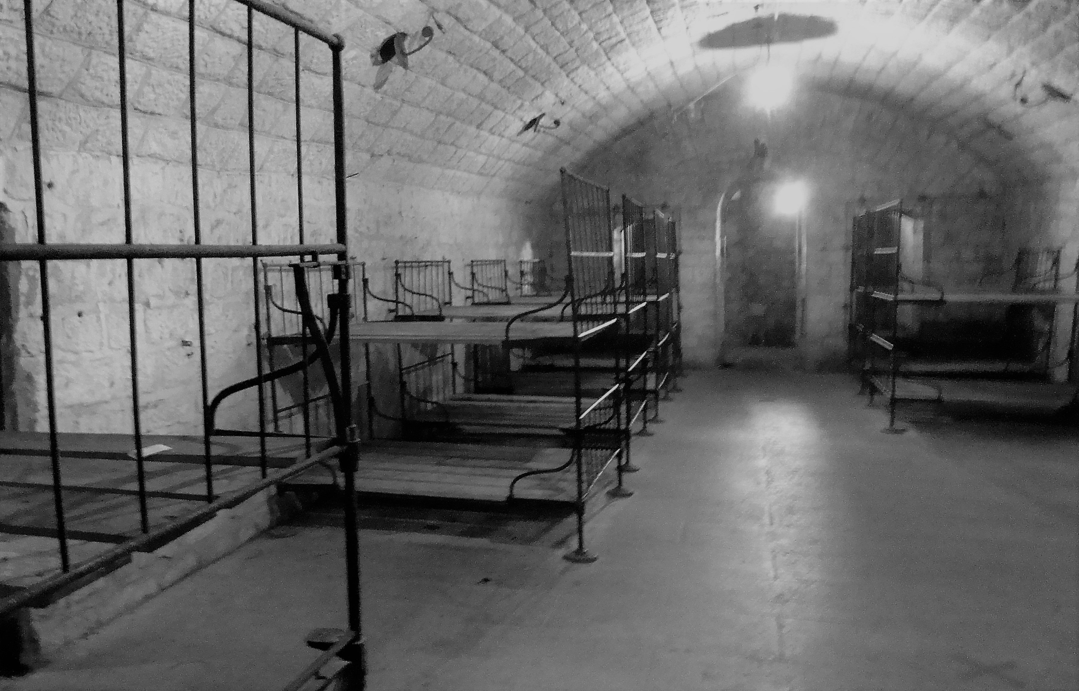
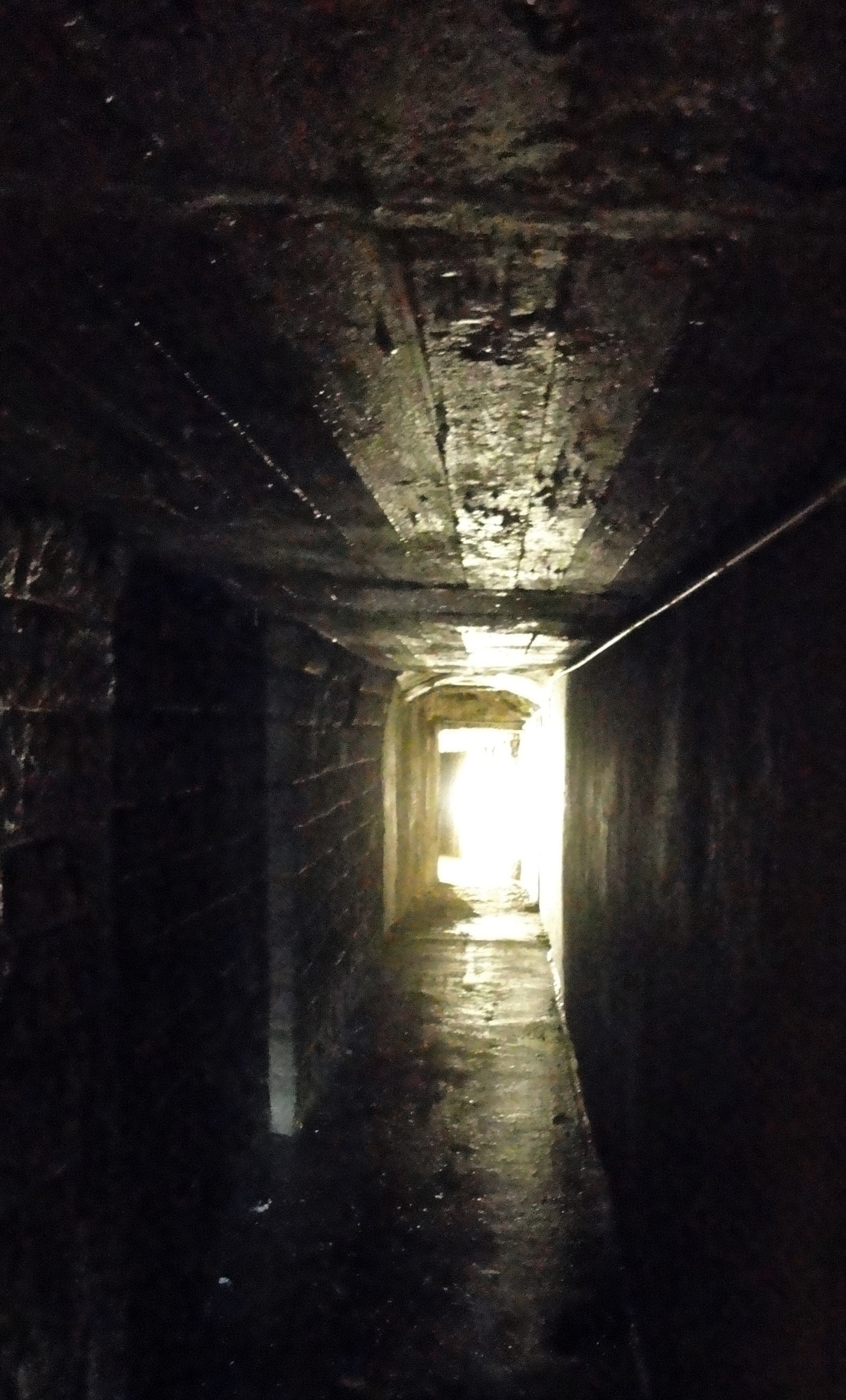
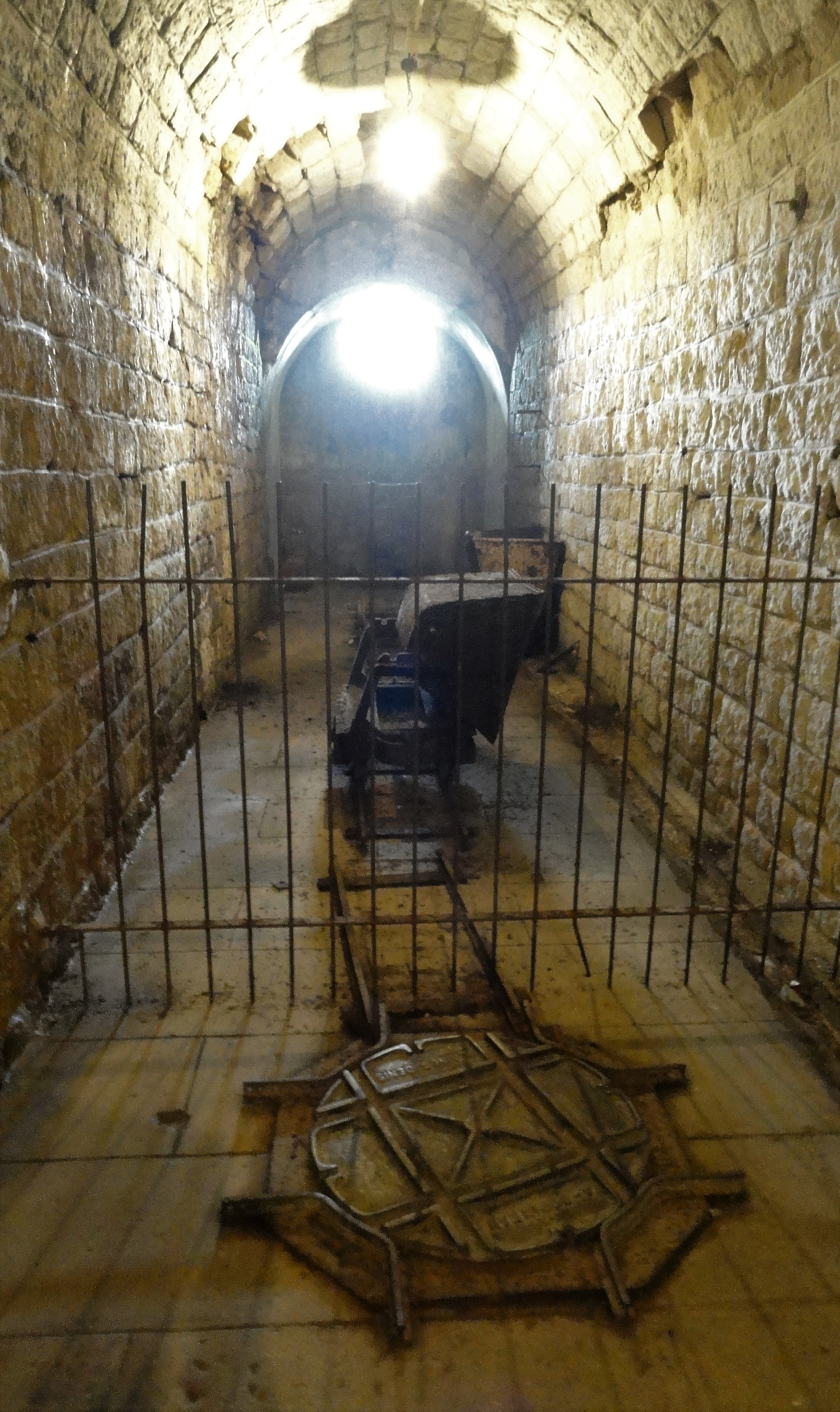
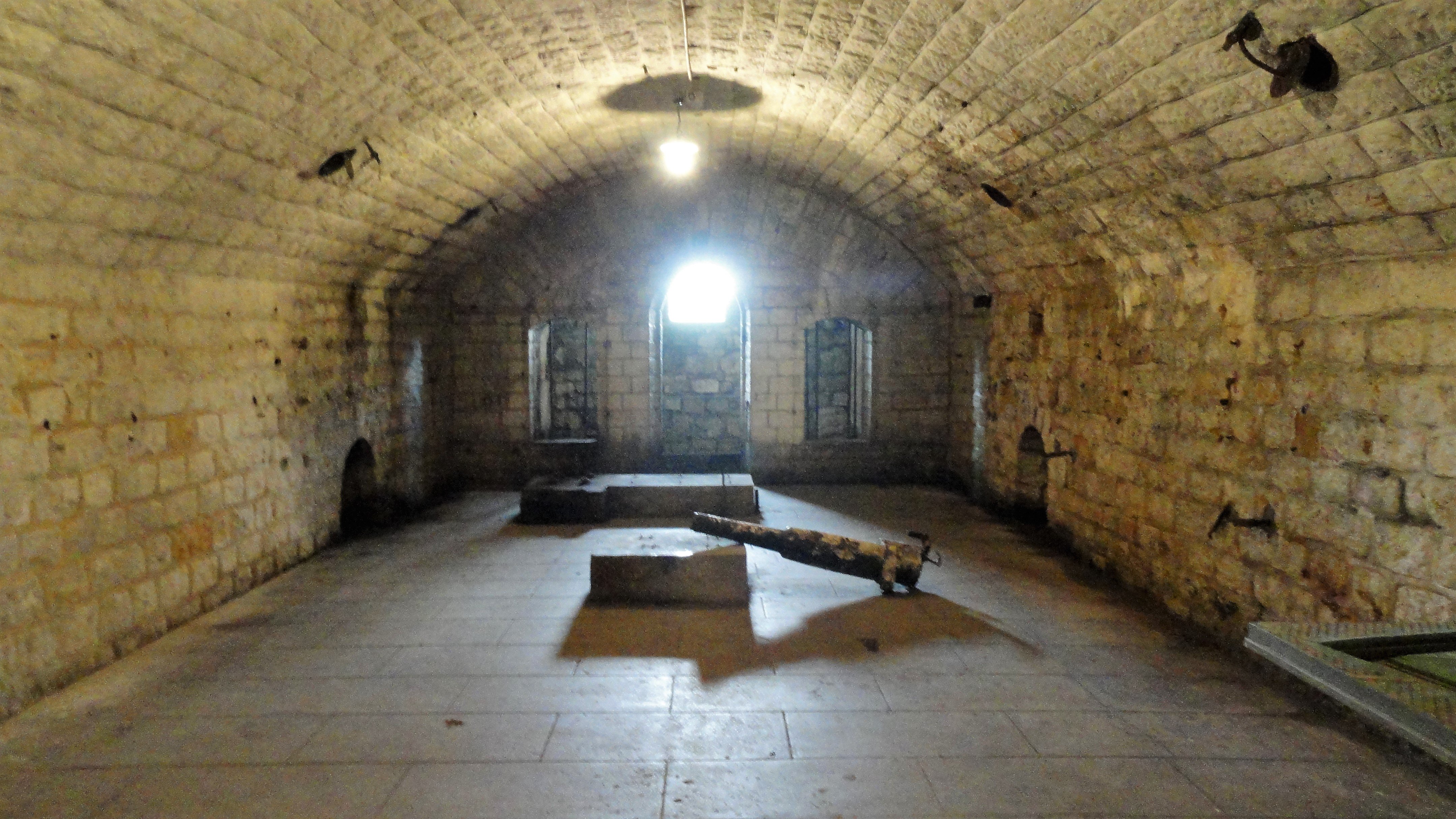
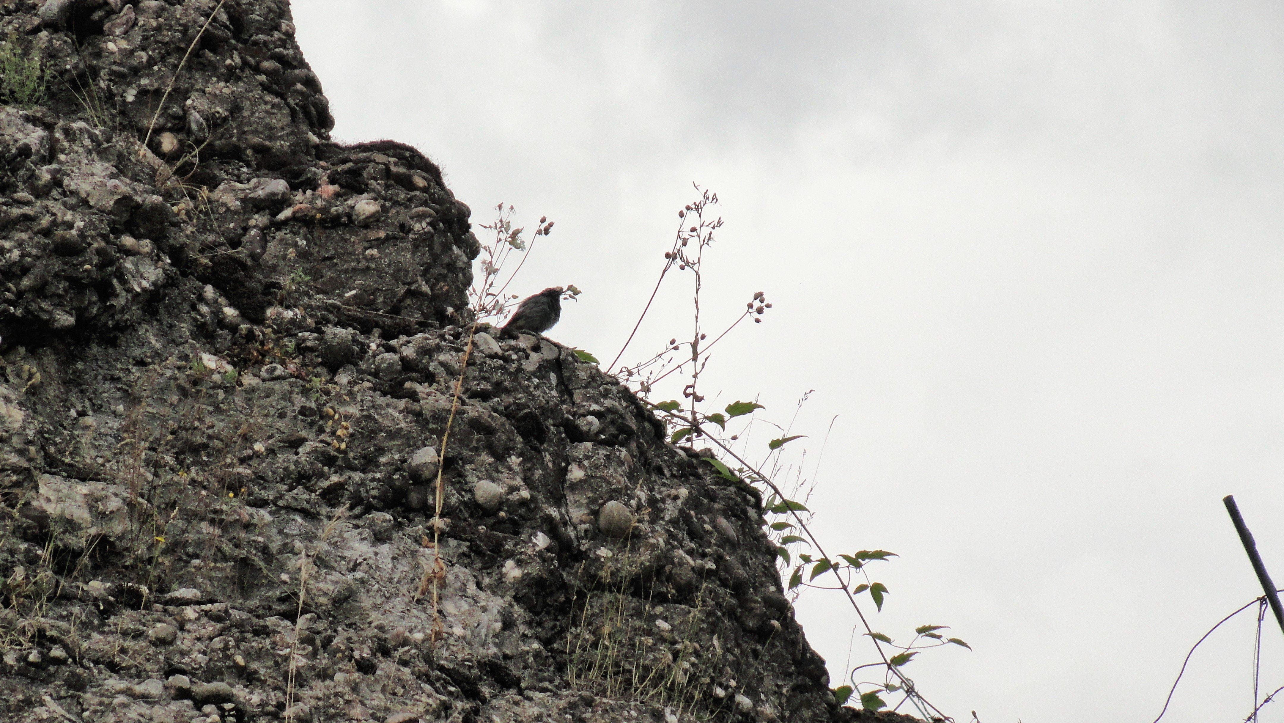
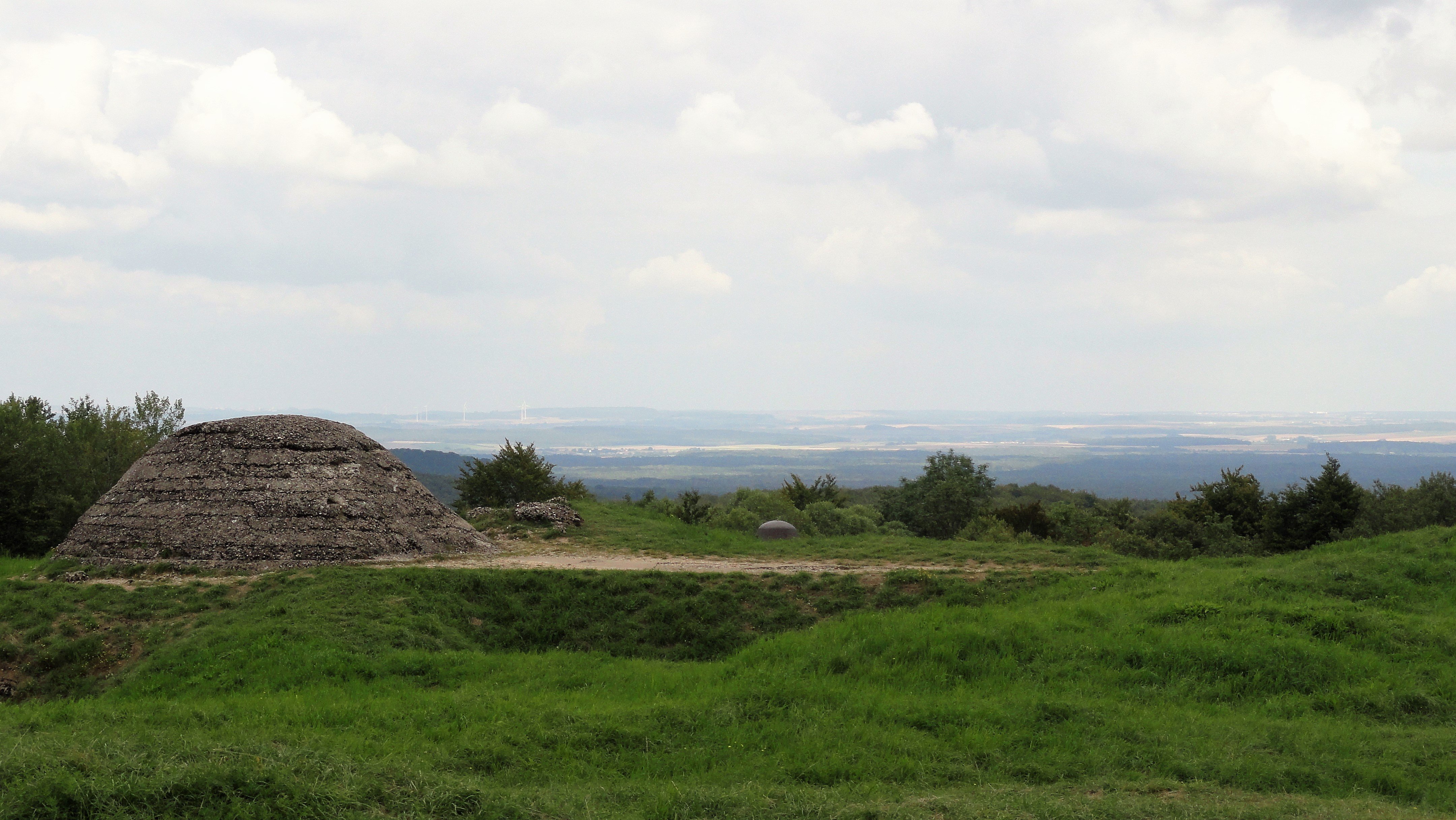
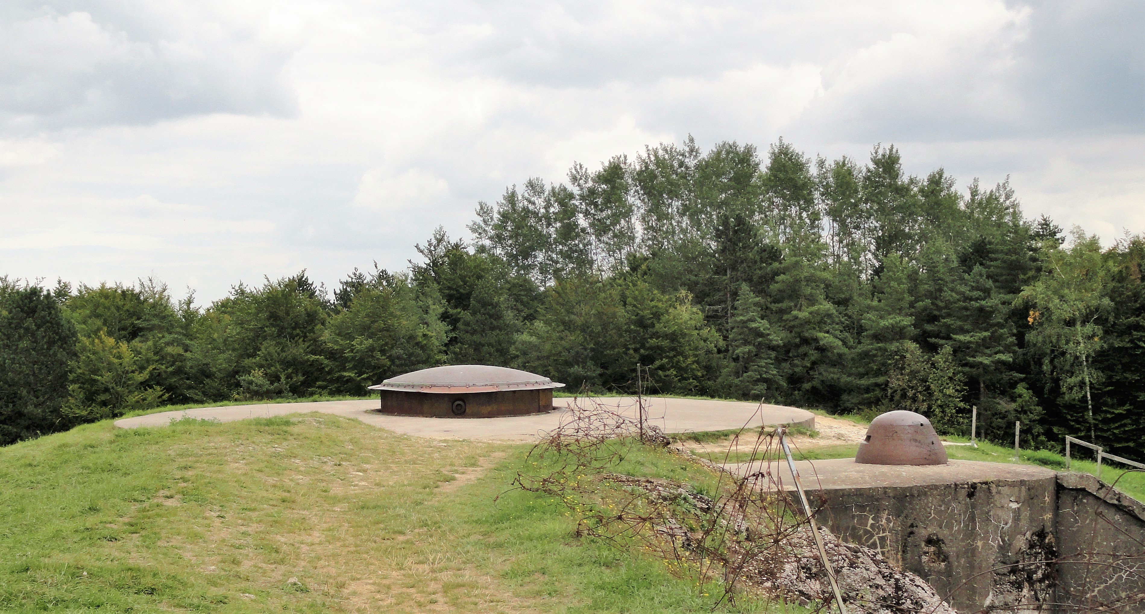
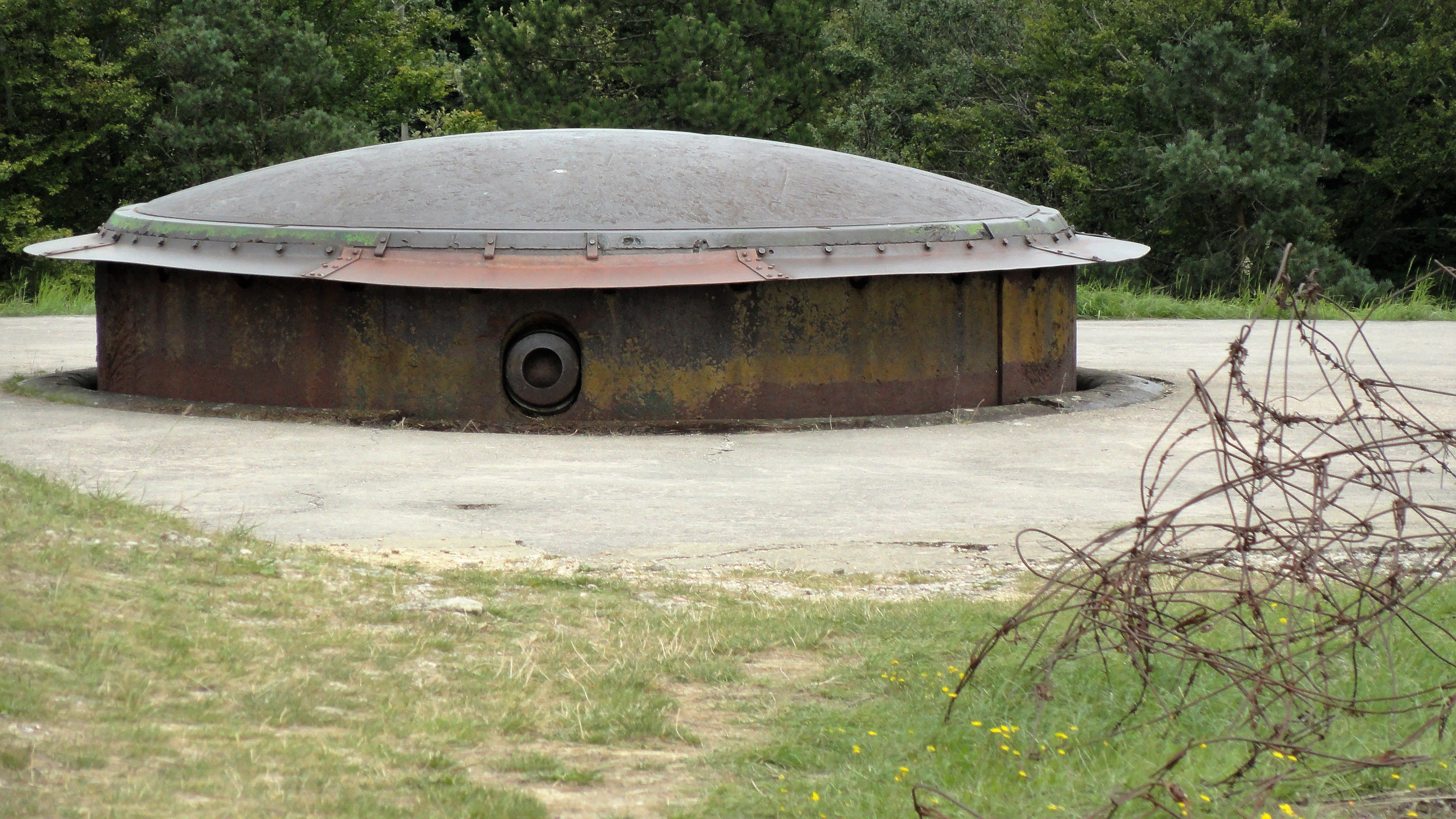
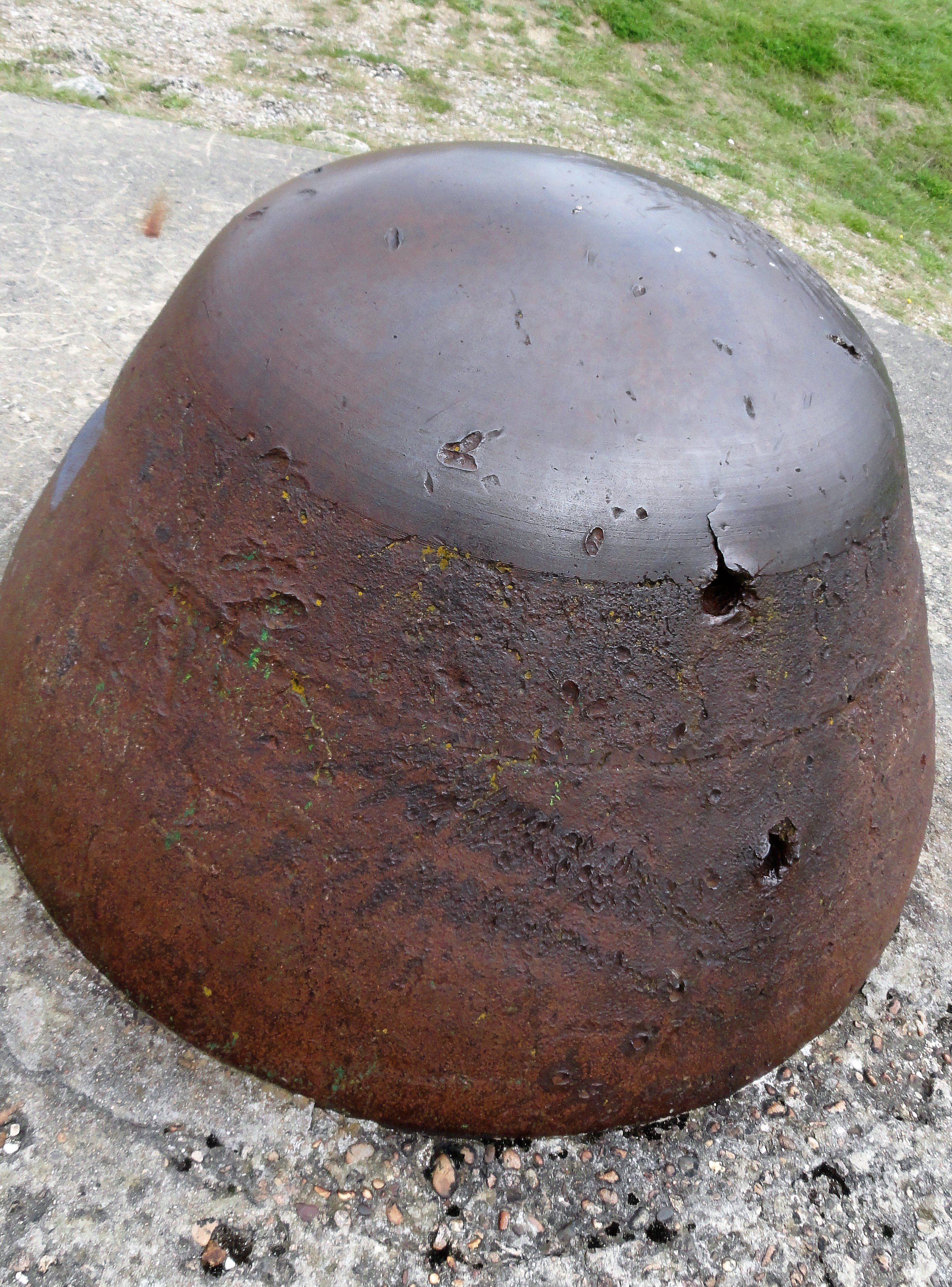
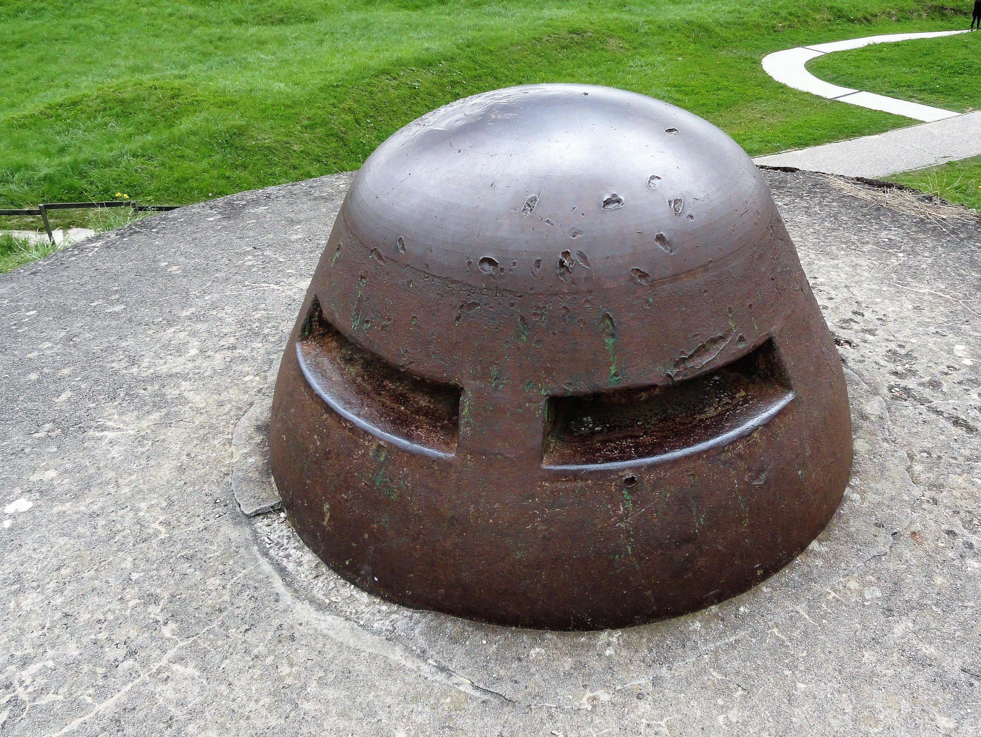
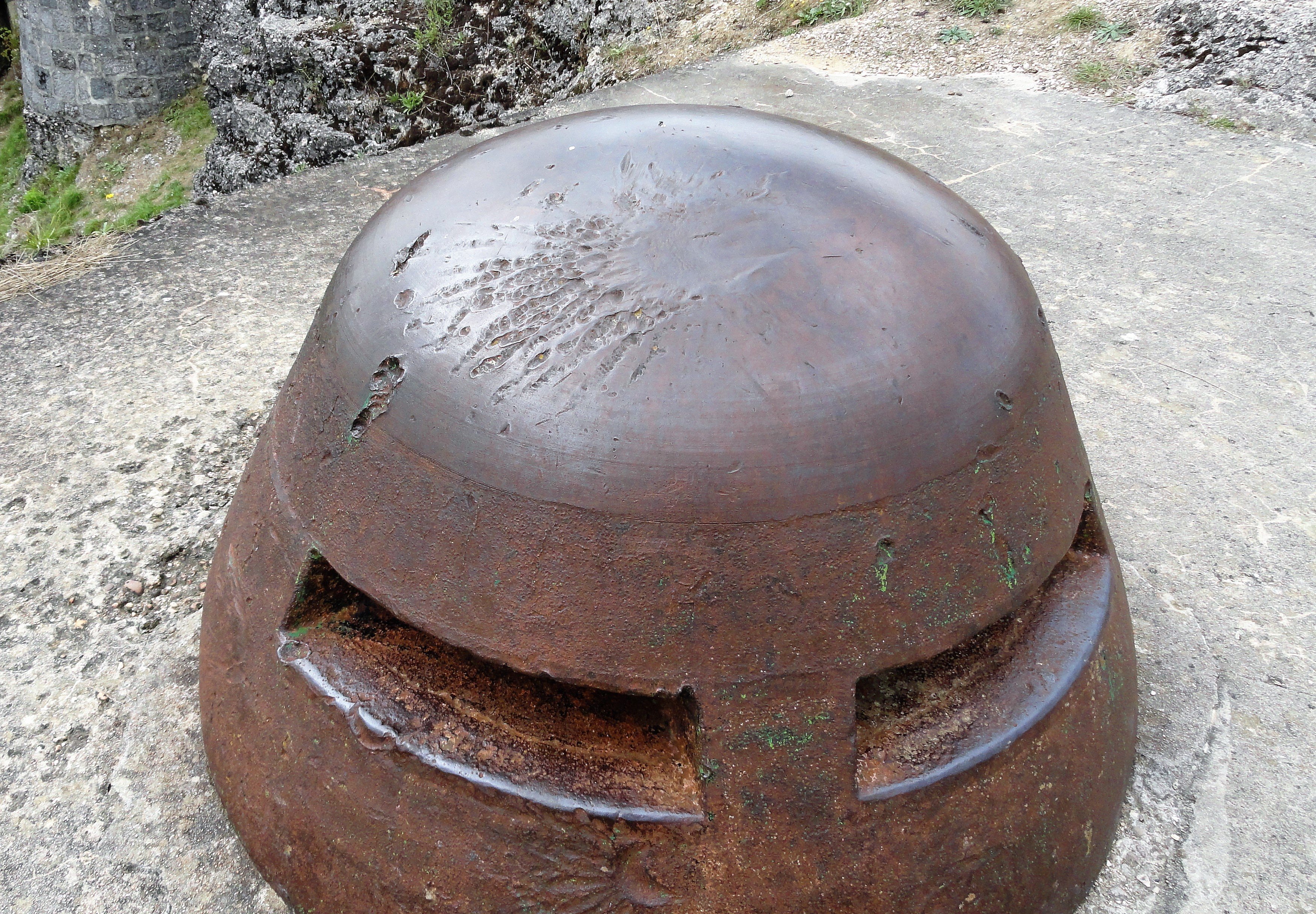
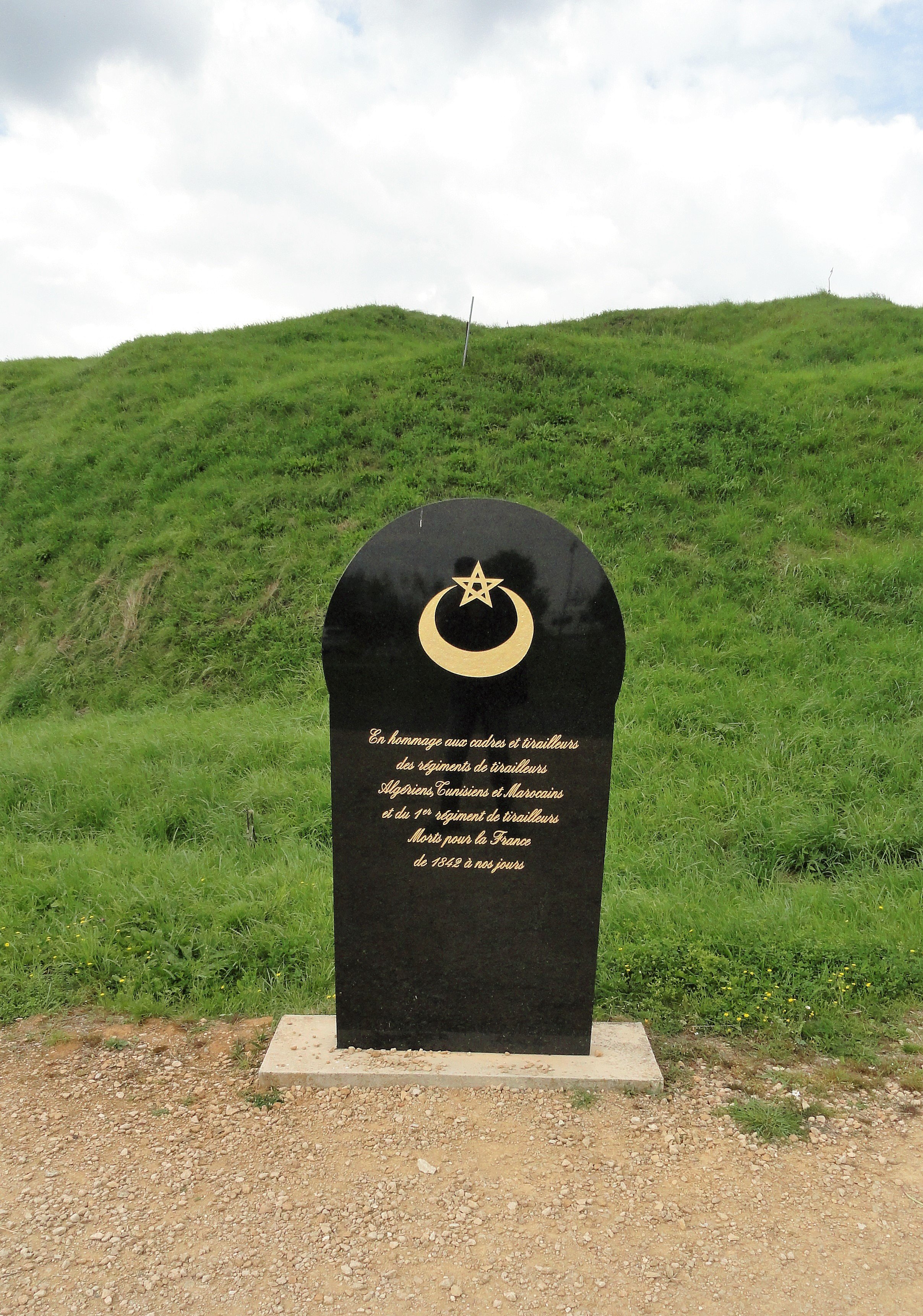
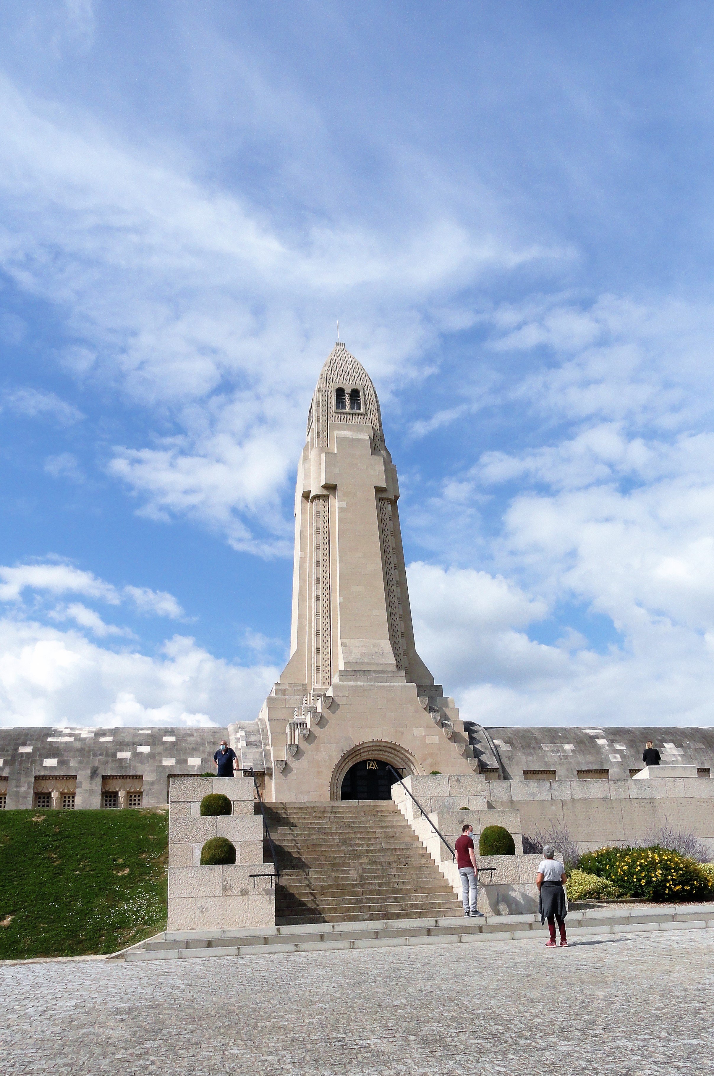
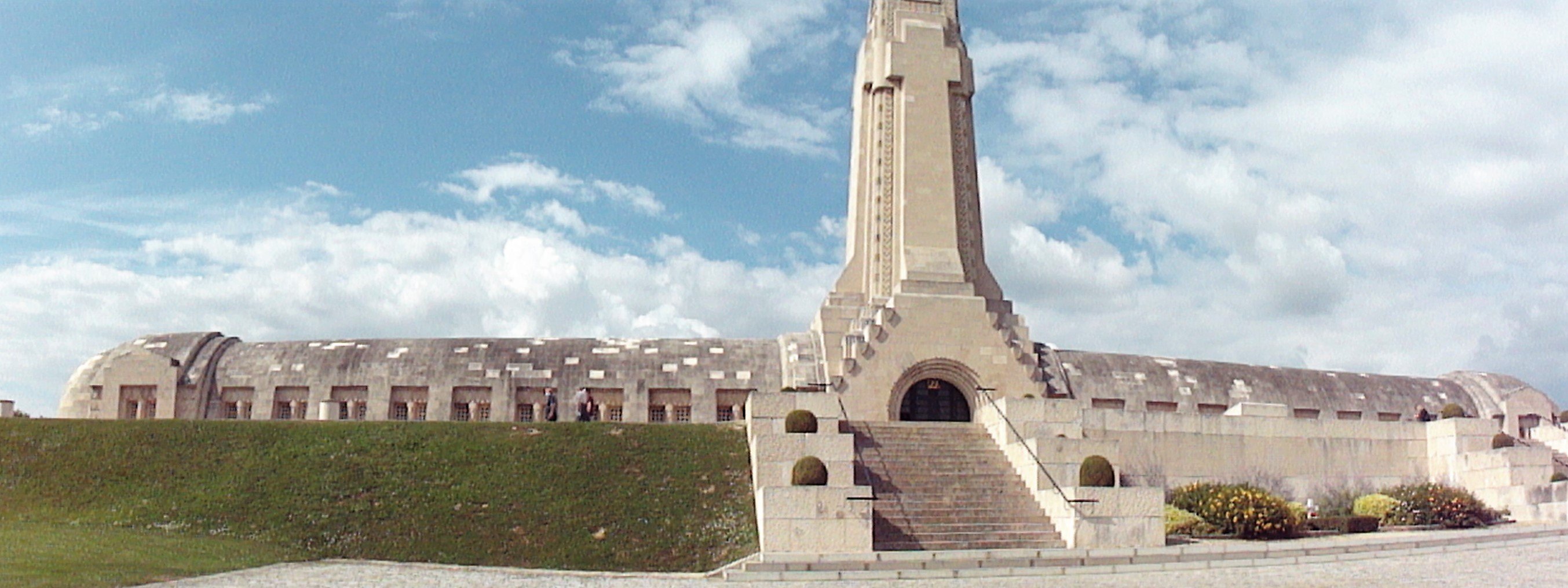
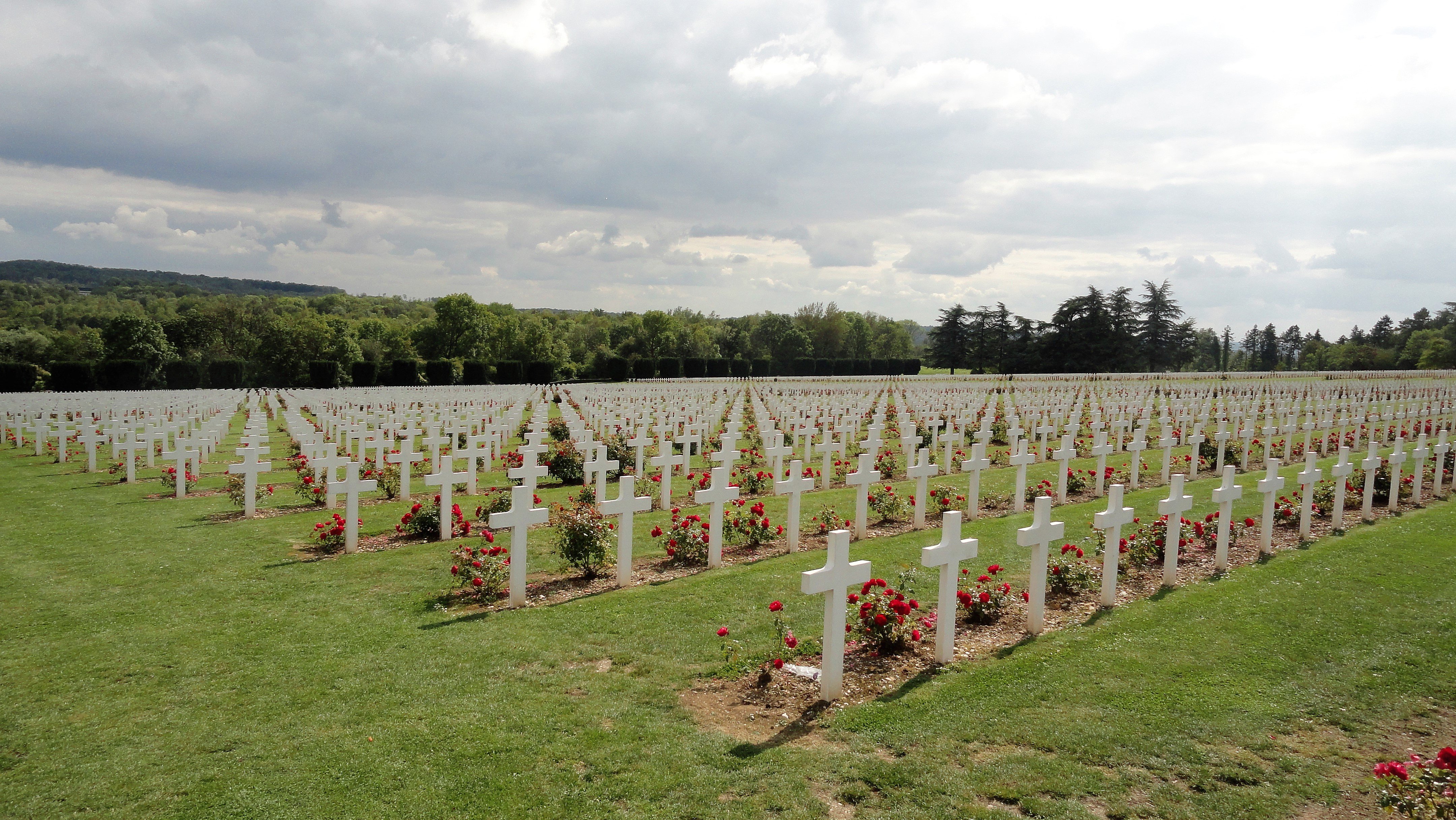
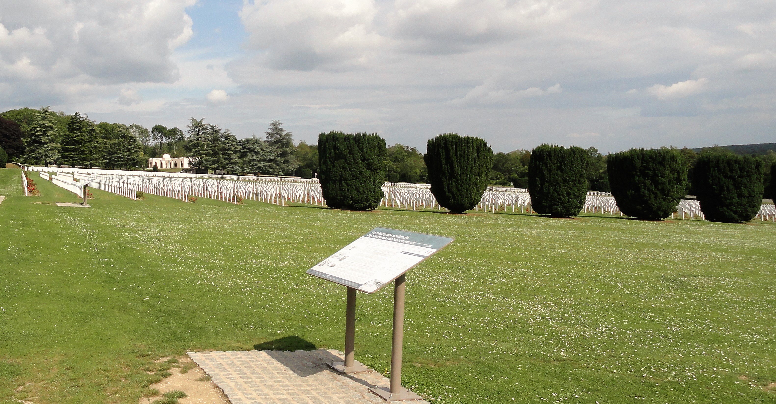
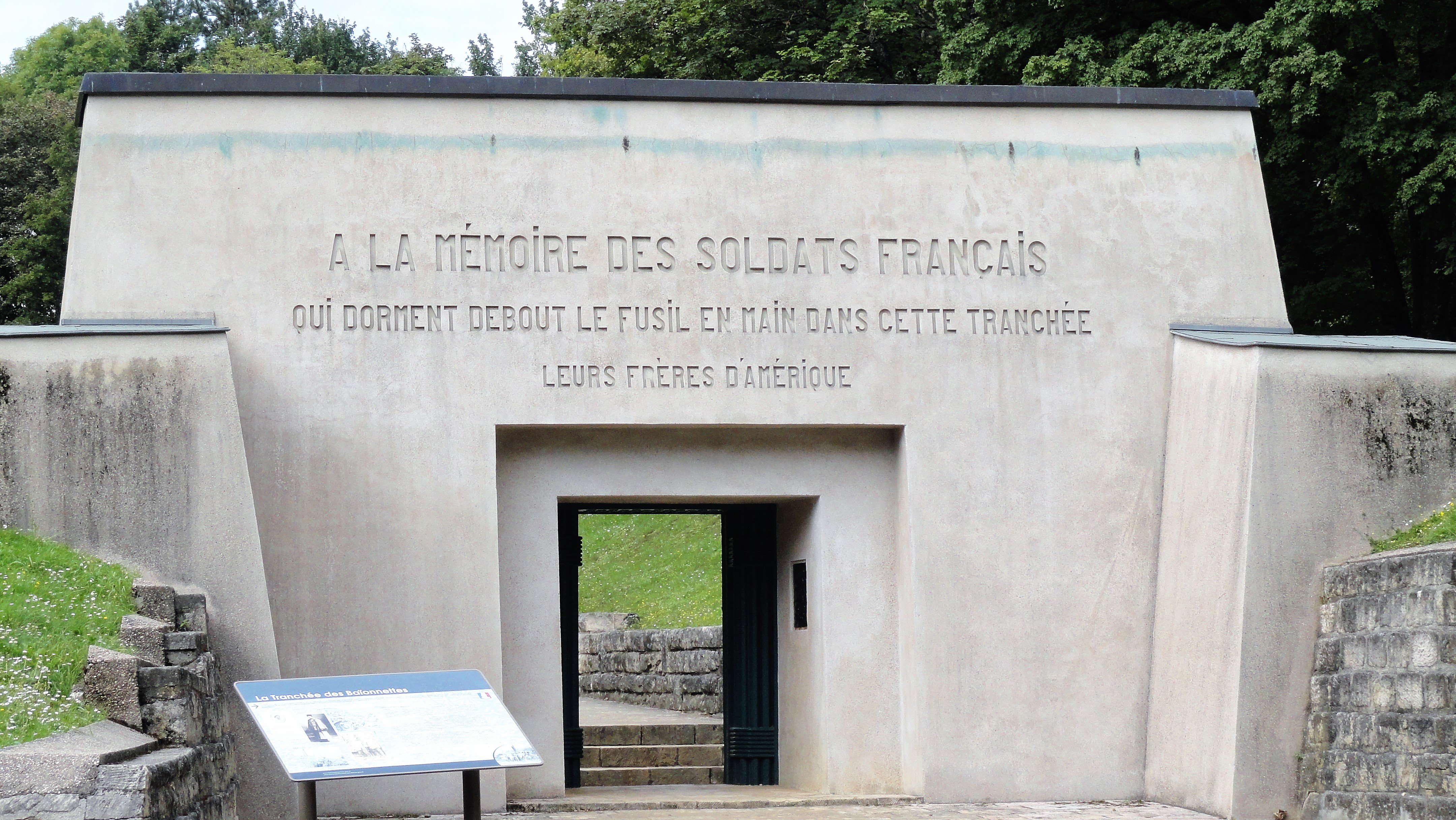
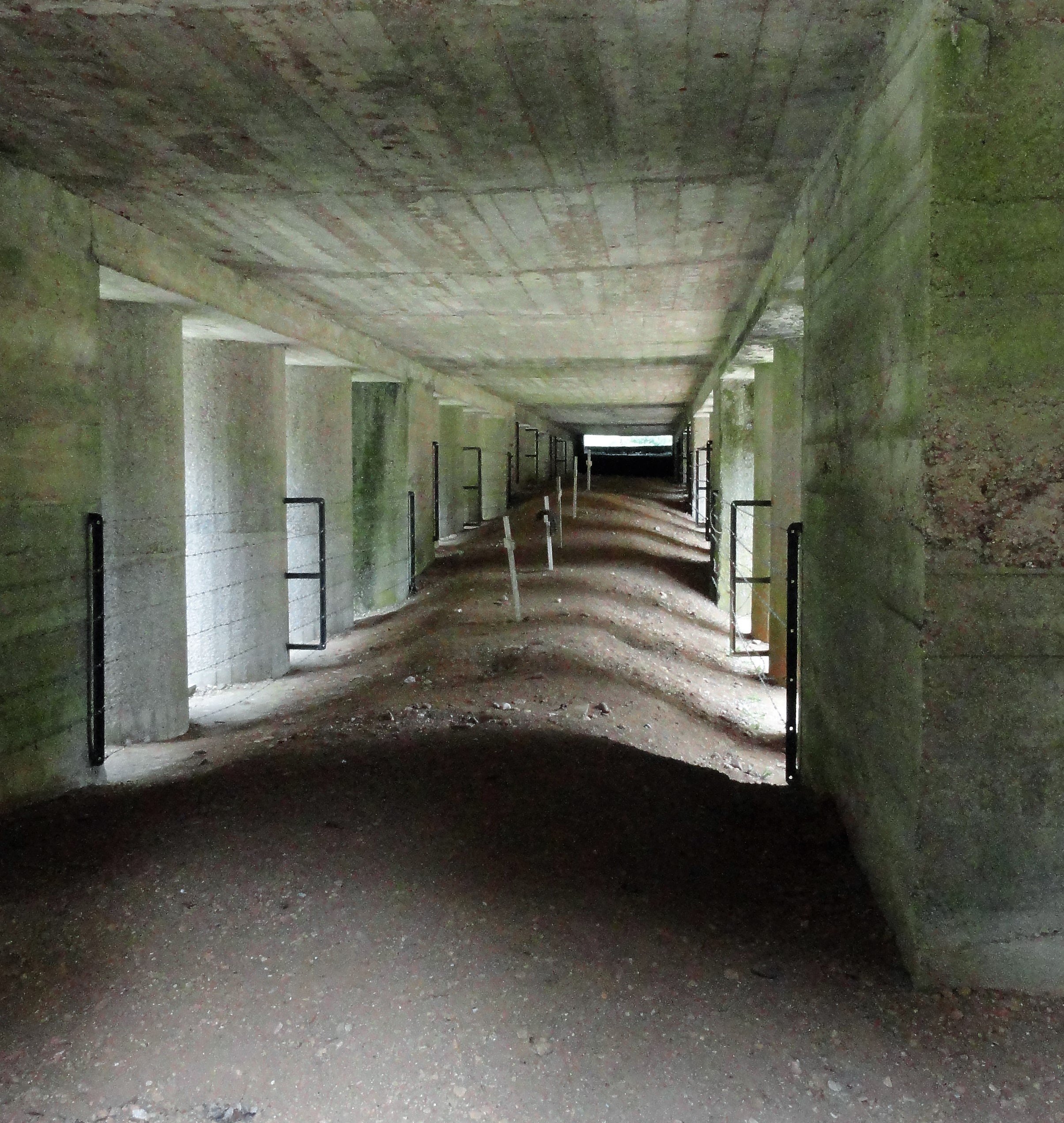
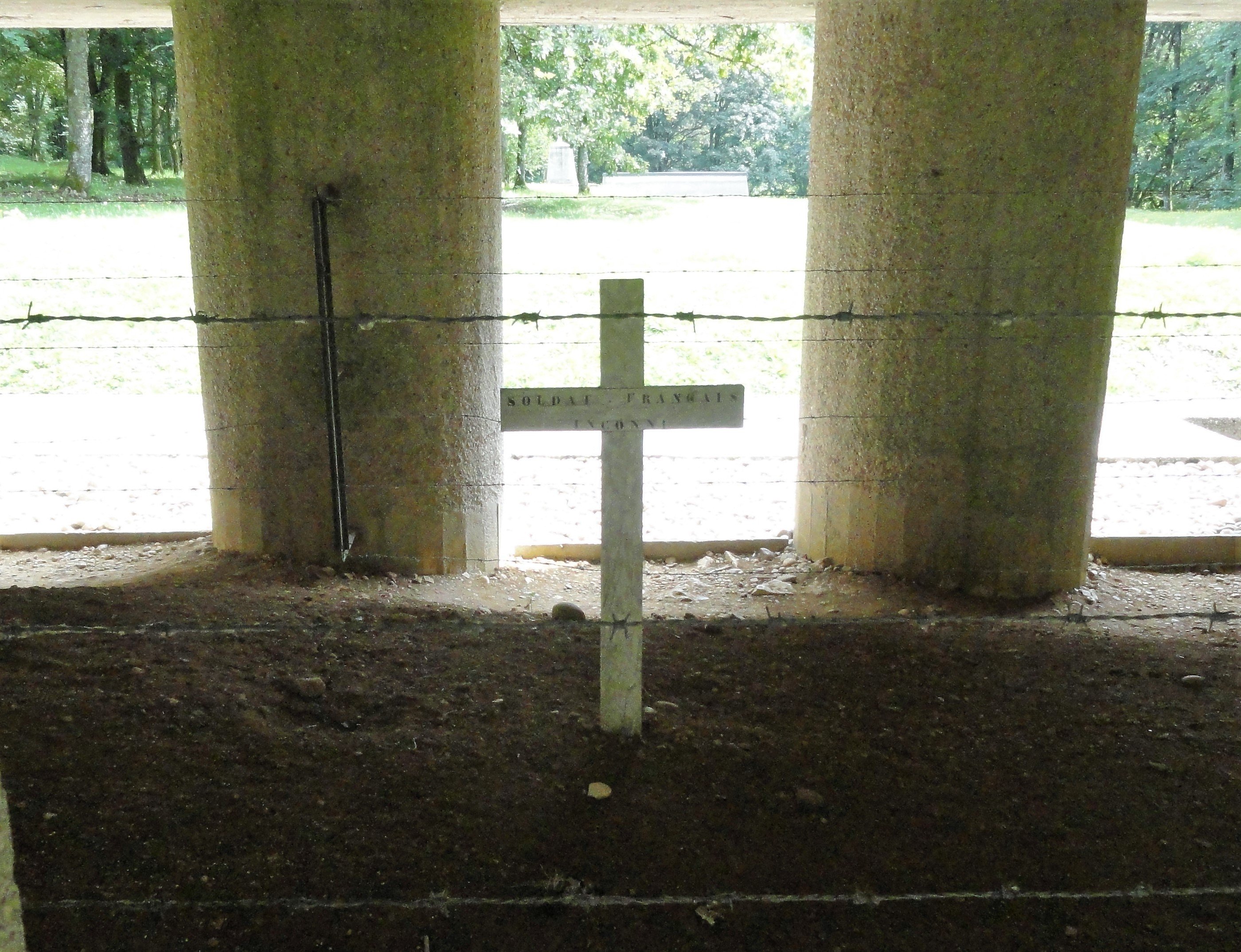
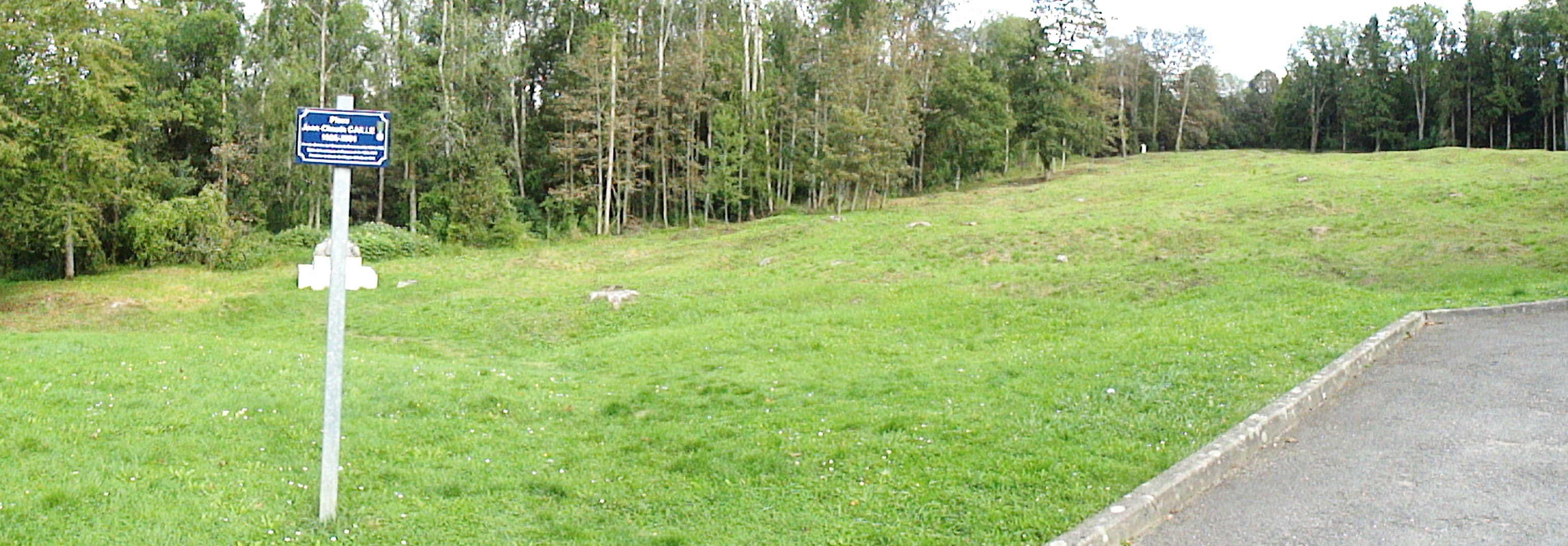
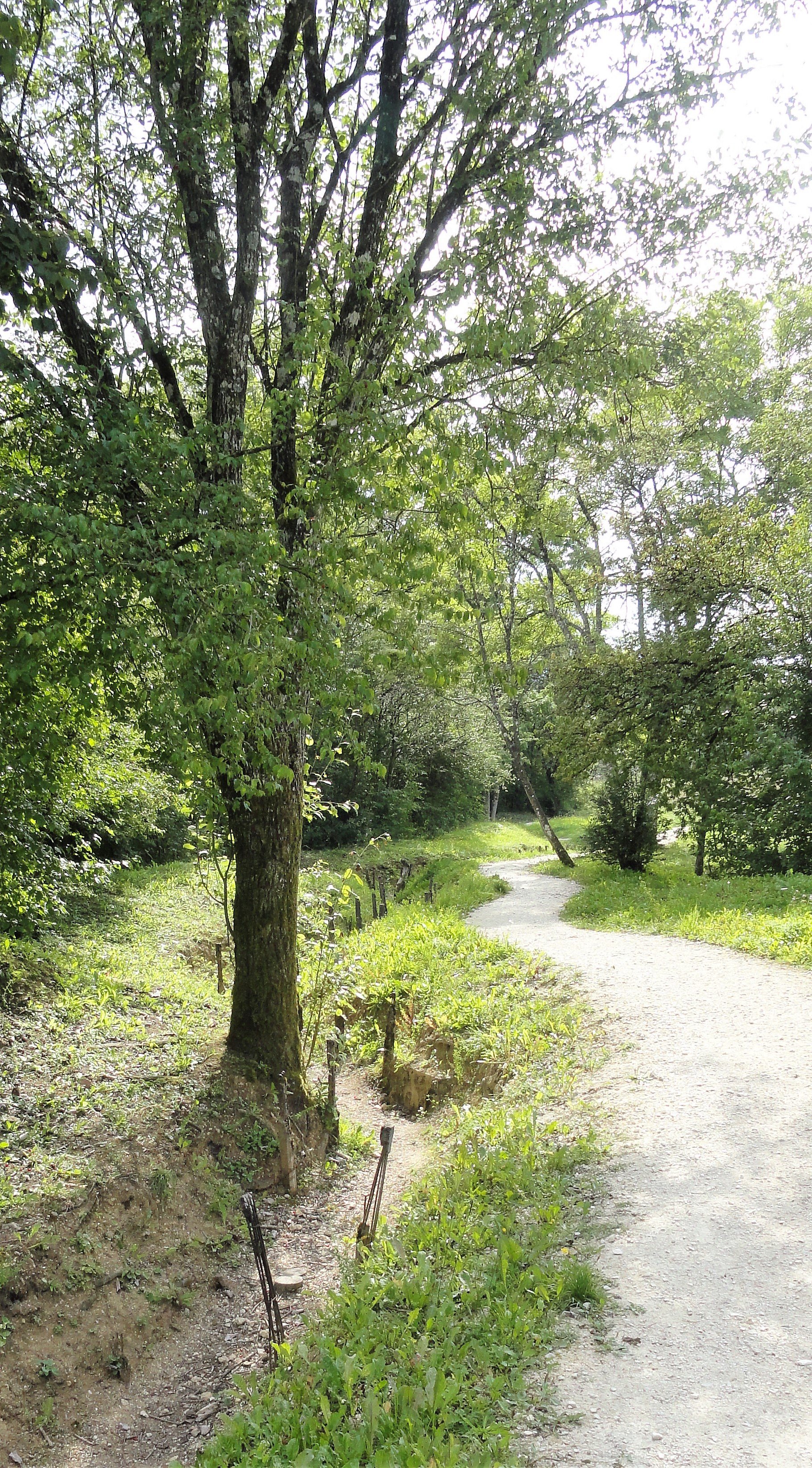
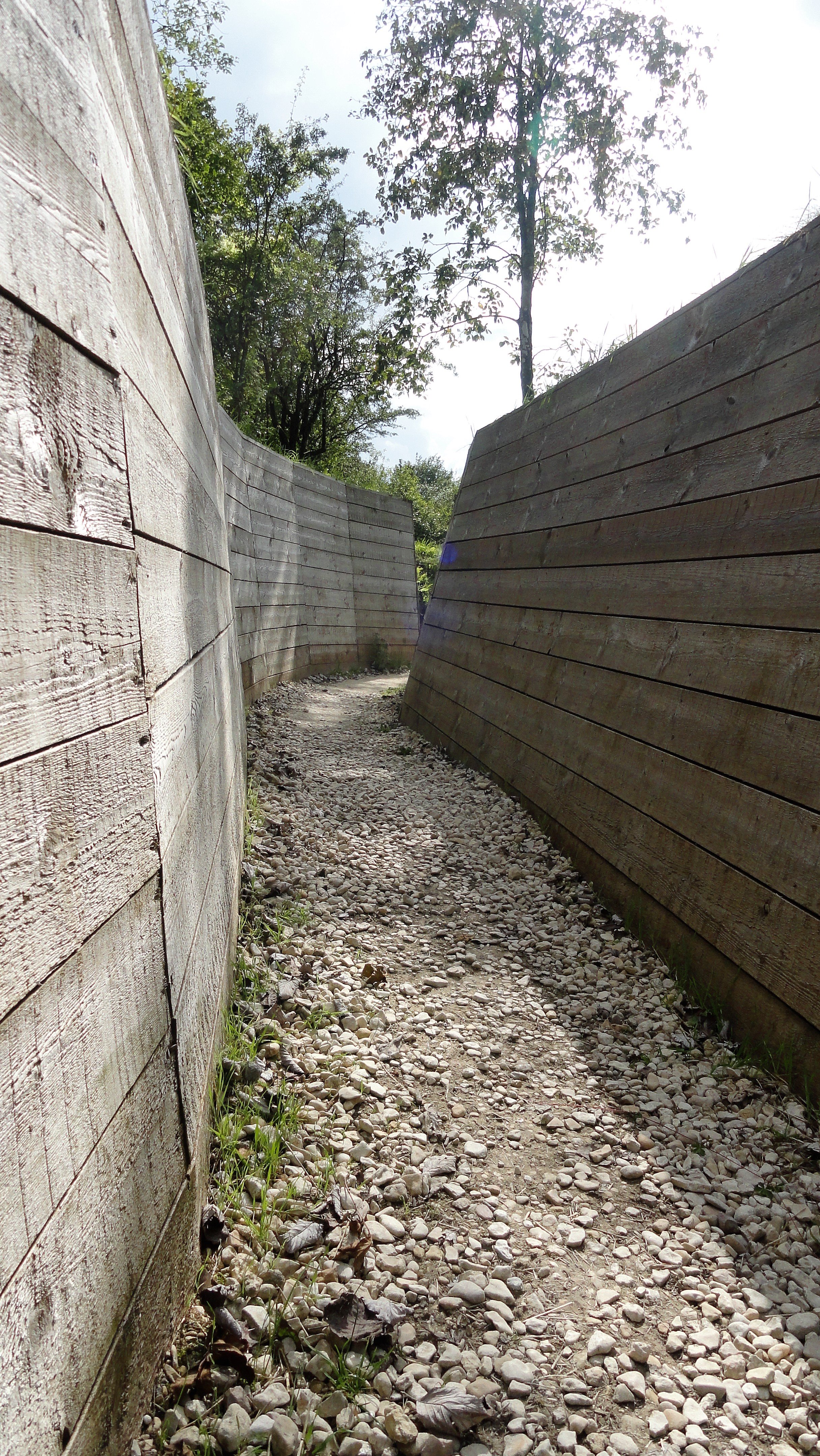
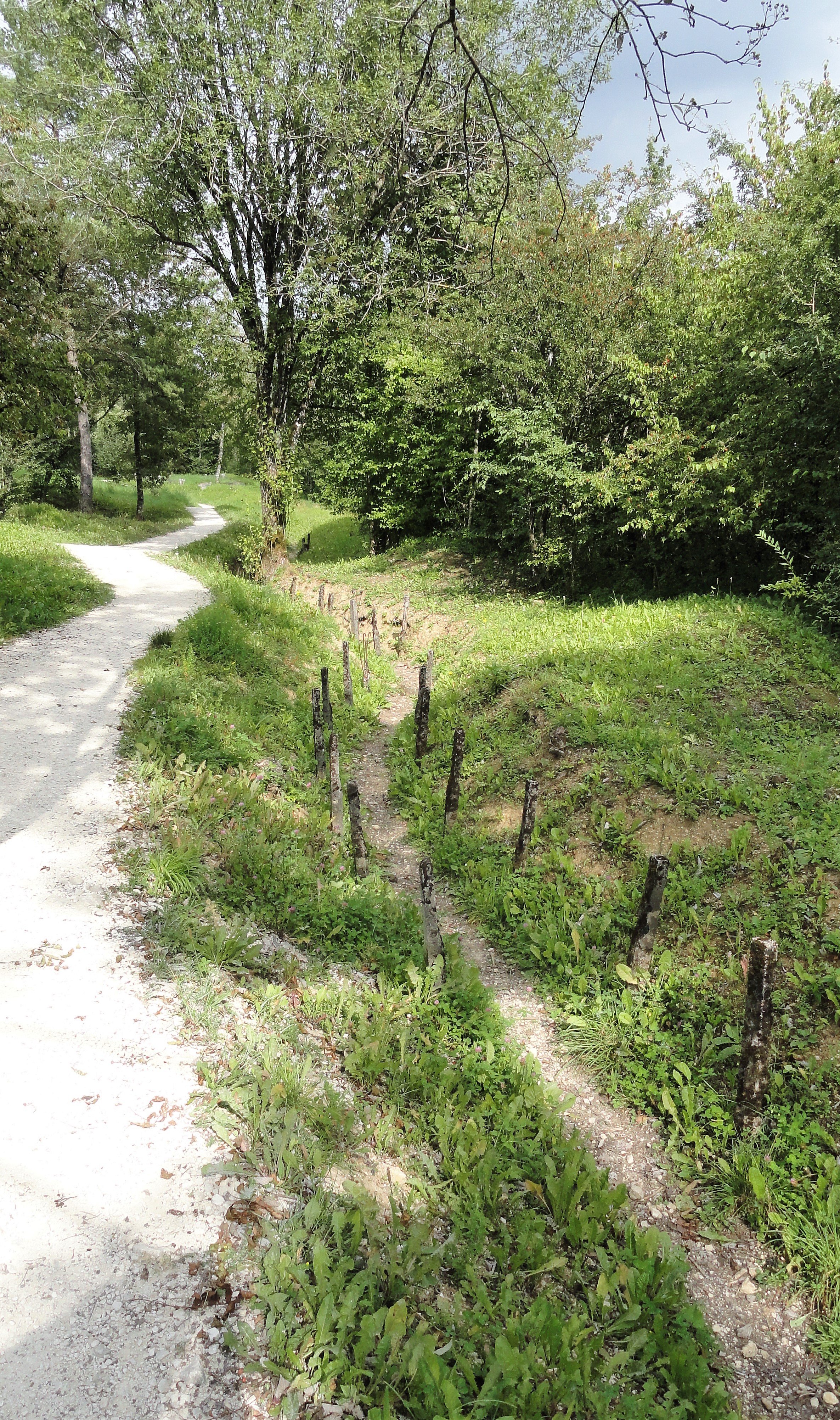
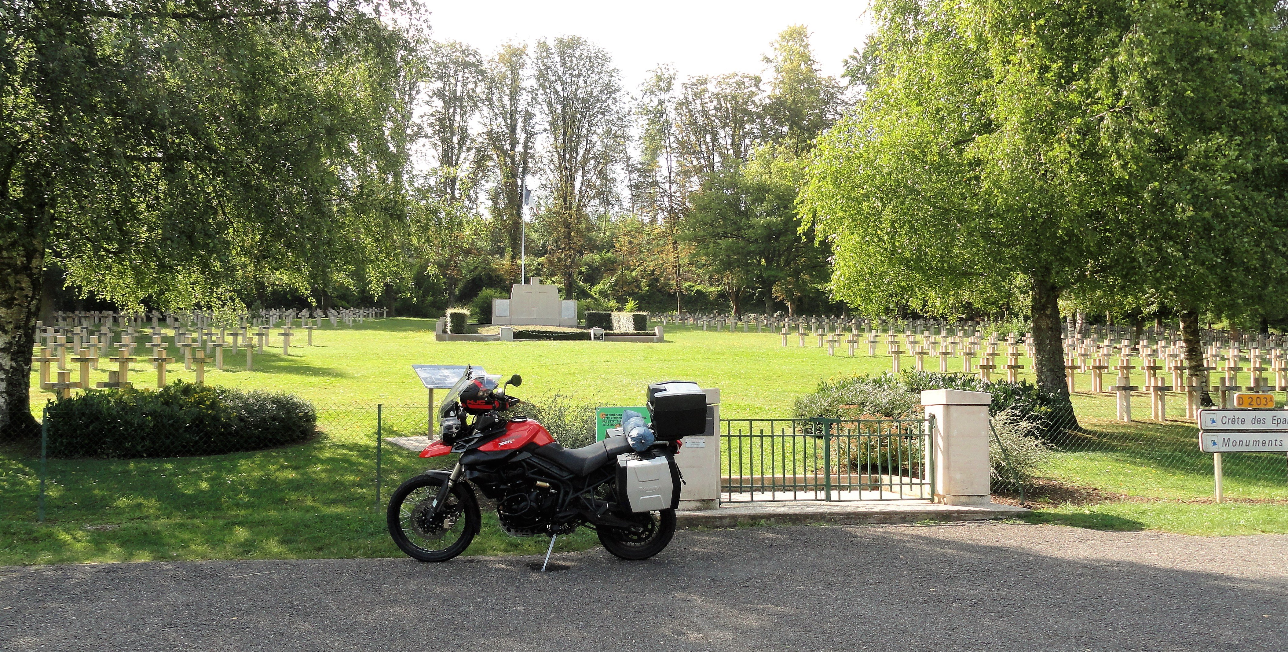
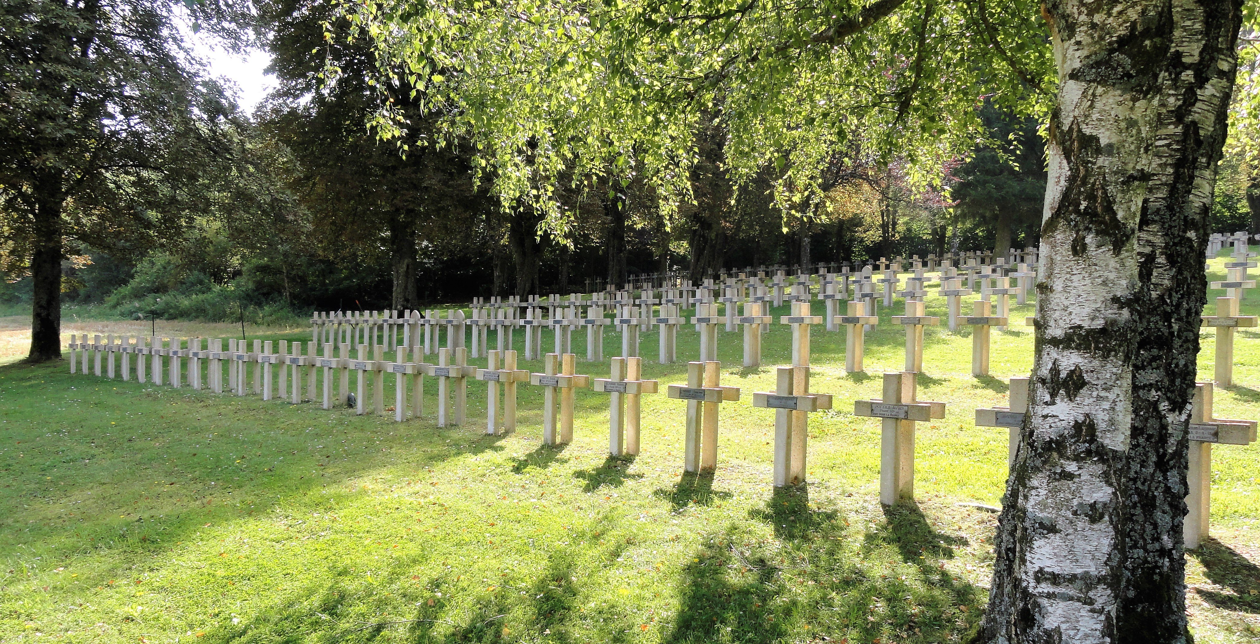
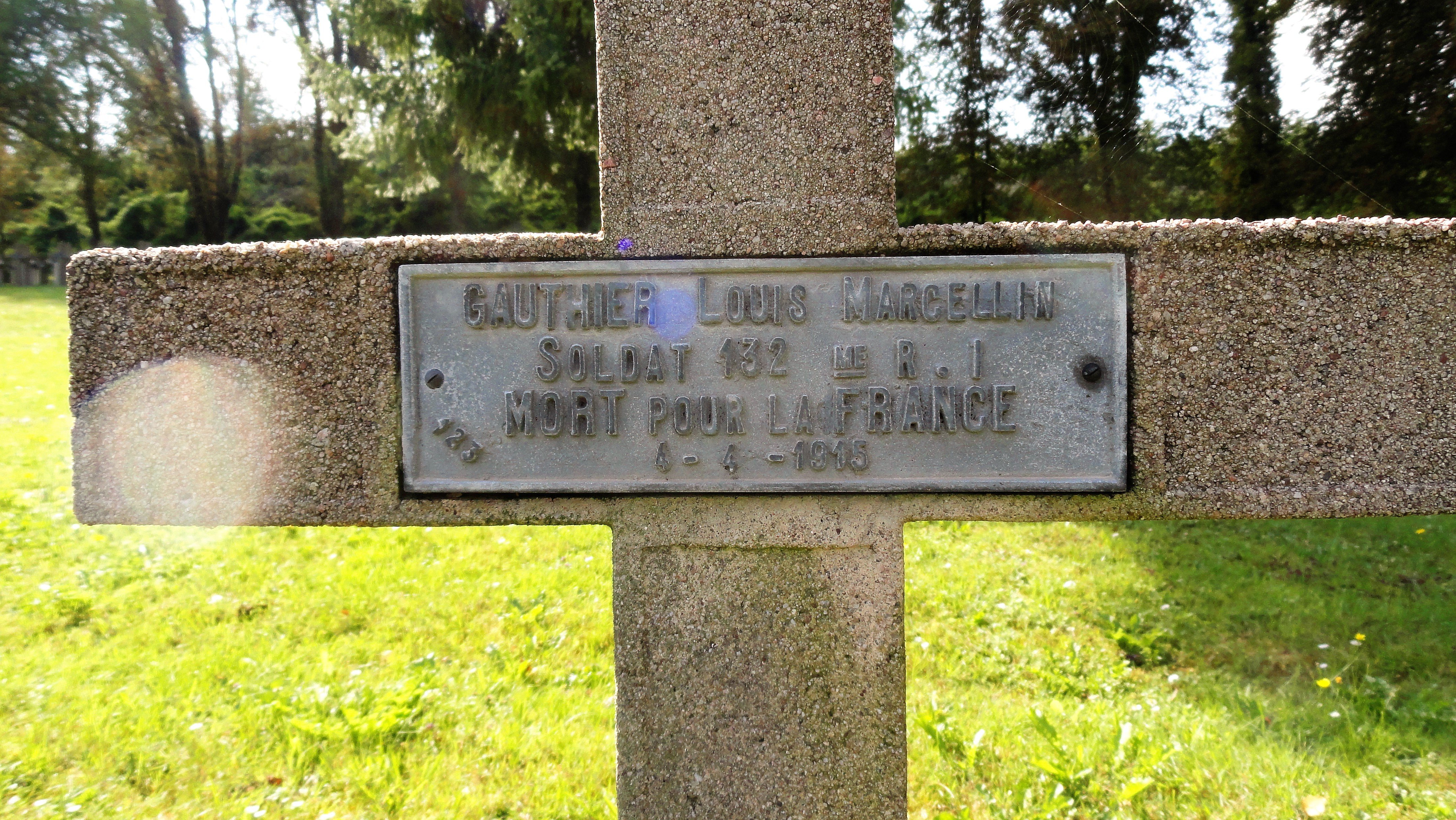
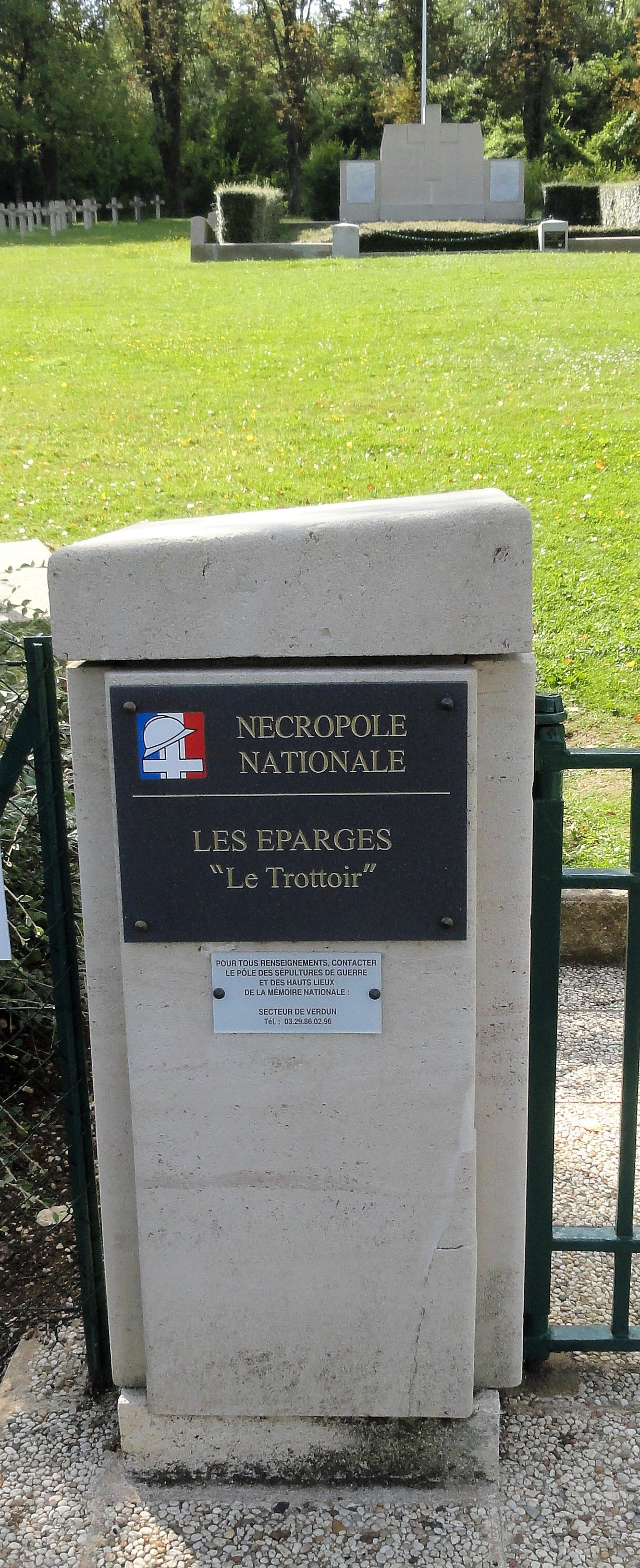
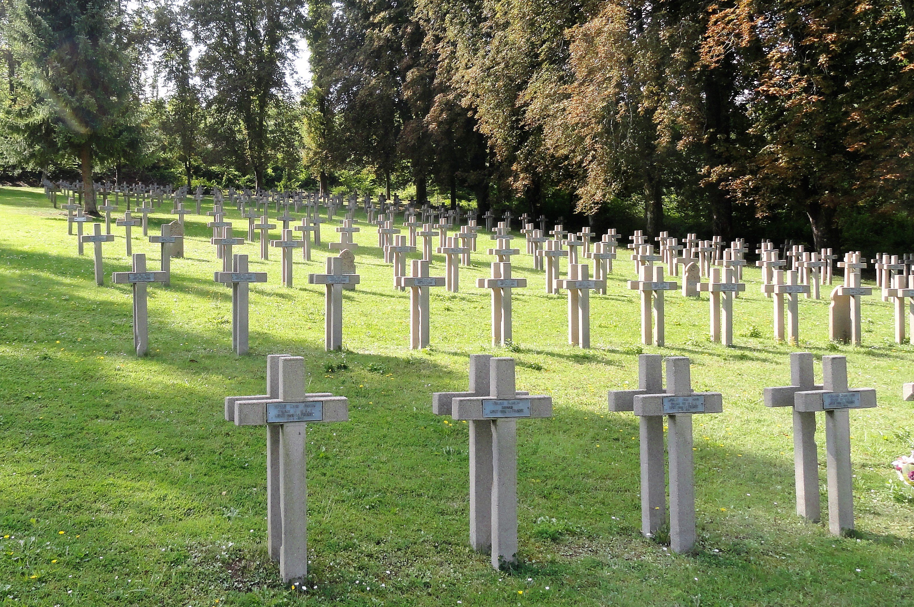
Bike trip to Verdun. 30th August to 1st September 2021. Having visited the 1st war battlefields of the Somme with their British and commonwealth cemetery’s and memorials and the American memorials and cemetery’s of the Meuse in Chateau Thierry (some of you will have seen those ride reports on previous incarnations of this site or similar) I have been trying for a while to organise a visit to Verdun and the French front of the 1st war. I’d been planning this trip for a while but struggling to find 3 days on the trot where no other obligation interfered with my being absent from either work or home. When work decided at fairly short notice that I could have 10 days holiday, I cleared it with the Mrs and fitted t in between a weeks hols (at home) with her and the kids, and the kids return to school. I dug the tent out of the shed and checked it wasn’t mouldy or rotted (I don’t use it very often…) and that all the poles and pegs were there. That being done I booked a spot in the municipal campsite in Verdun for a couple of nights and organised my kit for a couple of days away by bike. Sleeping bag and mattress in the plastic bag at the back. I reckon I won’t even need a tank bag. Loaded Just needed to update the GPS and away. Verdun is just sufficiently far from home to make it not doable in a day, at least not time wise if you want to actually visit any of the sites, but it’s not a full days ride to get there either so I left after lunch on Monday and as I was on my own purposefully planned a route via back roads and small villages, having all afternoon before me to cover the distance with the only constraint being the campsite sign in before 19:00. I usually stop after ½ hour or so of leaving home to have a quick check of baggage etc., just to make sure nothing’s come loose. To be faire it’s not really necessary with this set up as I only have the tent which is not inside the panniers, but old habits die hard and I still had a repaired rear left indicator that I needed to keep an eye on as repairs numbers 1 to 3 hadn't lasted ore than about ½ an hour. This repair seemed to be holding ( and indeed held for the entire trip). the weather was overcast but not cold which was almost ideal riding weather as I didn’t overheat immediately upon stopping. Le Lac du Foret de Lorient, north east of Troyes. No comment… I rolled up at the campsite about 18:00, signed in and paid my dues (19€70 for bike and tent for 2 nights) and was attributed a pitch right next to this guy Needless to say it didn’t take long for him to come over and say hi. A brit who left home 5 years ago and on his way to the ferry home having covered 49 countries and 230,000miles in the meantime. Campsite I ate at the campsite restaurant and retired early. I probably snored loudly throughout the night but it didn’t disturb me and I woke the next morning surprisingly free of aches and pains. I made coffee on the wee primus gas thingy, which was my only concession to proper camping, having decided and budgeted for not having to try and cook stuff or carry the necessary gear. Most of the morning passed in a pleasant chat with the guy next door about his travels and I eventually got moving about 11:00. stopped at a supermarket for some fuel and a sandwich for later and headed out to Vaux fort Fort Vaux “speckled Jim”? The message carried by this pigeon reads (my translation) “We’re still holding out but are under gas attack and the smoke is dangerous. It is urgent to get us out. Send immediate visual message via Souville who are not replying. This is my last Pigeon.” reading this bought immediately to mind the scene from the Lord of The Rings in Moria, where Gandalf reads the last lines left by the dwarves as they were overrun. “Souville” was one of the secondary underground forts further back, and I will come back to this later as I found another unequivocal reference from LOTR… The fort de Vaux is up a dead end and on the way back to the main road, I saw a fingerboard sign pointing down a side road saying “fusillés de Tavannes” so I followed it. the white plaque at ground level in front of the hole reads (my translation) “mass grave where were found in December 44 the mutilated bodies of 16 patriot resistants massacred by the Germans” This was a 2nd war memorial and kind of made me realise that this area was geographically and therefore strategically pivotal and heavily fought over in both wars. I found a nice quiet shady spot to eat lunch, which had an almost rotten picnic table for me to use. I was sat quietly reading a book and chewing a sandwich when I realised that the quiet and calm was REALLY quiet. I don’t know how much of it is imagination and autosuggestion but it is a commonly repeated tale that in places such as these where death and horror have been prevalent for a period of time, nature remains silent and even the birds don’t sing. True or not, that was the impression I had, not of horror, or of fear but just of calm and complete silence...not even birdsong. Then I heard a tap-tap… taptaptap...tap-tap… and caught a movement out of the corner of my eye. I reached for the camera and that scared him off but sitting still for 5 minutes saw him back again a Nuthatch I think. @Specs? crap image cos I was almost on full zoom. Back at the bike I saw these go by, again 2nd war stuff, odd to see them out during the week, especially so late in the season when tourists are thin on the ground. this camera is really slow between shots and not good a shooting “from the hip” as it were. I rode from my lunch spot towards the fort de Douamont, which is along much the same lines as the Fort de Vaux but I wanted to properly visit one of them, the inside as well and old that Douamont was better maintained. Had I realised that the 4€ entrance fee gave entrance to both forts I would have done both… Before I got to Douamont I saw a gravel / dirt trail off to the left with a sign reading “Souville” This was a forest trail, clearly not frequented by hordes of tourists cars and certainly not any camper vans or buses. A quick look at the map suggested that it would be possible to cut through this track and come out to the other side and simply loop back north to Douamont. About ½ a kilometre along this trail I came across this The fort de Souville Fort souville was a communications centre and underground fortified tunnel network which managed to hold out even after the fall of both Fort Vaux and Fort Douament. There was heavy fighting here and daily bombardements between june and september 1916 with a ferocious german attack on 11th and 12thJune. This is the rear entrance I think and despite being forbidden to the public due to the dangerous state of the maconry and the colonisation of the ruins by a protected species of bat, there are absolutely no barriers or physical interdictions. I regretted having left my torch at the campsite in the tent cos it was absolutely totally black in there and when I approached the doorway I nearly jumped out of my skin when a couple of bats flew out and back in again. As I was alone and nobody knew where I was more precisely than “Verdun” I wasn’t about to go in there blind. I switched the camera flash on and took a pic into the passageway looking carefully at the pic I took I could just make out a large hole in the floor about 15 feet in. Bloody good job I didn’t go in there! “The way is shut. The dead keep it and they do not suffer the living to pass. The way is shut.” 2nd LOTR reference… Having bottled out of lying in the dark alone with a broken neck... I carried on down the track and came out into a layby on the road to Douamont. The look on the faces of the 5 or 6 camping car occupants having their picnics in the layby when I came out of the track was priceless. I turned Noth as planned and headed fro Douamont fort, passing the memorial to André Maginot and the Ossuary/ Necropolis, which I would come back to later. Douamont Fort I paid the 4€ entrance fee to visit the interior of this one. I probably should have accepted the offer of the audio guide as the signage was sparse to say the least but I got the gist. Underground and under heavy andprolonged attack and bombardment this place must have been a living hell compounded by the apparition of gas shells and the first “ flammenwerfer” used to great effect inside the tunnels by the besieged Germans during the French counter attack and eventual recapture of the fort. Dormitory access tunnel to a machine gun post Once outside again I walked around the Fort and came across the 3rd LOTR reference, a tapping sound made me look up and there was this thrush on the rock face… From the top of the fort looking east they had this gun turret that could be raised mechanically from below ground and rotate like a ships gun turret, one set of winding handles to raise and lower it and another to turn left or right. This is in the raised position. To the right in the photo is the lookout or spotters turret with it’s 4inch thick steel protective “hat” The spotters protective turret top obviously took some hits… In memoriam of the regiments of “Tirailleurs” from north Africa fighting under French colours. From there I went back to the Ossuary and cemetery The Ossuary it contains the mortal remains of 130,000 soldiers both French and German. The cemetery in front of it has a further 16,000 individual graves, each marked with a name, rank and regiment. From there I went a couple of km’s further down the road to the “Tranchée de Baionettes” (the bayonet trench) Here, legend has it, that the advancing germans came upon a line of bayonets projecting upwards from the ground and on investigation realised that it was a French trench buried by earth thrown up from an exploding shell and the soldiers had died, buried alive standing where they were, bayonets fixed and ready to go over the top. The general consensus of opinion is that this is fairly unlikely in reality and a more realistic tale tells of dead soldiers having been buried in hastily dug shallow graves in a line and their batonets stuck in the ground in guise of grave markers. Legends being far more romantic than reality, it is the legend that captured the public imagination and this line of semi mythical bayonet wielding soldiers dying upright armed and ready. A wealthy American subscribed to erect a monument to their memory and protect this mythical trench. The Inscription on the entrance reads: “To the memory of the French soldiers who sleep upright in this trench weapons in hand Their brothers from America” The 12th June, 2 battalions of French infantry held these slopes when the Germans began their attack supported by heavy artillery. 3 times they were repulsed. On the 14th June the remaining French positions, exhausted, starving and out of ammunition were overrun. 1 officer and 1 soldier made it back to HQ. The 137th infantry regiment lost 37 officers, 133 NCO’s and 1387 soldiers. Before the war, both Fort Vaux and Fort Douamont had the villages of Vaux and Douamont nearby. Both these villages were totally destroyed by bombardment and today in each place there are 2 villages. The villages were rebuilt nearby and the destroyed villages left as they were, remaining as real places with a mayor and village council but taking the names “Vaux destroyed” and “Douamont destroyed” respectively. I went to have a look at the village of “Douamont detruit” expecting to find ruins amongst bomb craters. There is, quite literally nothing there but hummocky grass slopes. This is destruction on a biblical scale (Matthew 24 verse 2) “...not one stone will be left upon another, every one will be thrown down.” This pic is taken from the village square where the high-street enters. You can just make out a couple of foundation stones buried in the earth but otherwise only craters. I started to head back towards Verdun, which was only about 15 minutes away and that brought the realisation that the war was so intense and so destructive in this part of France that there are literally hundreds of memorials and relics and sites within a few miles radius of the town (which was itself almost completely destroyed). Riding along a forest road and looking at the woods on both sides something seemed odd and it took me a while to figure out what it was. There are no big trees. Tall yes, but no girth. NONE of the trees here are 100years old! Not one! And the forest floor isn’t flat, or level, or evenly sloping, it’s tortured and hummocked and cratered over every single inch of terrain. That odd looking ditch alongside the road… it’s not a ditch, it’s a trench… men fought and died here, in their hundreds. It’s not a question of there being hundreds of monuments in the area, the ENTIRE area, every single square inch of it was a war zone and was bombarded into oblivion. This is an ariel photo of Fort Douamont before and after the battle of Verdun. At the beginning of the German offensive on Verdun they had 140,000 troops, 1,200 artillery pieces equipped with 2,5million rounds and had 1,300 ammunition trains to supply them further shells. The German air force also had 168 planes in the area. This was the largest scale attack in history. Facing them the French had a number of poorly equipped and ageing forts manned by 30,000 troops. On the 14th February 1000 German artillery guns opened up along a six mile line. 100,000 shells an hour for 10 hours. The battle of Verdun lasted for 300 days and 300 nights and by the end of it somewhere between 6 and 700,000 people had been killed. Much of the general terrain is still recognisable as battlefield due to the shell craters that overlap and run into one another leaving no ground flat or level but some of the trenches have survived and some are maintained as memorials but if you look closely they are everywhere. i went on from here to the Verdun Memorial Centre and was about to cough up the 16€ (!) for the tour when the girl behind the desk said that the tour lasts about 2 hours. That was going to push me beyond 7pm and I wanted to get back to the campsite, have a shower and a beer before feeding time, so I gave it a miss. I rode back to the site the long way round and arrived back in time for a decent shower and a beer and chin-wag with my neighbour before going back into town for a restaurant. -------------------- The next morning I was slow to heave my carcass out of the sleeping bag and by the time I’d got organised with coffee on the go my neighbour ( who, to be fair, has been doing this tenting lark rather more than I) had already nearly finished packing all his stuff away onto his bike and was ready to leave on his last leg to the ferry and home after 5 years away. We had a quick natter over more coffee and wished each other safe riding before he left. I packed my stuff up slowly, being in no particular rush and having no particular timetable or plan for the day except to get home, preferably before dark. I had read many years ago about the Saint Mihiel offensive of September 1918 which was the first to be made by the American 1st army under general Pershing, supported by the French on the western flank. Here Patton made a name for himself with his aggressive tank tactics and saw the first majour use of the United States Army Air Service. On the way there I saw a signpost to “ Eparges”… How could I have missed that in the planning stages of this trip? My mother in Law had given me a book for Christmas written by Maurice Genevoix all about the battle of “Eparges” and she had said to me that “Grandpére Gauthier” (my wife’s great grandfather) had died as a soldier in that battle. So I forked off and followed signs for Eparges and then “ Monuments” and came across the military cemetery. Having done various military cemetery’s in the Somme and Meuse areas I know they usually have a file or book somewhere listing the names of the soldiers buried there and a grid reference for each grave. This can avoid hours of searching in what can be huge cemeterys with thousands of graves. the book was behind a metal door set in the back of this pillar There was only one Gauthier listed. I rode up to the monuments, and back down. On to Saint Mihiel where I didn’t really find anything interesting so I must have missed something there. I stopped at a supermarket for fuel and picked up a sandwich. Phoned the Mrs to let her know what route ( ish) I planned on taking home and set off. Got home at 17:30 and went straight into the shower cos I’d been riding into the sun for the last 3 hours and was all hot and sweaty with the temps up in the high twenties. Overall I’d done 650km and the entire 3 day jaunt had cost me 160€ which includes fuel, camp site and food, despite restaurant feeding on the two evenings. The bike was, of course brilliantly faultless. My indicator repair had held up and I was pleasantly surprised at the lack of aches and pains following the nights in a tent.